
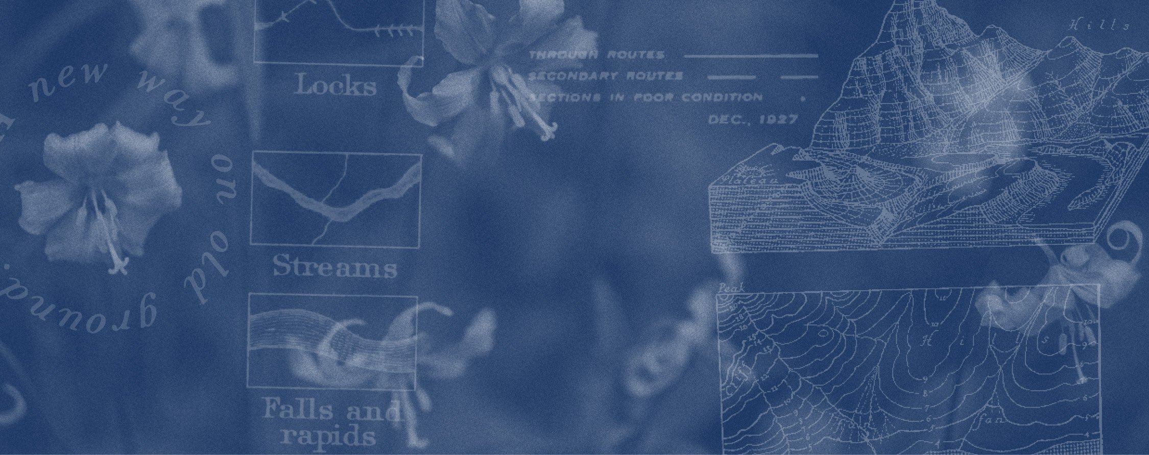
colemonti crossing
Loowit Tier

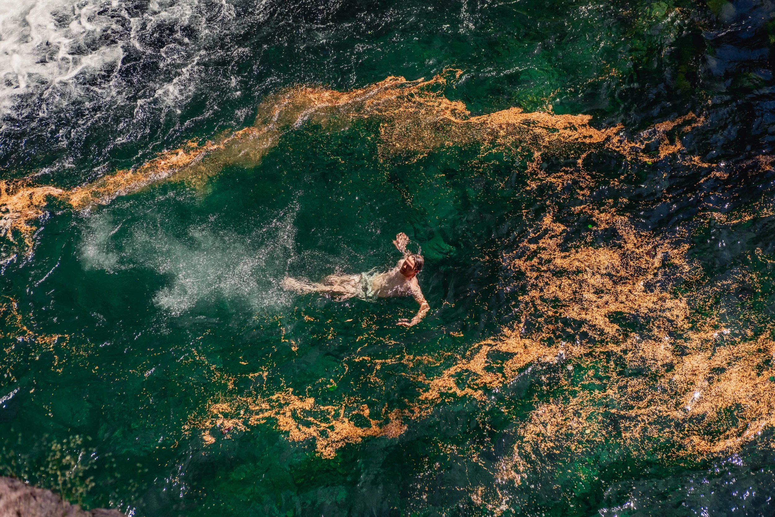
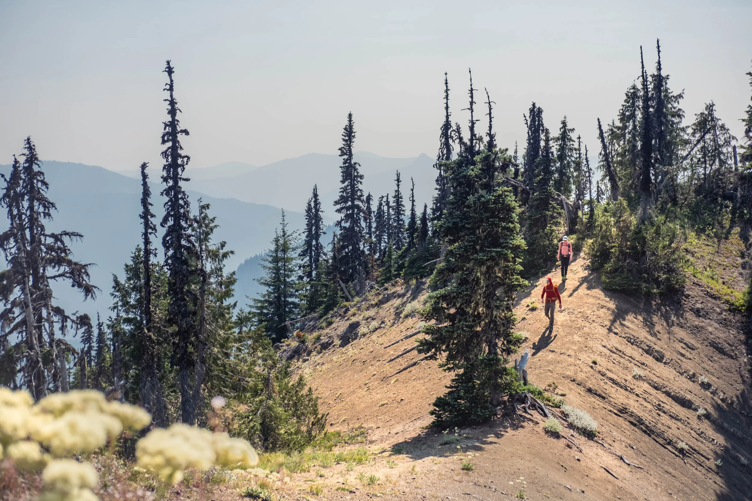
Tall, steep ridgelines separated by dense stands of towering firs dominate this landscape. Water is abundant, flowing from prehistoric jungles of skunk cabbage and devils club at every twist in the trail. These forests were no match for the eruption of Mount Saint Helens though, and in 1980 they were laid flat, their skeletons still visible 45 years later floating in Spirit Lake. Pedaling through this lunar pumice expanse on the Plains of Abraham is an experience like no other.


This route is version 1.0. You should expect there to be occasional errors, better routing options, and more POIs that should be added. If you ride this route we want your feedback.

Loowit Tier At a Glance
Start/End: Packwood, WA to
White Salmon, WAMiles: 197
Elevation gain: 33,585’
Days: 6-8
Singletrack: 49%
Dirt road: 40%
Paved: 11%
Physical difficulty: 8/10
Technical difficulty: 6/10
Season: Mid July to October
Highest Point: 5,374’
Home of the Cowlitz, Siletz, Yakama, Klickitat, and Wishram people
Washington’s Colmonti Crossing’s climbs out of Packwood into the majestic stands of the Gifford Pinchot National Forest and south to the Columbia River Gorge. Along the way this tier earns its namesake and climbs over the shoulder and through the blast zone of Loowit, better known as Mount Saint Helens. It then winds its way through Indian Heaven before dropping into White Salmon.
The Loowit Tier leaves Packwood following Highway 12 for three miles and then begins a long slow climb to Elk Pass where you’ll duck onto the Klickitat Sisters Trail at mile 18. This trail is only seventeen miles long but humbles most who try to ride the whole thing. It’s a primitive high elevation ridgeline trail that punches up and down some impossibly steep grades. Heading farther south the route crosses the Cispus River and goes straight up the classic favorite Strawberry Ridge Trail, but a mellow paved climb parallels it if you don’t like riding rowdy descents in the wrong direction.
From Norway Pass you climb onto the Plains of Abraham, all the while distracted by the looming Loowit, and descend Ape Canyon to the resupply of Northwoods. After way too many ice cream sandwiches you’ll climb the pristine Lewis River Trail and then up to Indian Heaven and the forgotten gem of the Tillicum Trail. The Yakama, Klickitat, Cascades, Wasco, Wishram, and Umatilla tribes have been gathering in this special area for berry picking, fishing, and hunting for at least the past 9,000 years. Heading farther south you’ll descend into Trout Lake—don’t snooze on the milkshakes—and then up into the Buck Creek Trail System and drop down Nestor Peak. One last push brings you to the rim of the Columbia River Gorge on Hospital Hill and a final descent back into civilization.
Logistics
When should I ride it?
A very late snowpack and hordes of mosquitoes make fall our favorite season to ride here, but it should be mostly melted out by mid July and stay that way until October.
How do I get there?
The Loowit Tier starts in Packwood, WA and ends in White Salmon, about an hour drive from Portland. L.E.W.I.S. Mountain Highway Transit services the Cowlitz Valley with daily buses and the Columbia Area Transit (CAT) bus services all the major communities in the Gorge. Both are inexpensive and convenient.
Is this route for me?
The riding in the Gifford is notoriously steep, remote, and rugged, but the views and descents make it worth your while. The Klickitat Sisters Trail in particular has some very steep sections—don’t overestimate how far you can travel each day. The Loowit Tier can be ridden northbound or southbound and we’ve provided some alternate options for skipping particularly rude climbs in either direction.
Because of these considerations, this is not a section of the route that’s great for novice bikepackers, but there are many quiet dirt roads that parallel much of it if you would prefer a more leisurely tour.
What bike should I ride?
The rugged, technical nature of this Tier demands a mountain bike with fatter tires (2”+) and ideally suspension in front and rear. Half of the route is singletrack, and much of it is technical. This route is also quite remote so the most important thing is that your bike is in good working order and it’s comfortable for you. You don’t want your body or your steed to break down and leave you stranded.
Navigation
Navigating your way through remote and frequently unsigned roads and trails is often the most challenging part of bikepacking. The Ride With GPS Ambassador Route map shown here is accurate and the best way to navigate this route. Download the Ride With GPS app on your phone and learn how to save routes for use without a cell signal. You can also export the GPS file to another device from the Ride With GPS website.
Did we mention there’s no cell service for most of the route? You won’t be able to text your friend to pick you up, check Google maps, or even post on Instagram! Make sure you are confident in your navigation skills before venturing out, and that your mapping apps have downloaded data for offline use.
Camping & Lodging
Dispersed camping and developed campgrounds are widely available along the Loowit Tier, but there are very few lodging options outside of Packwood and White Salmon.
Water & Resupply
Fresh water is abundant on most sections of this route, but a water filter or other purification method is a necessity. Important water sources are indicated with POIs on the map where there are longer stretches without water to filter: Klickitat Sisters Trail, Strawberry Ridge, and Plains of Abraham.
On the other hand, food resupply is very limited along this Tier—only two options exist and the first (Northwoods) is 100 miles into the route from Packwood. The second, Trout Lake, is near the southern Terminus in White Salmon.
Be Considerate
You’re sharing these lands with many others, ride single file on roads and yield to other users along the trail. You’ll be surprised by who you’ll meet and what you’ll learn with a friendly ‘Hello.’ Practice the Leave no Trace principles and tread lightly where you ride and camp.
Highlights
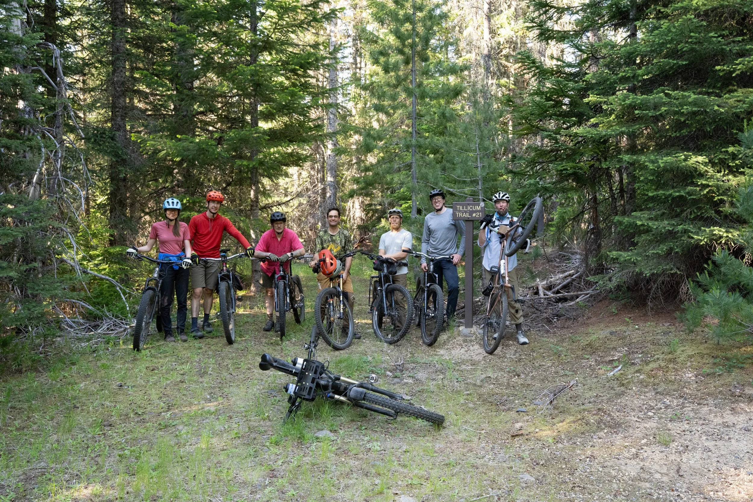
The Klickitat Sisters #7 Trail is an ancient indigenous trail, restored by Orogenesis Collective volunteers over several years. It is also the longest bike-legal trail in the Gifford Pinchot National Forest that is not bisected by roads.
The iconic pumice strewn Plains of Abraham on the flanks of Mount Saint Helens give you an up close and personal look at an active volcano.
The huckleberry fields and porcini mushrooms of the Gifford are some of the more plentiful around.
This forest is especially spectacular during the fall colors, usually in early October.

Who is loowit?
The Klickitat people tell a story of Loowit, once an old woman, now turned into a beautiful maiden and given eternal life by the chief of all gods, Chief Tyee Sahale. Sahale’s two sons fought violently to win Loowit’s affection and even burned villages and forests. Sahale became angry and destroyed all three quarreling lovers, and in the process, the Bridge of the Gods as well. As a memorial he created the three mountains we know today as Hood (indigenous name unknown), Adams (Pahto), and St Helens (Loowit).
Do
Plan your water and food resupply carefully. The first 100 miles has no resupply and many of the ridgeline trails have limited water sources.
Pack some bug spray. The skeeters are notorious in early summer.
Don’t
Bite off more than you can chew, the terrain is steep and slow.
Be afraid to deviate or take a day off—there are many excellent trails in this area.


The trails along the Loowit Tier are stewarded by Evergreen Mountain Bike Alliance, Washington Trails Association, NW Trail Alliance, and Hood River Area Trail Stewards. Consider joining them for a trail a maintenance event or donating to their org.