
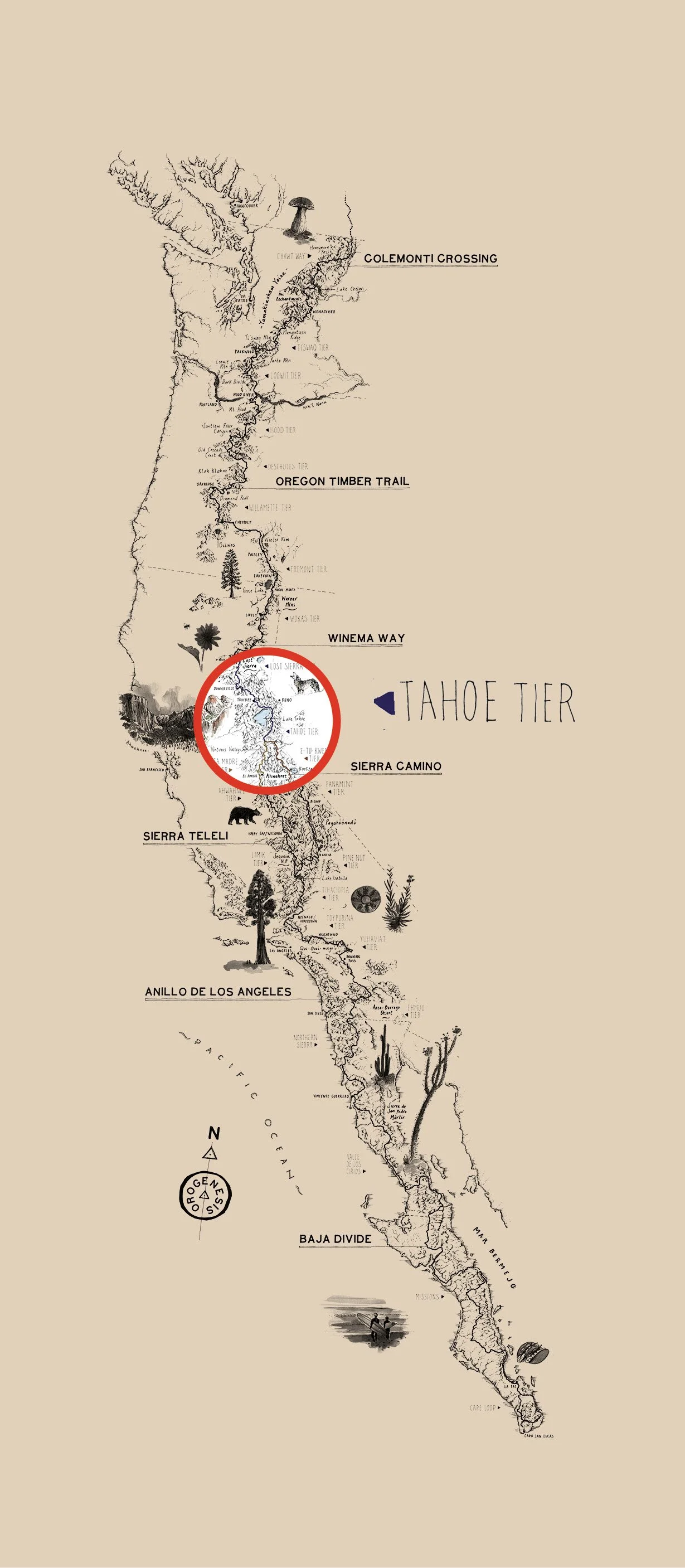
Sierra Camino
Tahoe Tier
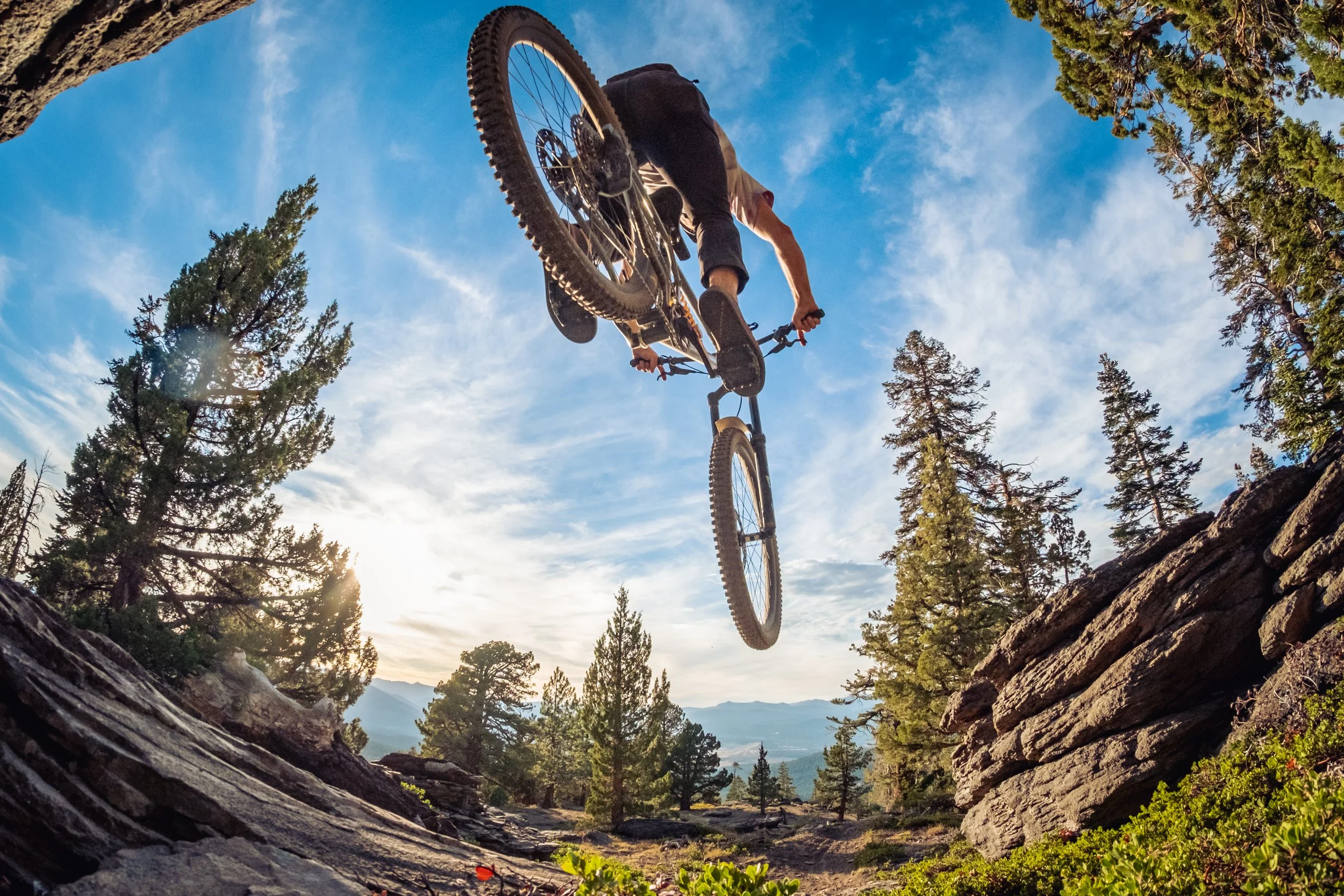
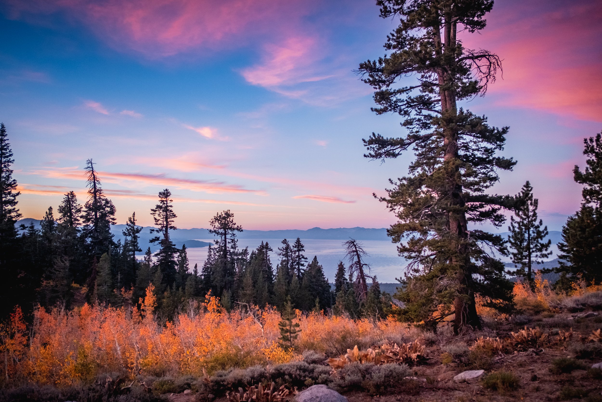
The Sierra Camino connects Downieville to Mammoth along a spine of wild, often-overlooked terrain. Sweeping views of Lake Tahoe open up between high ridgelines and granite basins, while the trail under your tires shifts from modern, purpose-built singletrack to rugged cuts once carved by westbound pioneers. This is a ride through both time and elevation, with no shortage of 3,000-foot climbs and descents. But if you’re up for a big day or two, you can ride town to town and “credit card camp”—ending the day with a warm bed, a hot meal, and a shower.
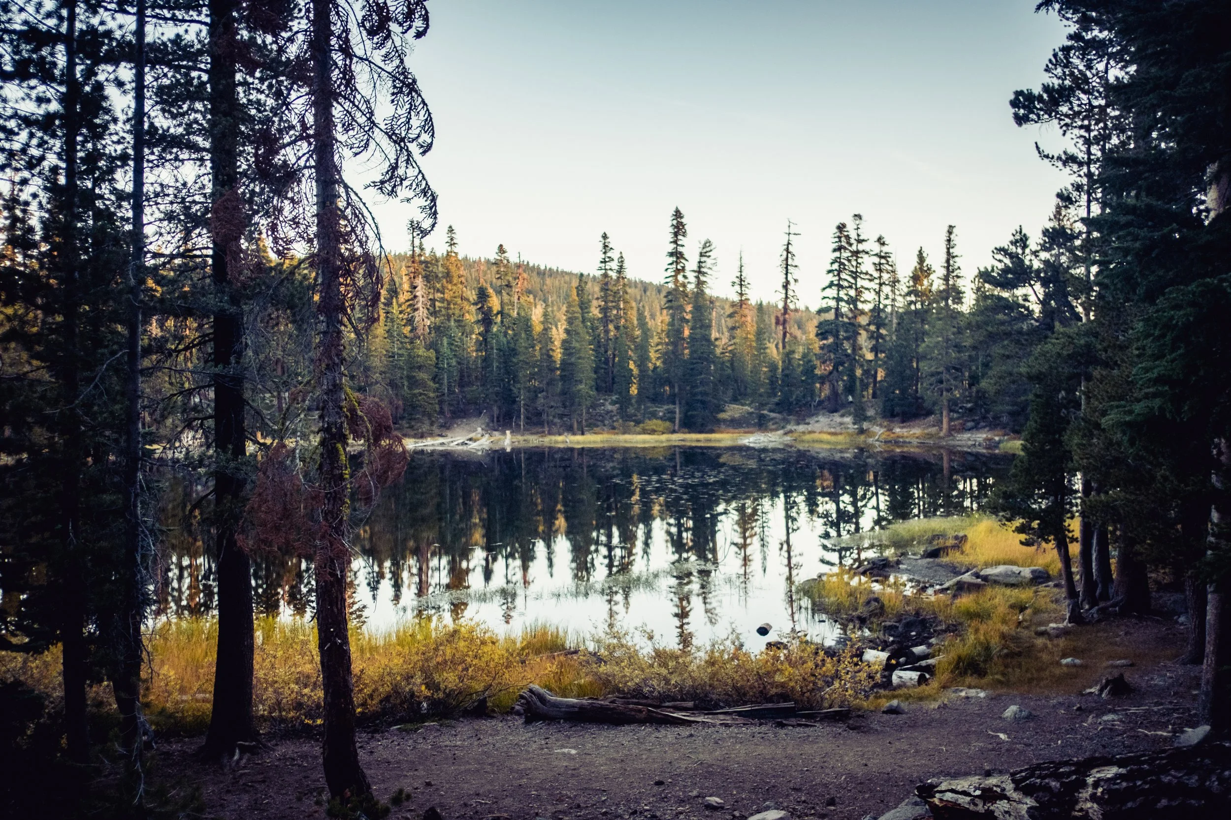
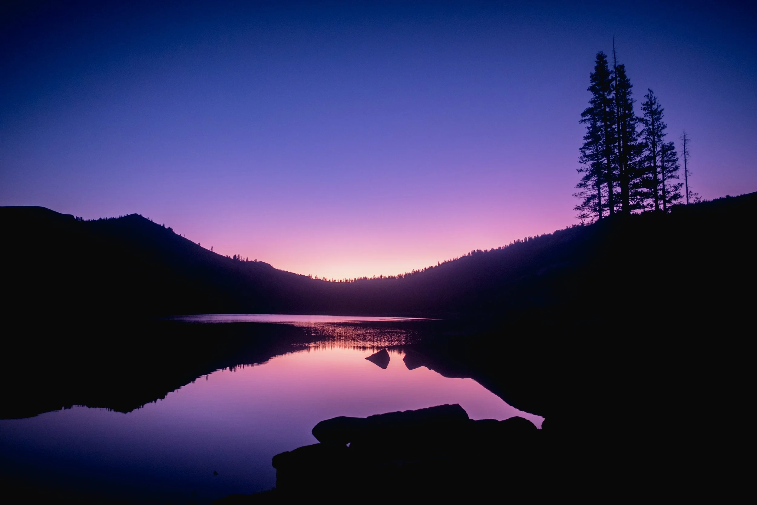
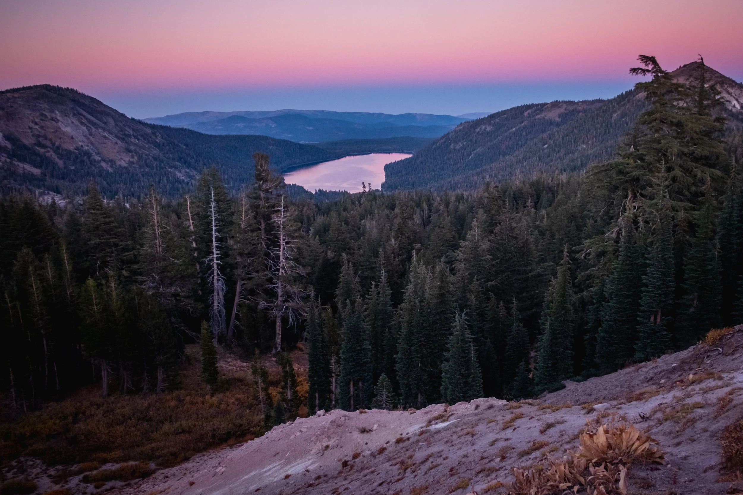
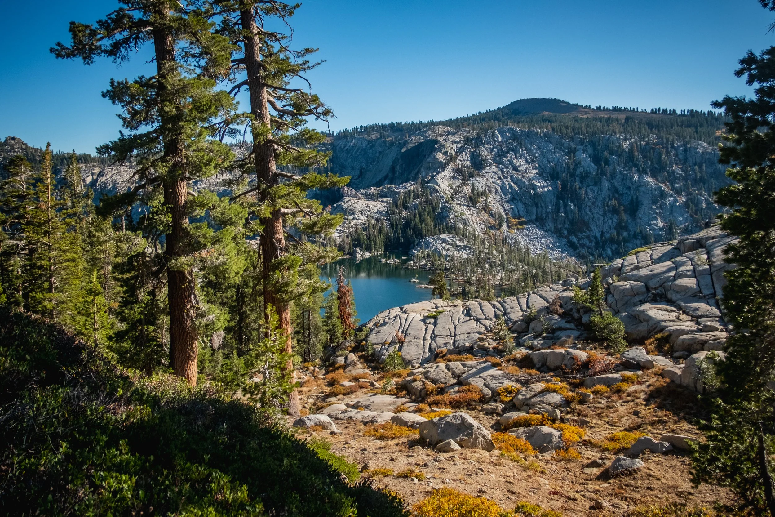
In a mountain range largely defined by high-elevation wilderness that is off limits to bikes, the Sierra Camino follows a surprisingly diverse and stunning collection of trails that link some of the best-known and least-known mountain towns in California. An alpine lake or mountain stream is always at hand.
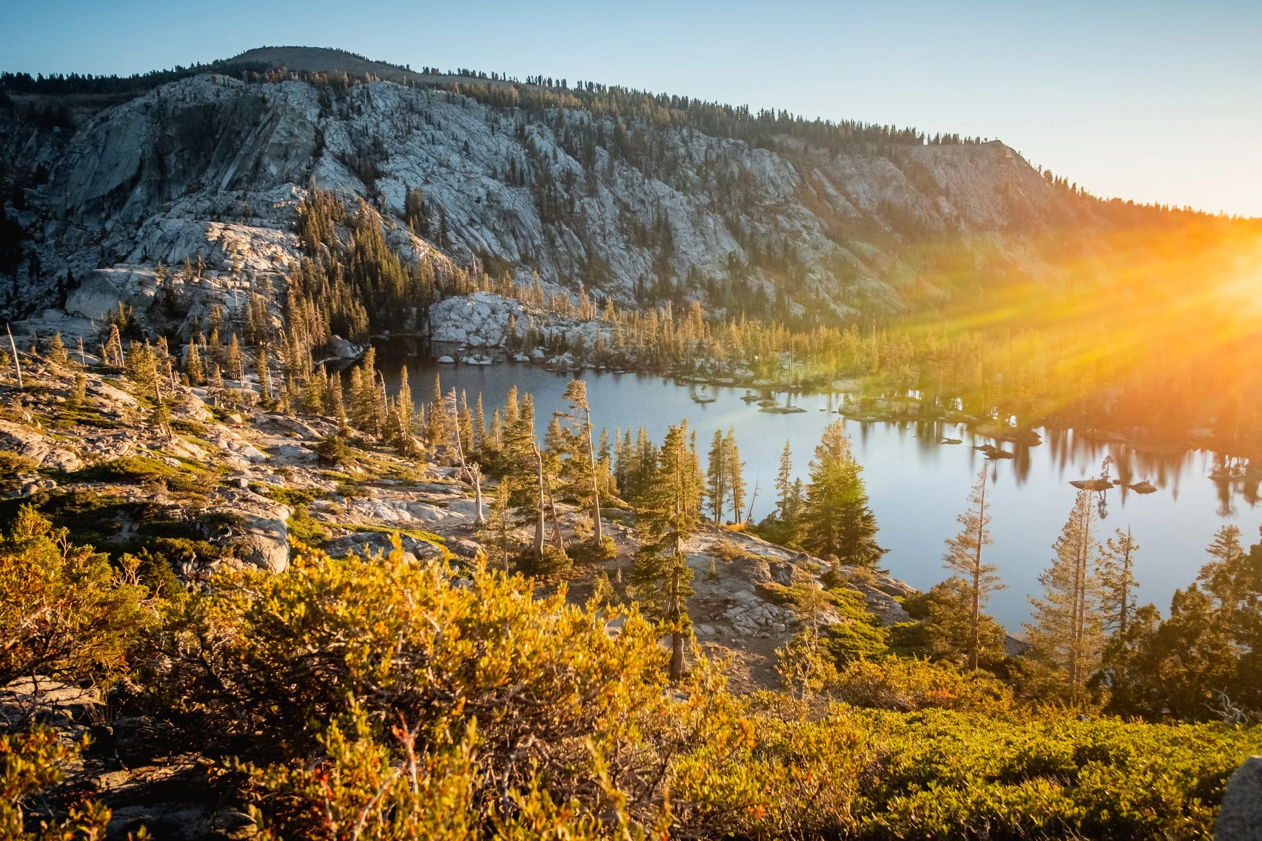
The Sierra Camino’s northern half—the Tahoe Tier—is focused on the iconic decomposed granite trails of the Lake Tahoe basin and surrounding backcountry landscapes.
This route is version 1.0. You should expect there to be occasional errors, better routing options, and more POIs that should be added. If you ride this route we want your feedback.
Tahoe Tier At a Glance
Start/End: Donner Summit to Markleeville, CA
Miles: 143
Elevation gain: 19,121’
Days: 3-4
Paved: 12%
Dirt road: 7%
Singletrack: 81%
Physical difficulty: 5/10
Technical difficulty: 6/10
Season: June through November
Highest Point: 9,736’
Home of the Washoe People
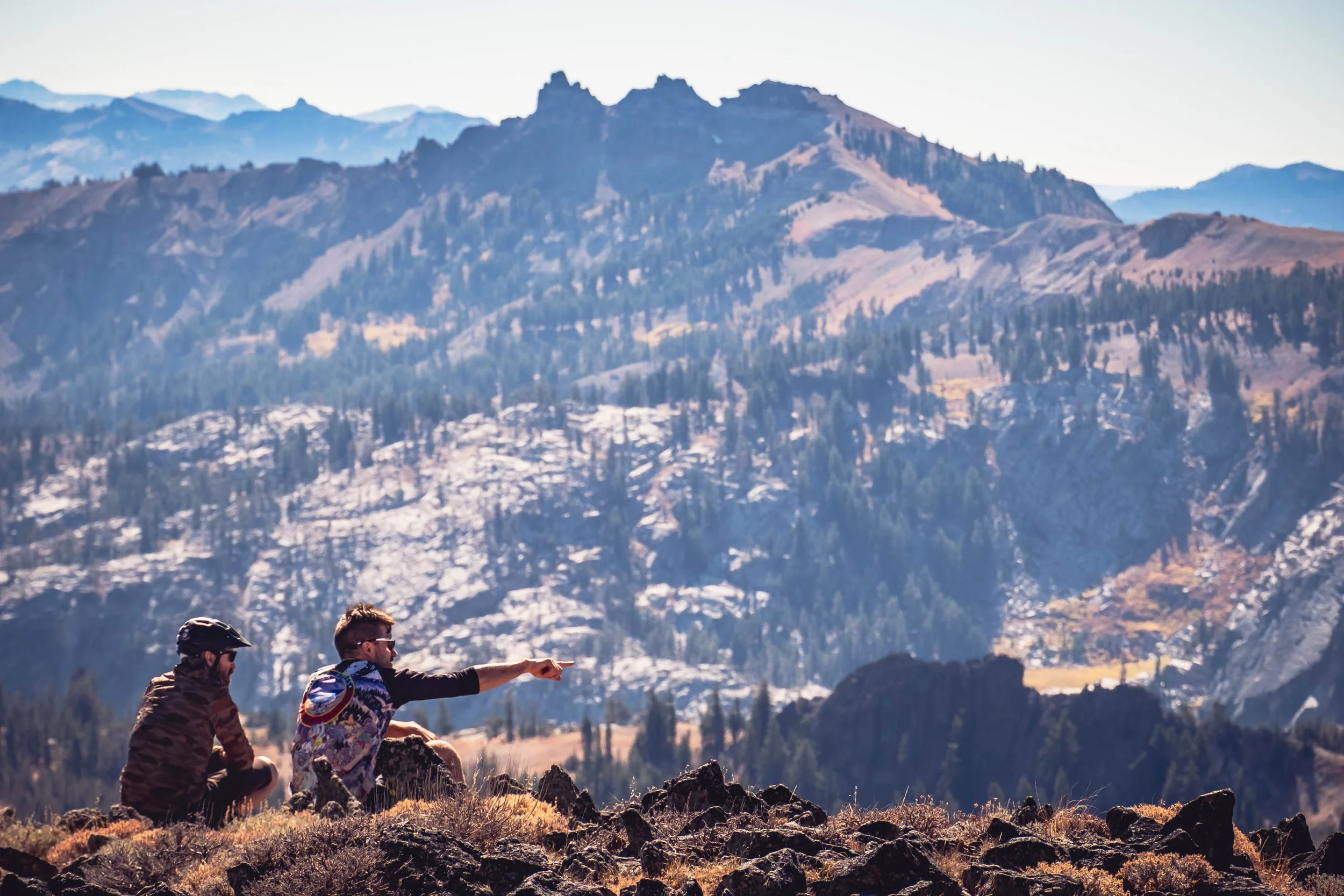
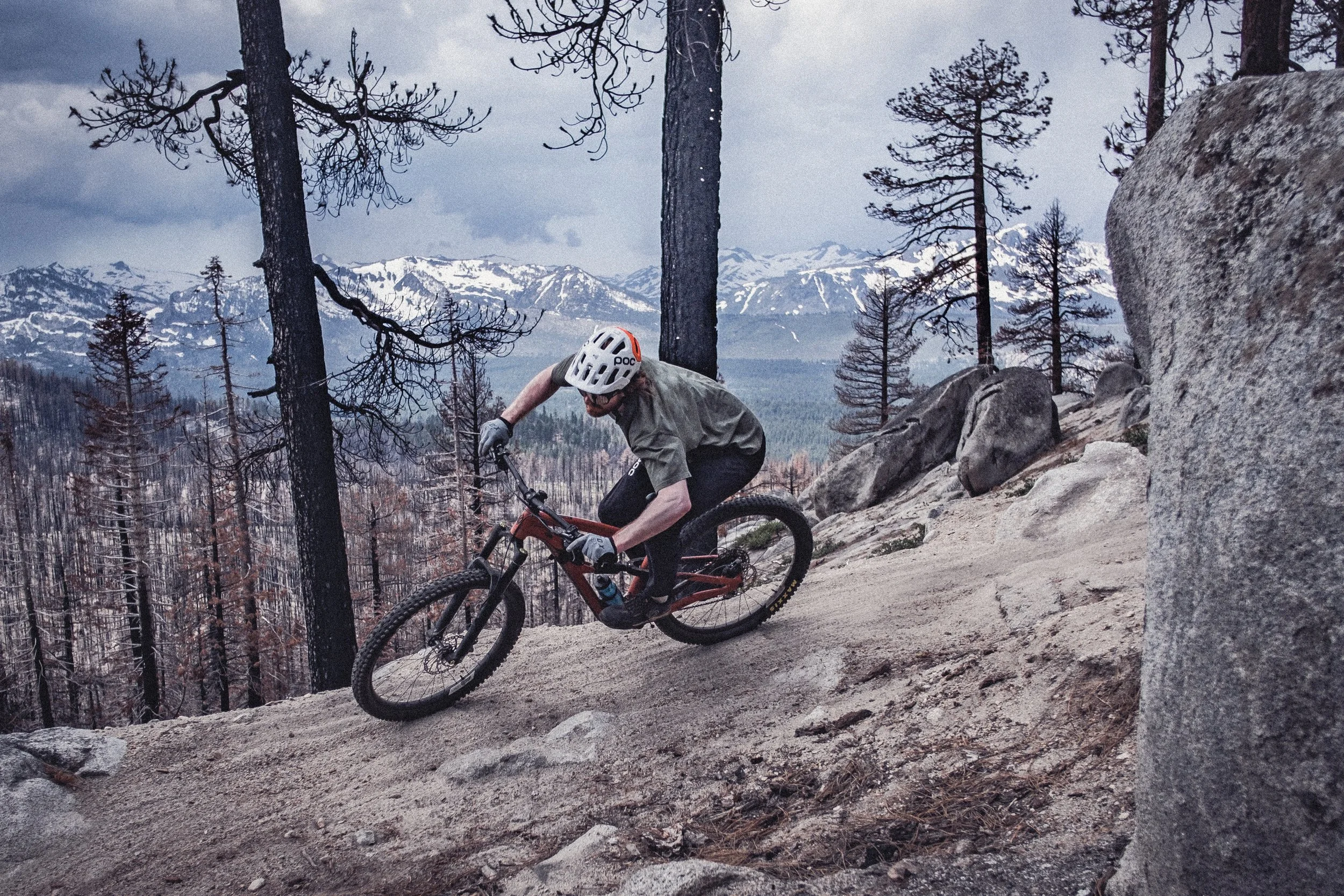
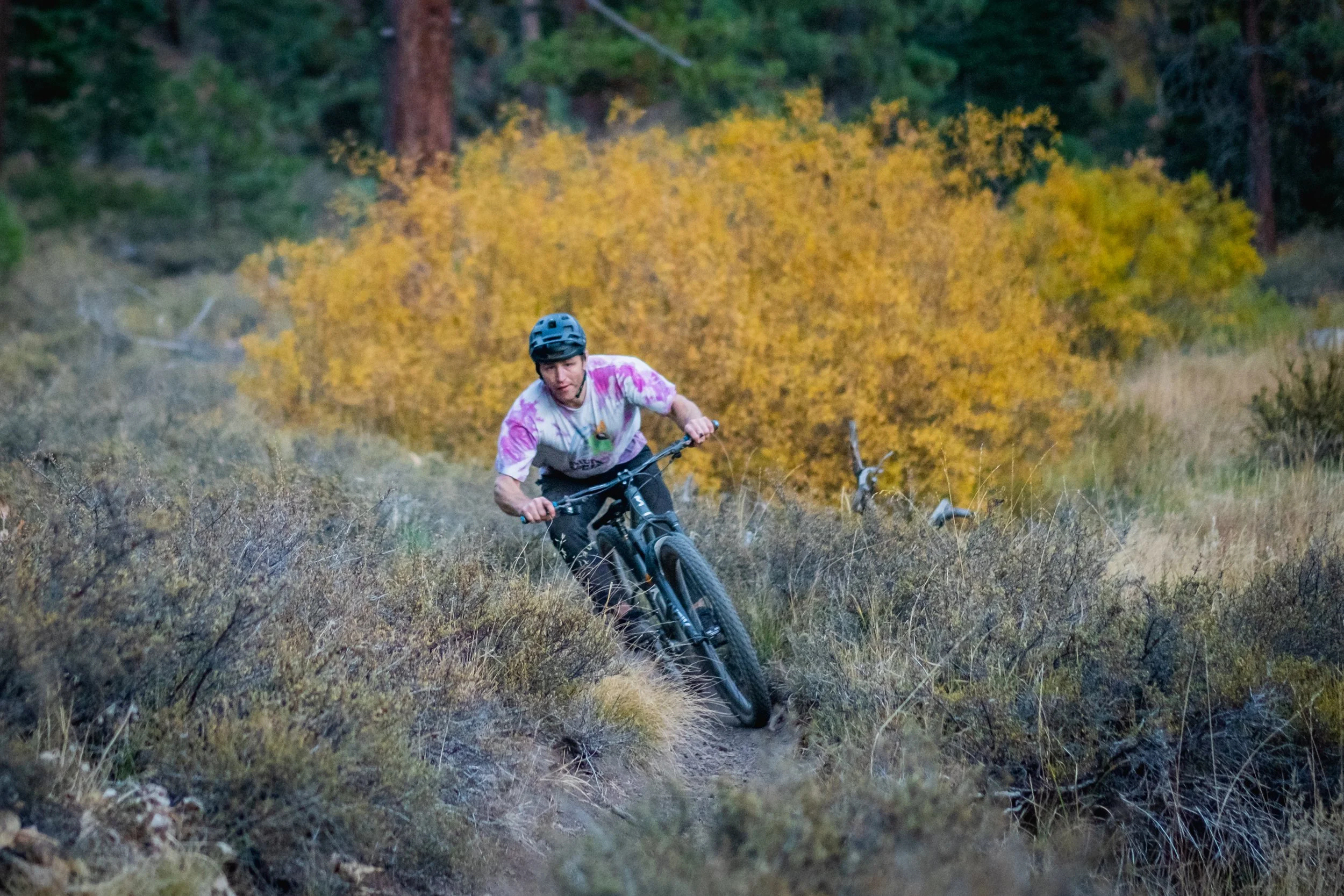
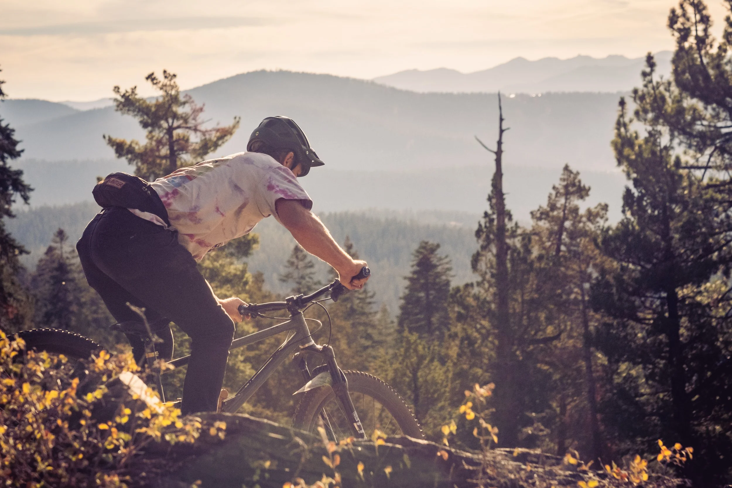
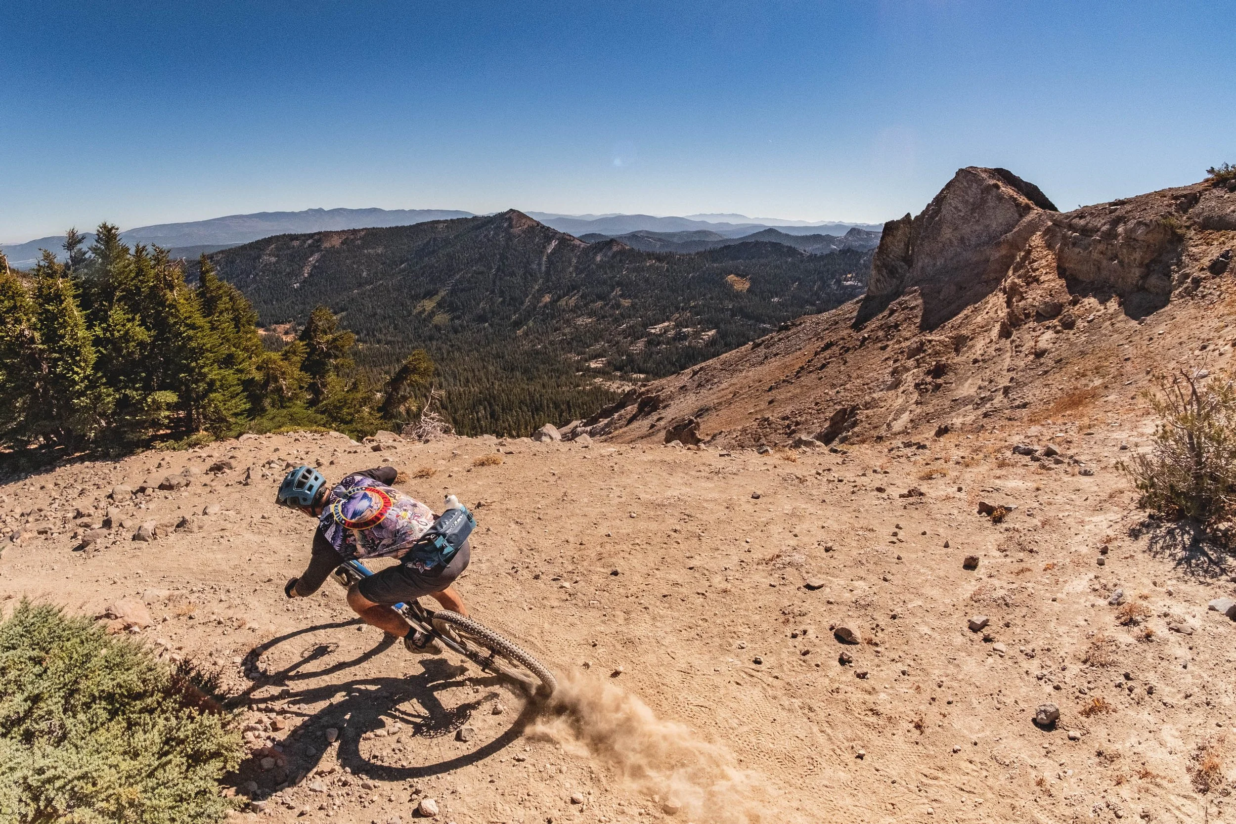
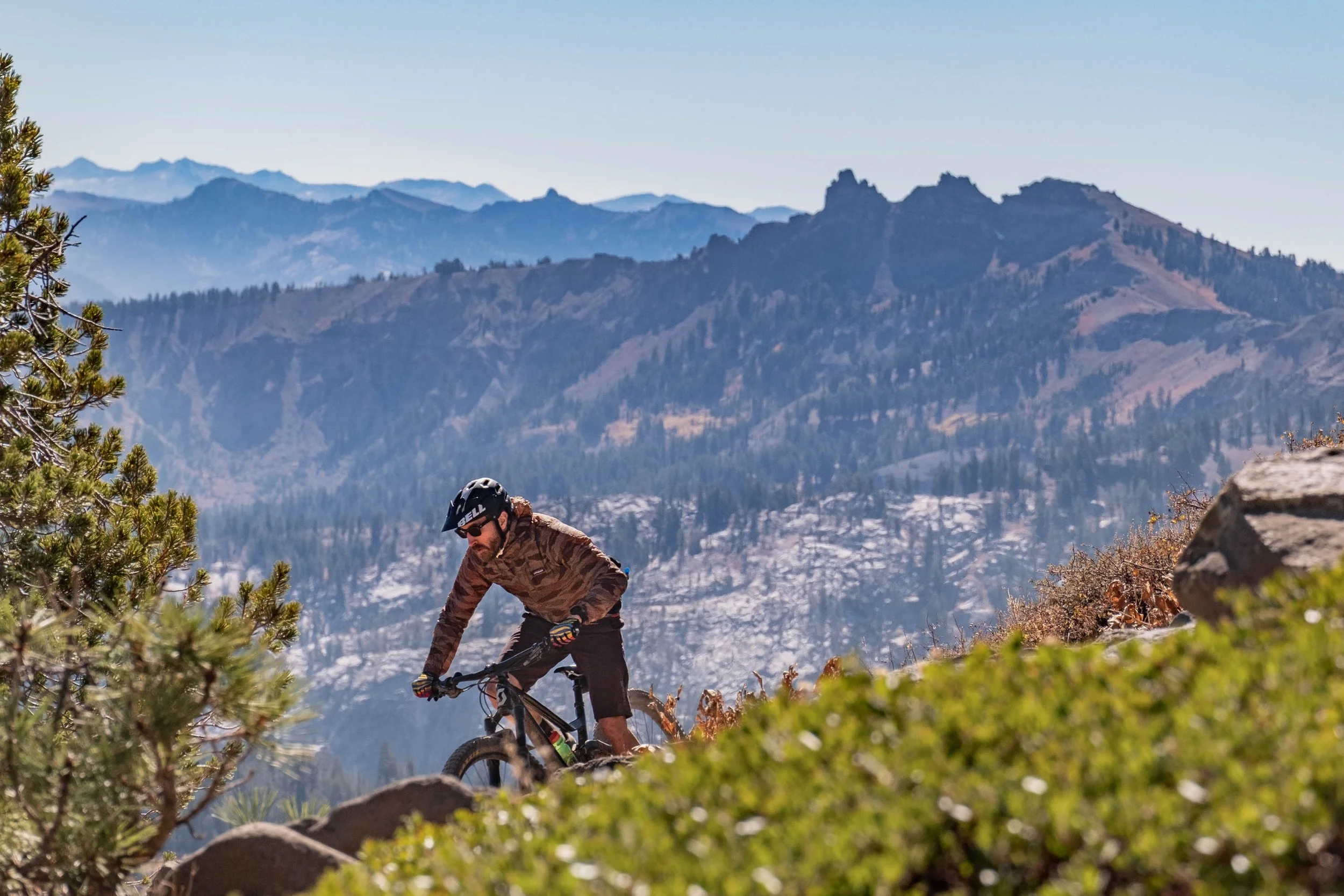
Starting on Donner Summit (the Downieville to Truckee segment will be published at a later date) you will descend into Truckee before climbing to the Tahoe Rim National Scenic Trail. As you get the first glimpses of Lake Tahoe, the trails and scenery just get better and better. After hopping town to town around the lake, you climb into “Tahoe’s Tuolumne”, a Hope, Faith, and Charity Valley’s off-the-radar high meadows beneath 11,000-foot peaks and infinite views. Much of the singletrack is raw and has remained largely unchanged since the 1800s. The final descent of the Tahoe Tier is a memorable one into Grover Hot Springs and one of California's smallest historic towns: Markleeville, with a population of 150.
Logistics
When should I ride it?
High elevation passes like Armstrong and Donner won’t melt out until June on most years and typically get snow again by late October. Smoke and fire can be a consideration during August and September, but it's hard to predict how it will affect your ride.
How do I get there?
The Tahoe Tier starts in Downieville, 2 hours north of Sacramento deep in the Lost Sierra. Markleeville does not have bus service but is easily accessible by road from South Lake Tahoe and the Carson Valley.
Is this route for me?
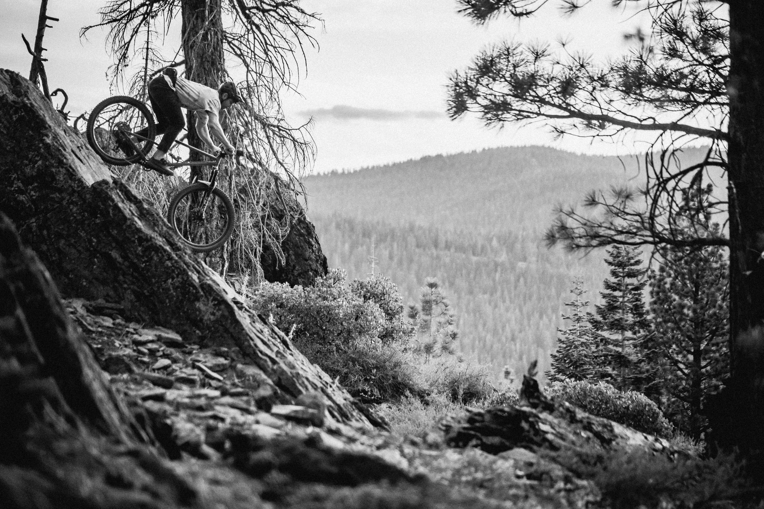
If you're looking for singletrack and massive views, this is the route for you. There is not much hike-a-bike, but there are many steep and technical climbs. Every day, you earn your miles. If you're not accustomed to technical terrain, especially with a bikepacking rig, this is a challenging introduction.
What bike should I ride?
You will have the most fun on a dual suspension bike with 2”+ tires. Low or mid travel is ideal for most sections, though bigger travel bikes will make some sections a lot more fun. Luckily there are bike shops every 30-40 miles. The most important thing is that your bike is in good working order and it’s comfortable for you. You don’t want your body or your steed to break down and leave you stranded.
Navigation
Navigation is mostly straightforward but there are a few complex intersections where it is easy to get lost. Have your bike computer or app dialed. There is cell service on 80% of the route but we always recommend downloading key tracks and basemaps. The Ride With GPS Ambassador Route map shown here is accurate and the best way to navigate this route. Download the Ride With GPS app on your phone and learn how to save routes for use without a cell signal. You can also export the GPS file to another device from the Ride With GPS website.
Make sure you are confident in your navigation skills before venturing out, and that your mapping apps have downloaded data for offline use.
Camping
Dispersed camping is available in most places and there are many places to stop and stay at a motel. Most trailheads do not allow camping. The Tahoe Rim Trail has specific camping requirements here.
Water
You cross streams every 5-15 miles for most of the route. Have your water filter handy. Very few of the trailheads offer any water.
Be Considerate
You’re sharing these lands with many others. Please ride single file on roads and yield to other users along the trail. You’ll be surprised by who you’ll meet and what you’ll learn with a friendly ‘Hello.’ Practice the Leave no Trace principles and tread lightly where you ride and camp.
Highlights
Starting in Downieville; one of the most historic West Coast towns, both for the Gold Rush and the Singletrack Rush led by Sierra Buttes
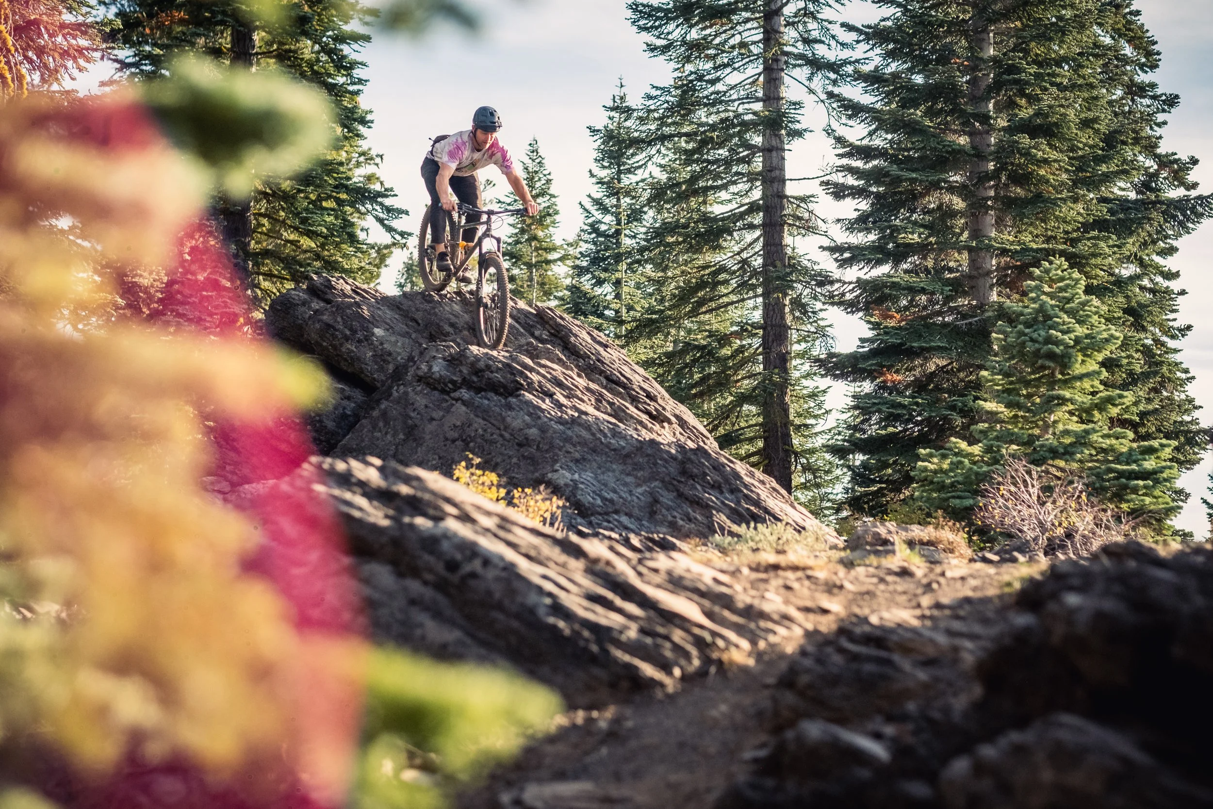
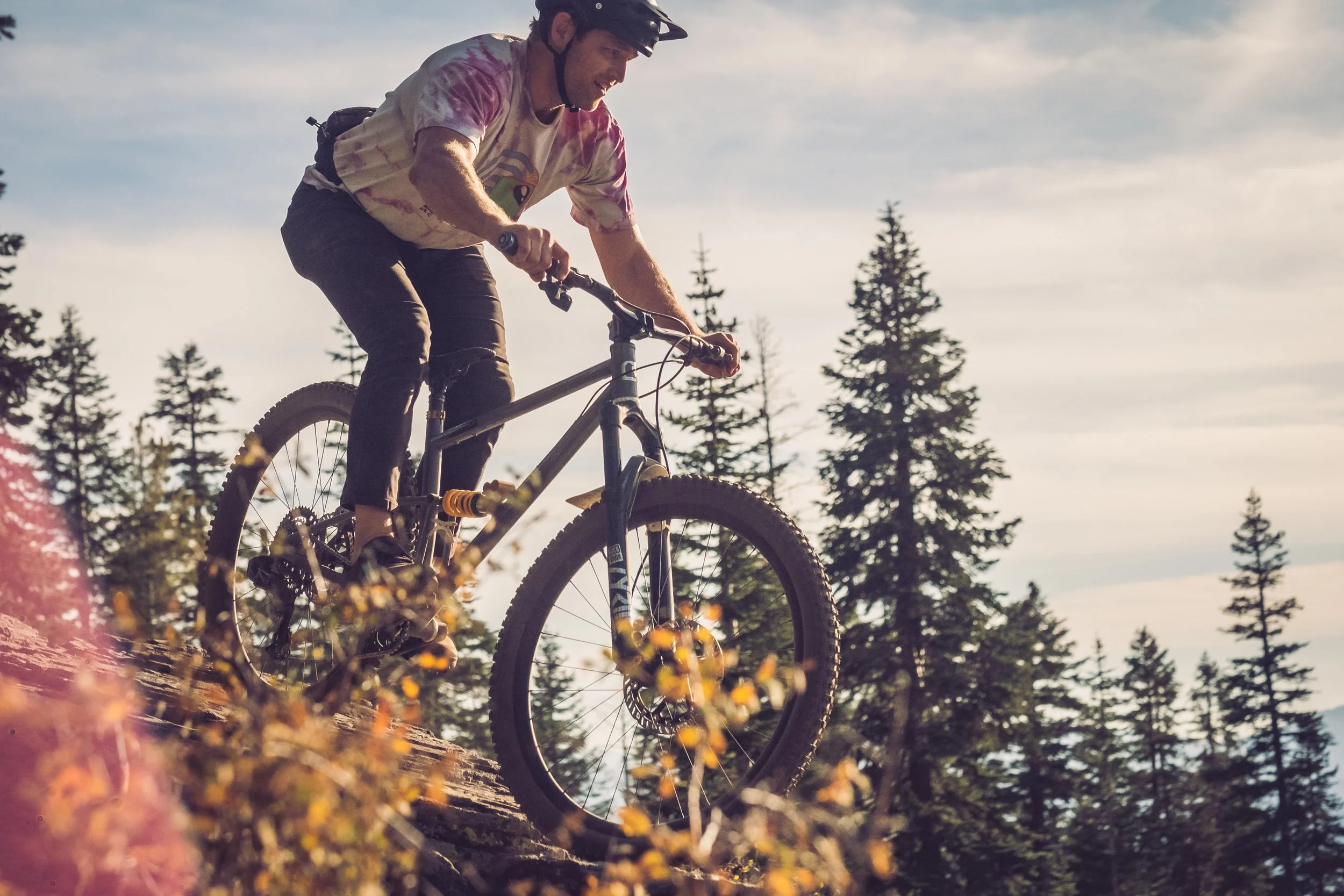
60+% singletrack, often purpose built for MTB, from Truckee and around Lake Tahoe with big views and frequent spots to grab a meal, beer, or bed.
Frequent alpine meadows and remote creeks between Tahoe and Bridgeport on trails few people ever travel
California’s Camino
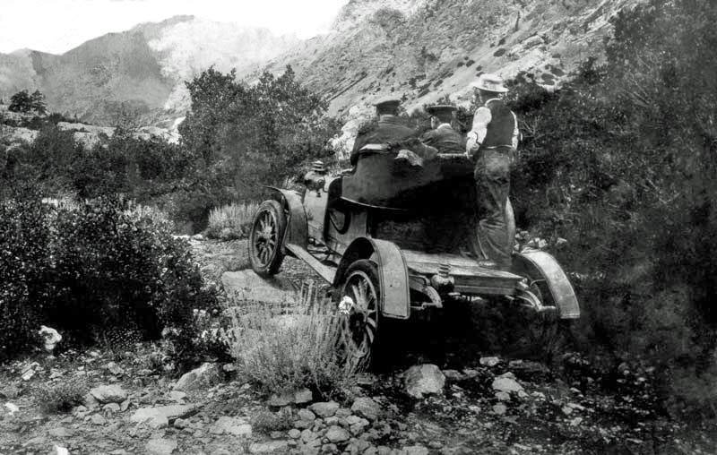
El Camino de la Sierra was a historic travel route running along the eastern edge of California’s Sierra Nevada, used by Indigenous peoples, miners, and settlers in the 19th century. It later evolved into a rough road system connecting remote mountain communities, and the name was eventually changed to Highway 395. There are three great books on this route.
Do
Carry a fast-access water filter and be ready to swim: streams and lakes are abound
Consider going light and fast and credit card camping: with some logistical help, it's possible to ride the trail without bikepacking gear
Don’t
Don’t ride a hardtail, you’ll be a lot happier on full suspension.
Don’t overpack. There are a lot of singletrack and technical sections.


The trails along the Tahoe Tier are stewarded by Sierra Butte Trail Stewardship, Truckee Trails Foundation, Truckee Dirt Union, Tahoe Rim Association, Tahoe Area Mountain Biking Association, and Alpine Trails Association.
Consider joining them for a trail maintenance event or donating to their organization.