
Jawbone: Gateway to the Southern Sierra
For the most part, Orogenesis has been designed within a contiguous swath of public lands that loosely follow the mountain ranges that give Orogenesis its name. But several large swaths of private land present problems—the Mojave Desert, the Paiute Range, and the Tehachapi Mountains make up one of these.
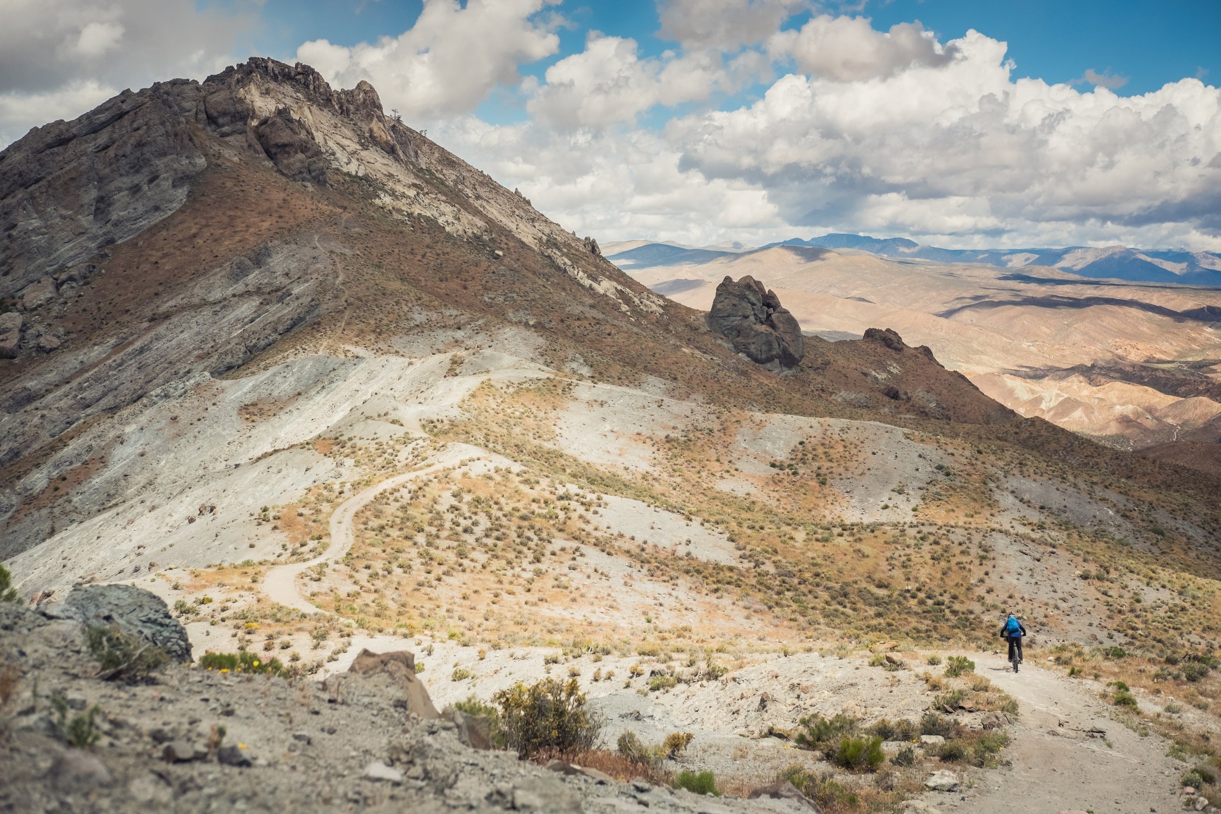
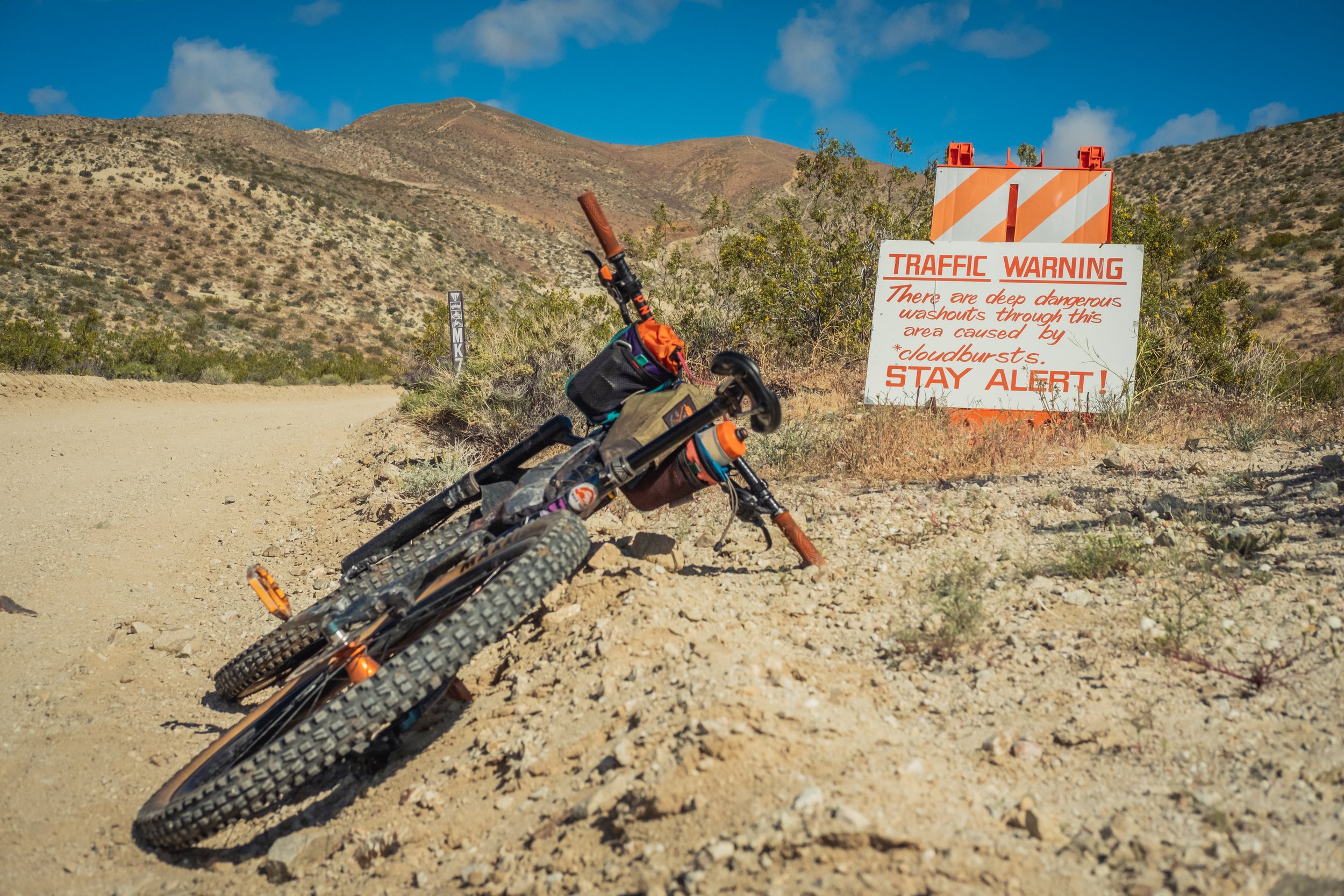
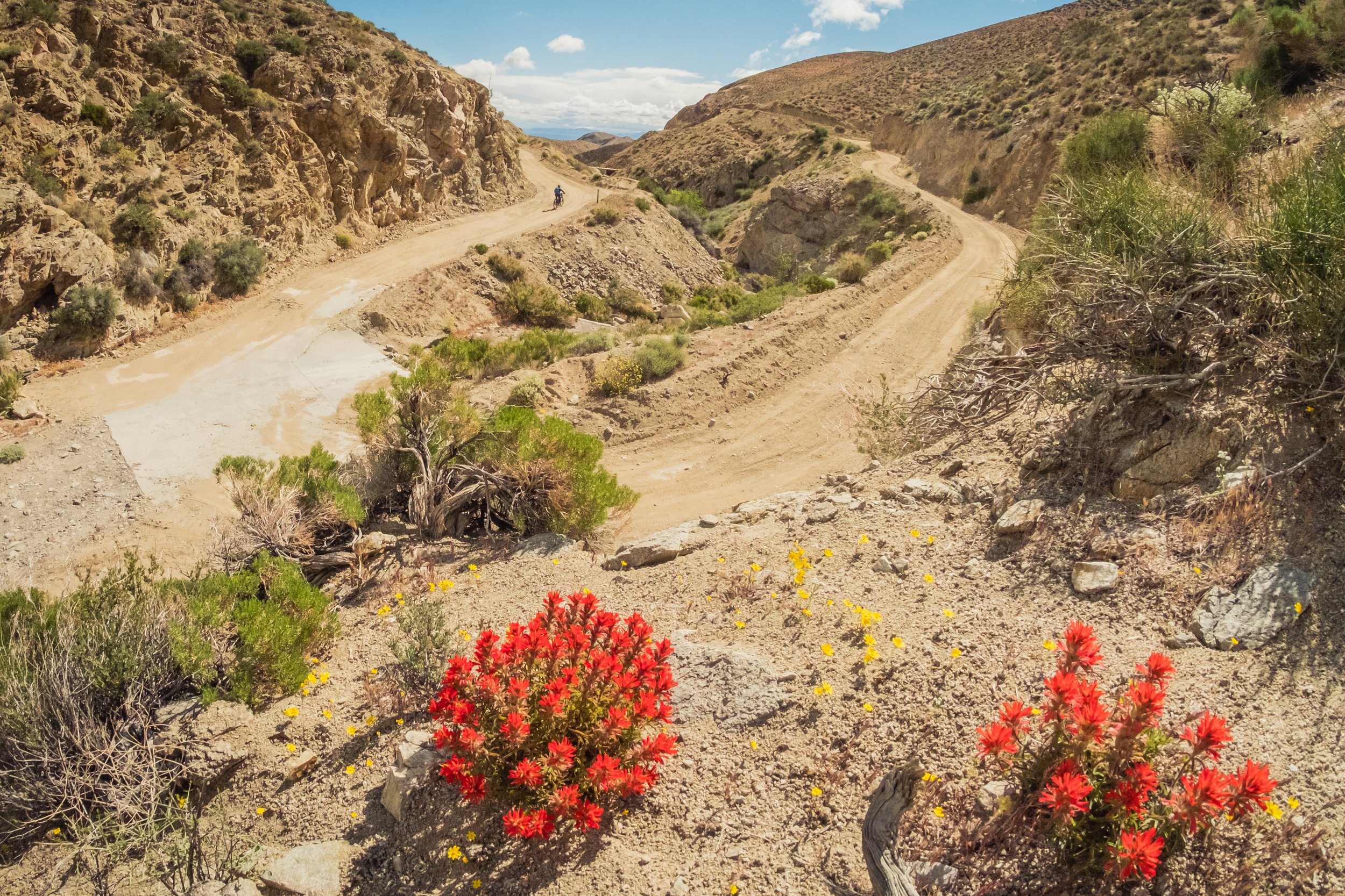
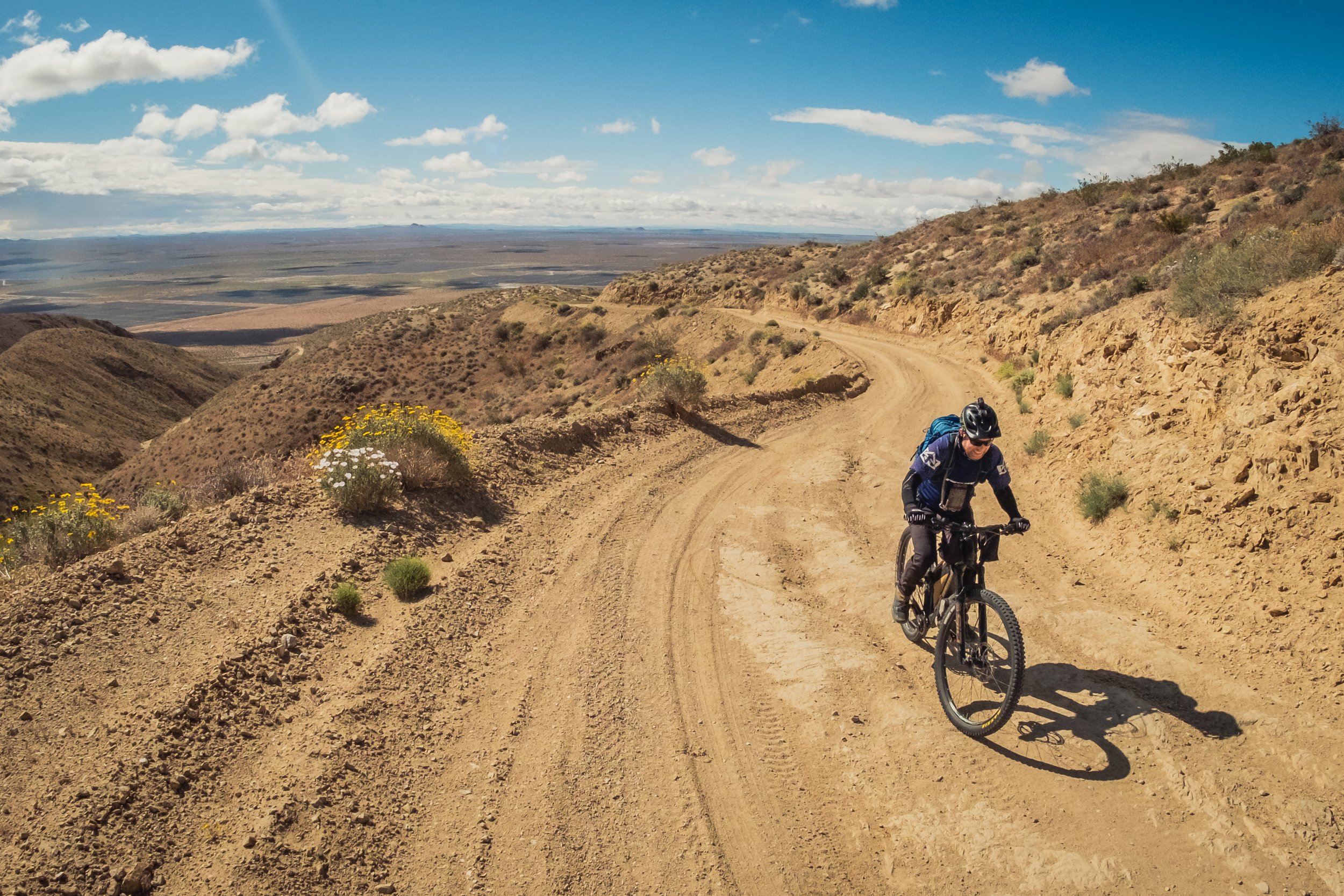
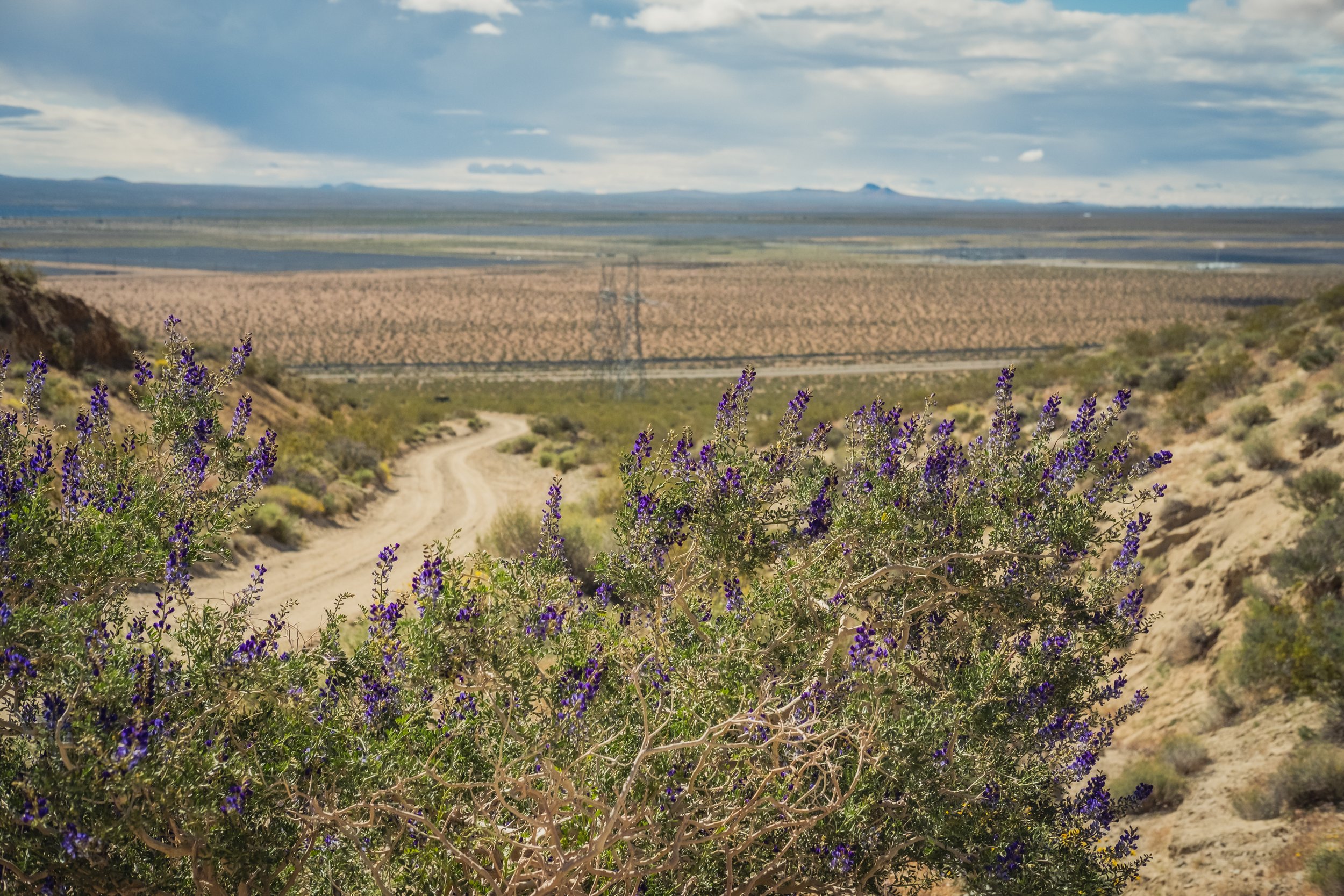
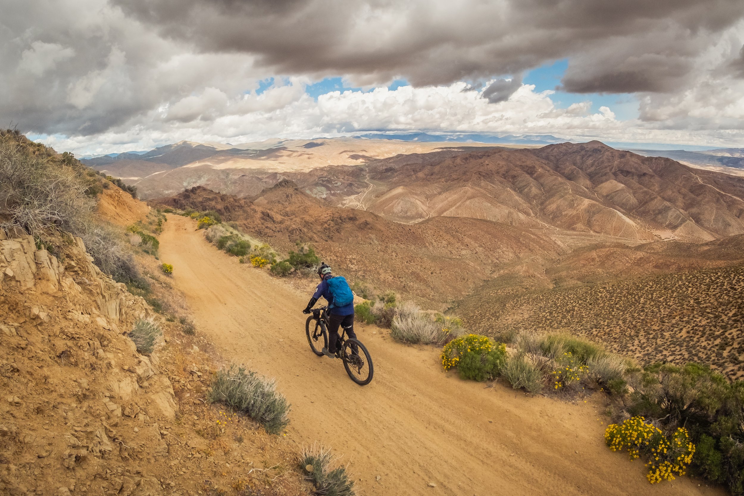
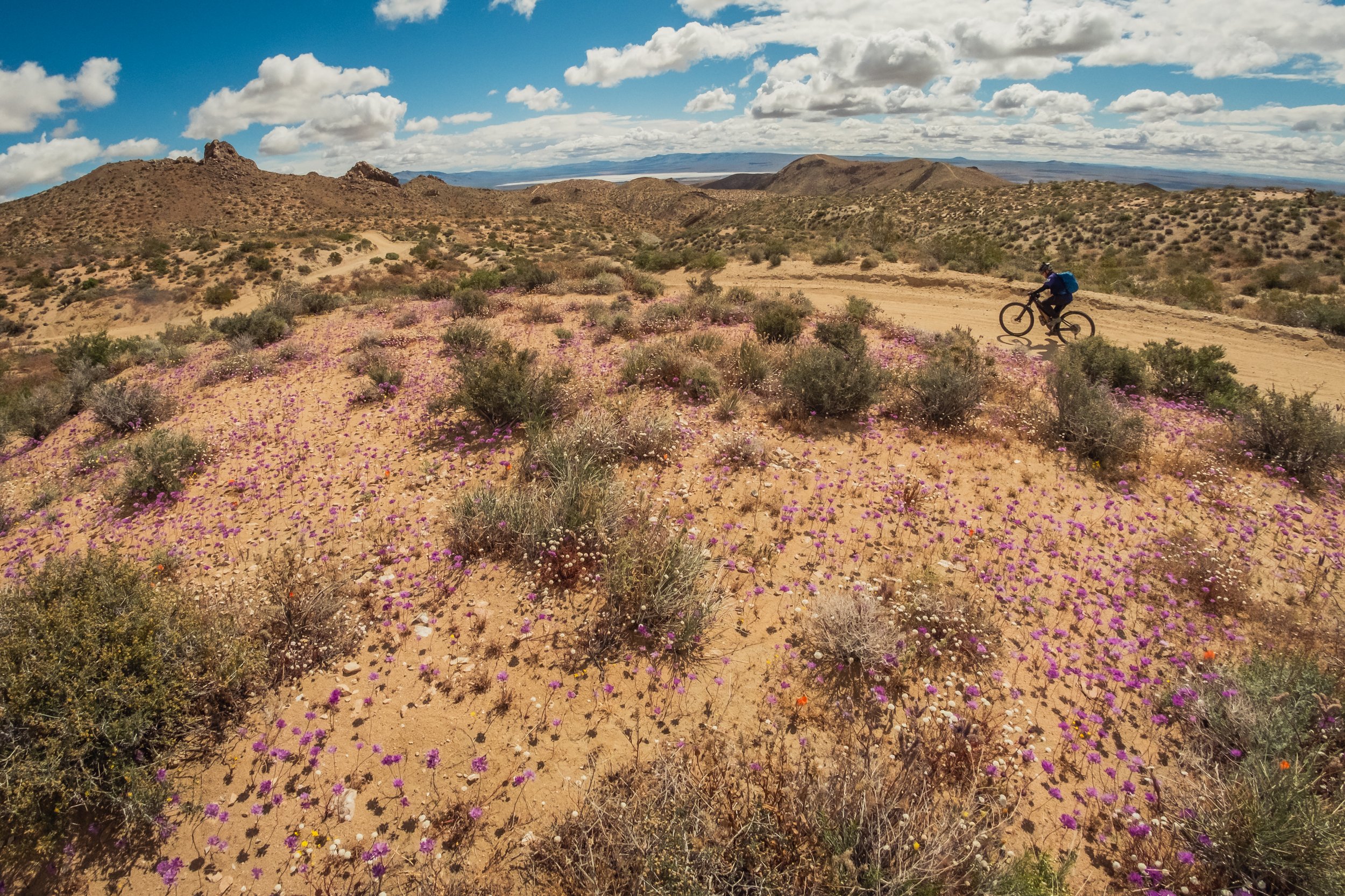
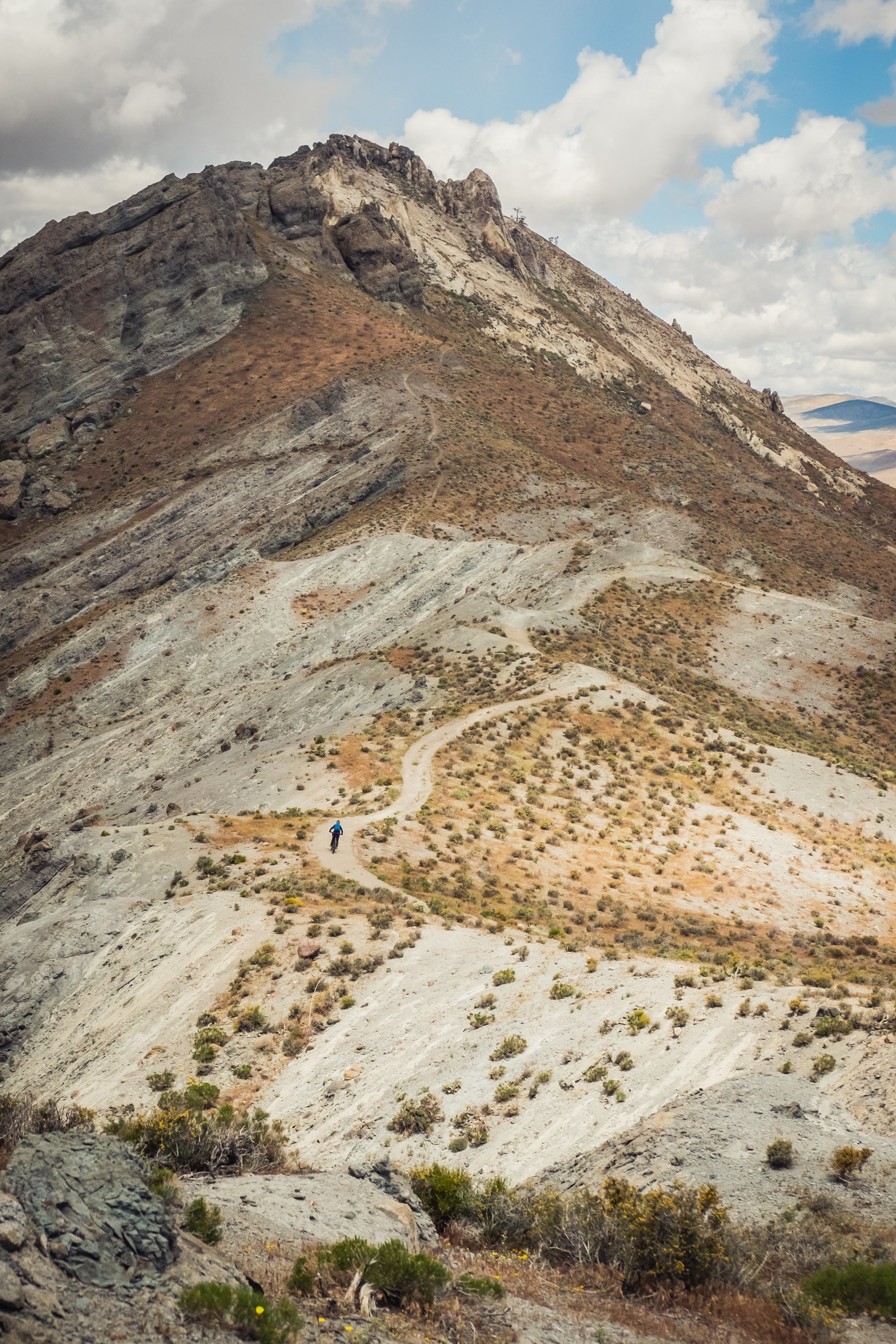
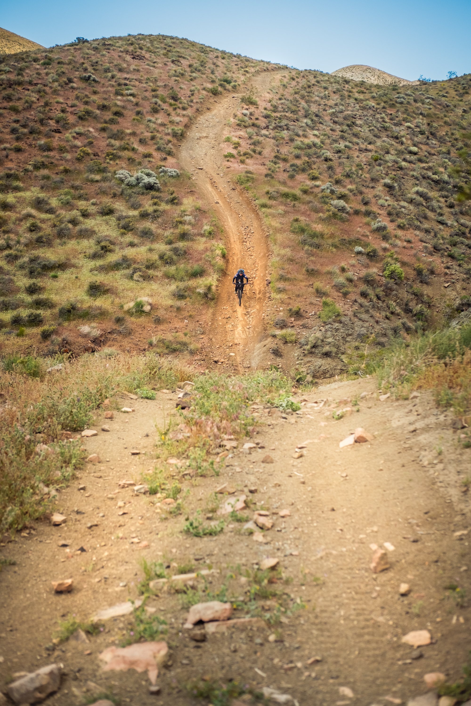
Having explored many options on the ground, on satellite imagery, land ownership layers, and street view Evan Sollberger finally suggested one option that was farther north than I really wanted: Jawbone Canyon. This would mean a longer grind along the hot, flat, shadeless aqueduct… was it worth it? Hopefully these photos answer that question for you. The lower hills of Jawbone Canyon are overrun with OHV traffic; but higher up the rocks change colors, the people vanish, and the views all-encompassing. This approach adds a few thousand feet of climbing, but after the ridiculous elevation gain of Anillo de Los Angeles and the flat aqueduct doldrums, you’ll barely notice.
Home of the Kawaiisu people.