
Ride of the Month: Lost Sierra Bikepacking Route
This is our first Ride of the Month—a series where we feature backcountry mountain bike adventures or multi-day bikepacking trips along Orogenesis. If you want to scout and contribute drop us a line.
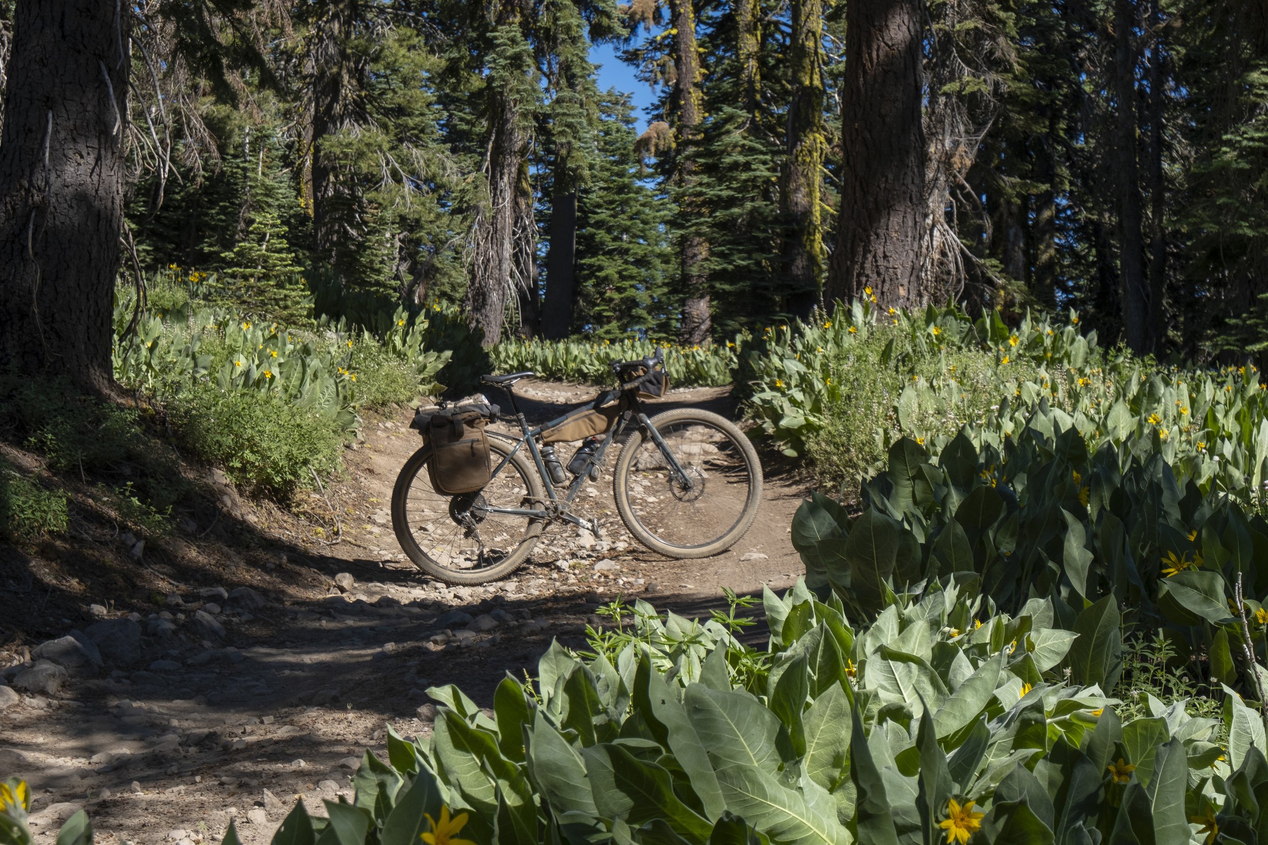

Ride Stats
Starts and ends in Truckee CA
250 Miles
5 Days
25,000 Elevation Gain
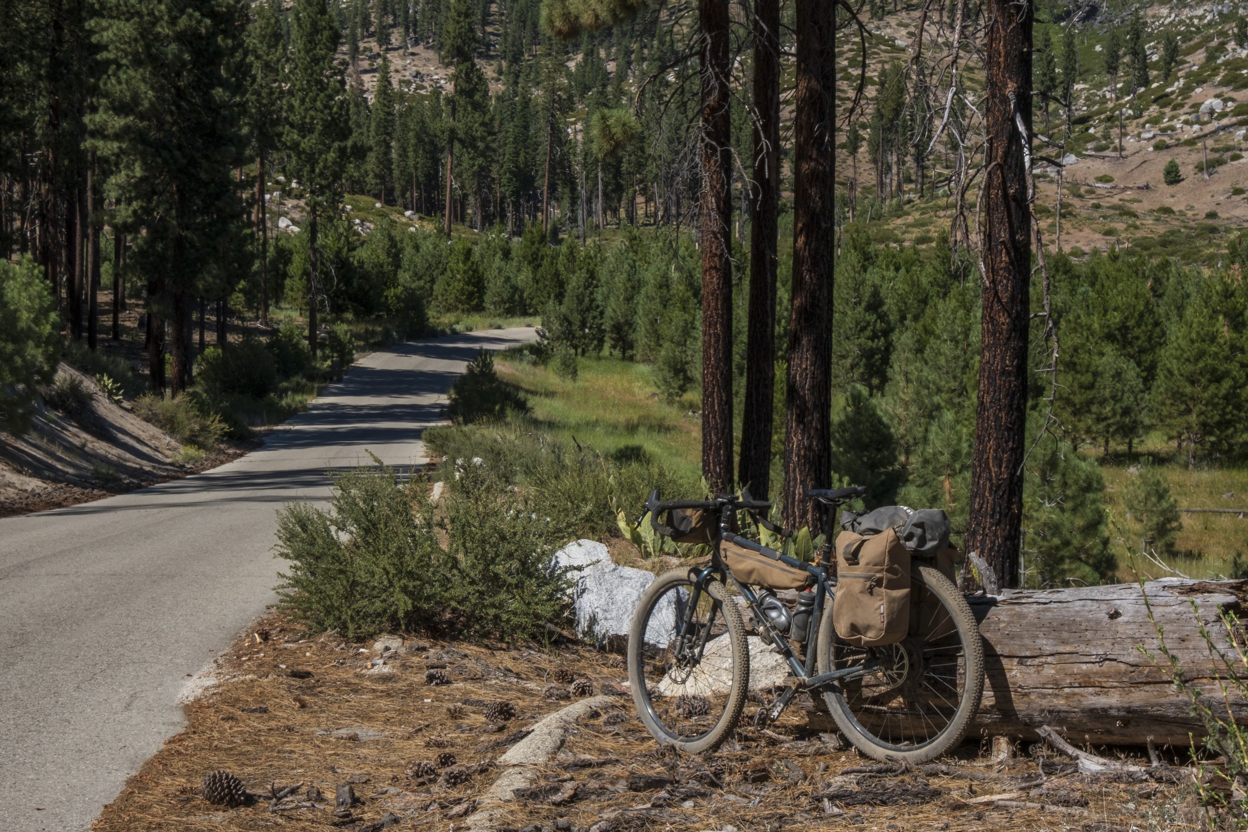
40 % Paved* 60 % unpaved - see description on *paved roads
Singletrack is optional, the route follows a few very popular trails
96% Rideable
Physical difficulty 6
Technical difficulty 4
June - Sept
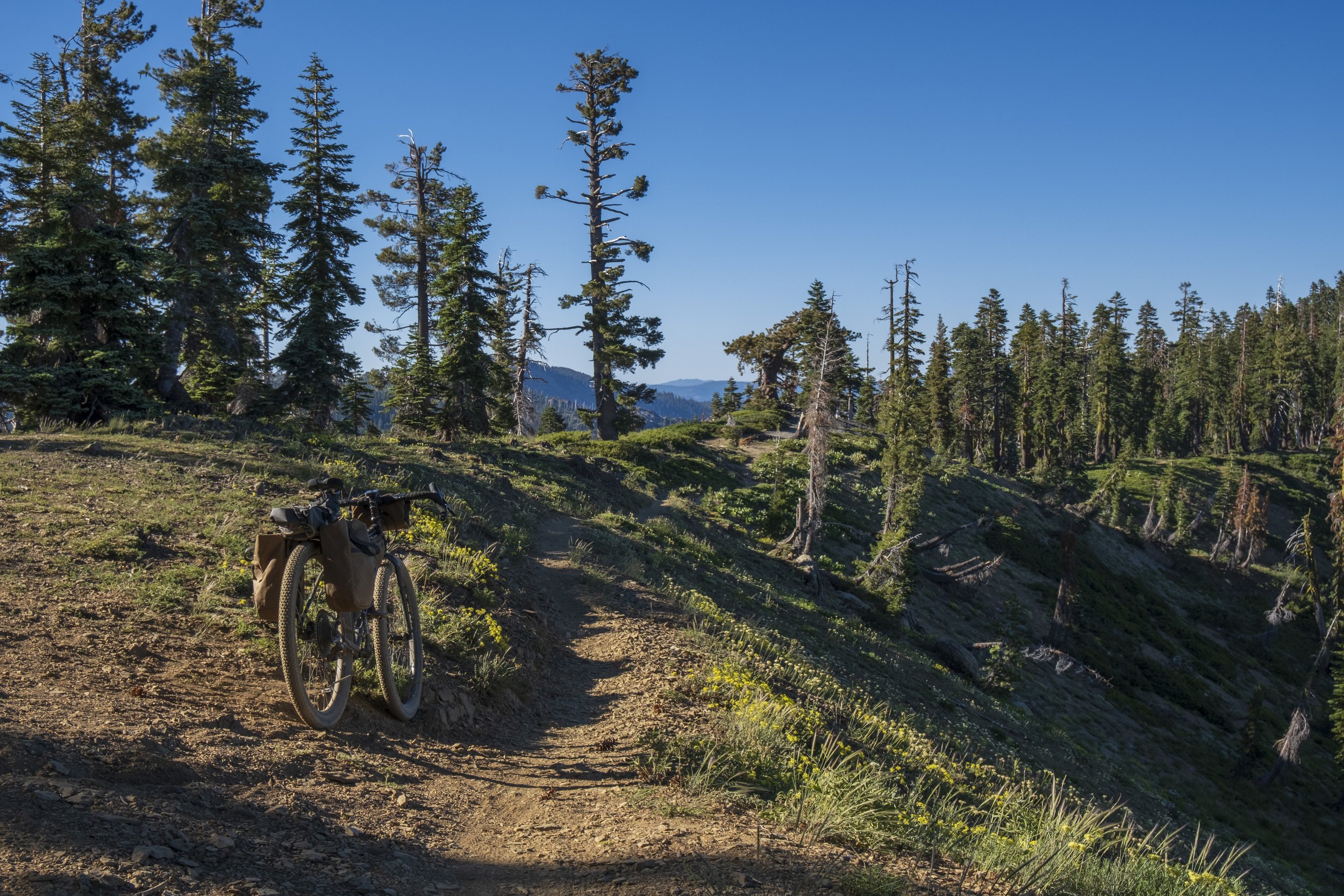
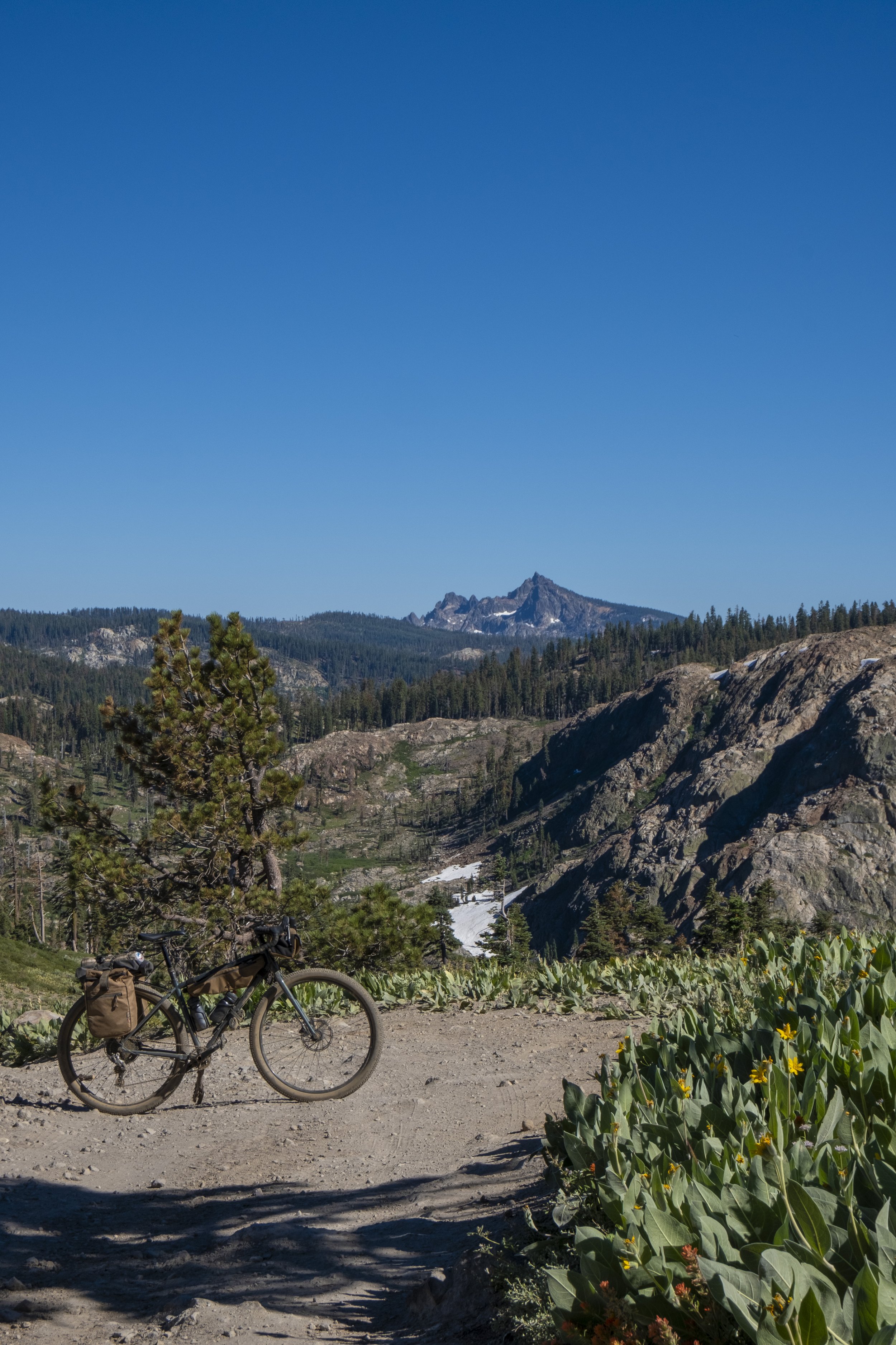
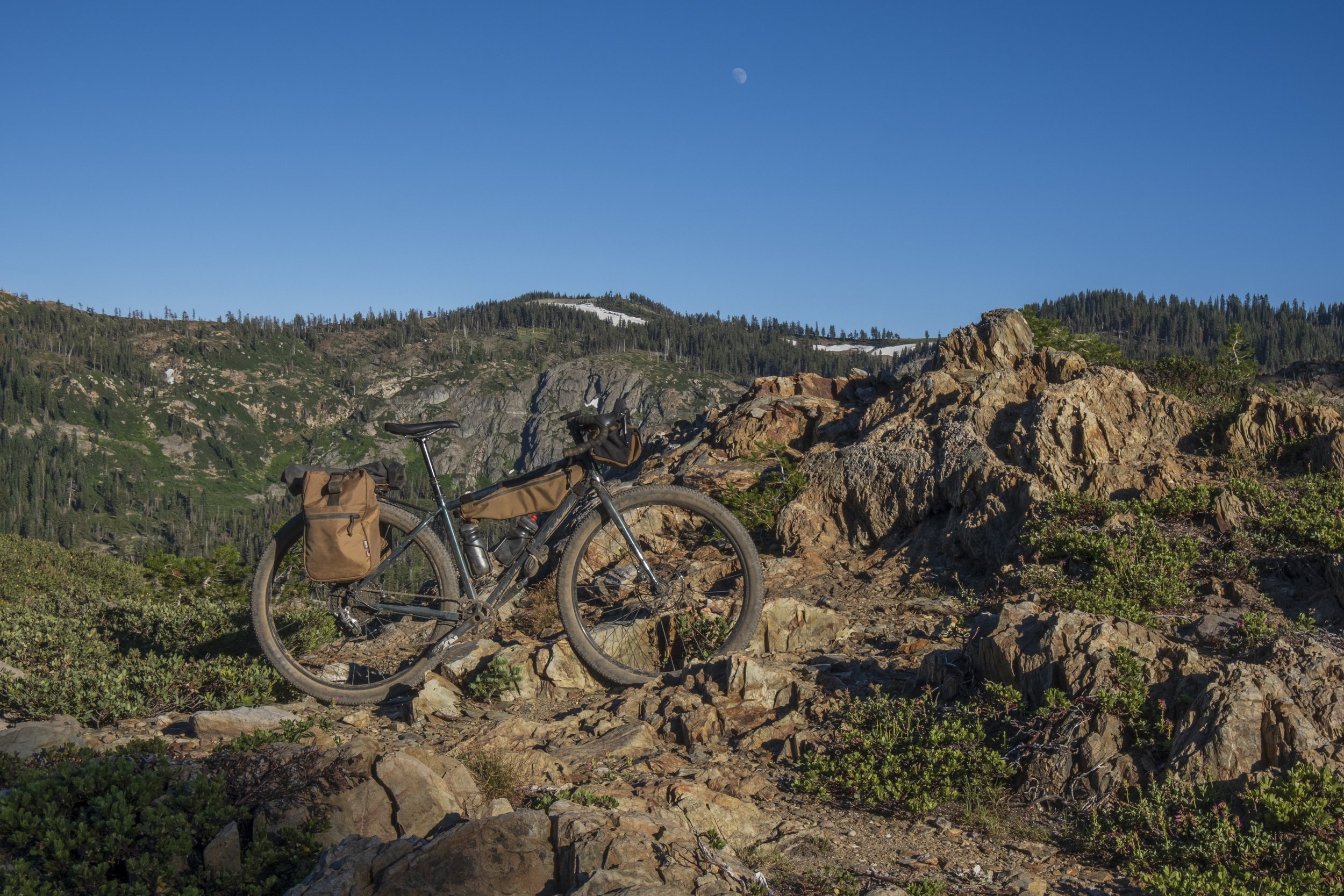
Packersaddle is the highest point 7350 feet with an option to ride up to the lookout at ~ 8200 feet.
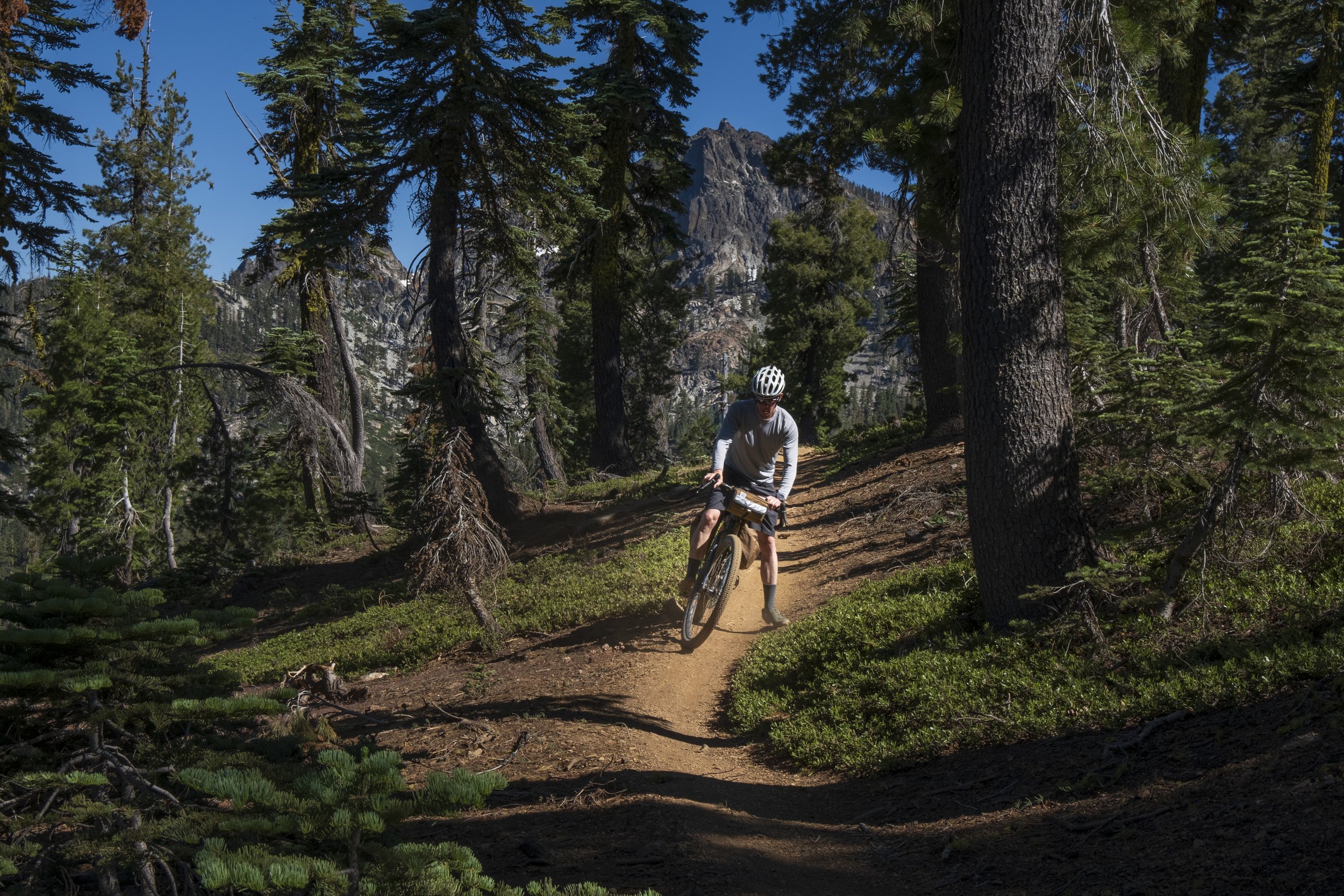
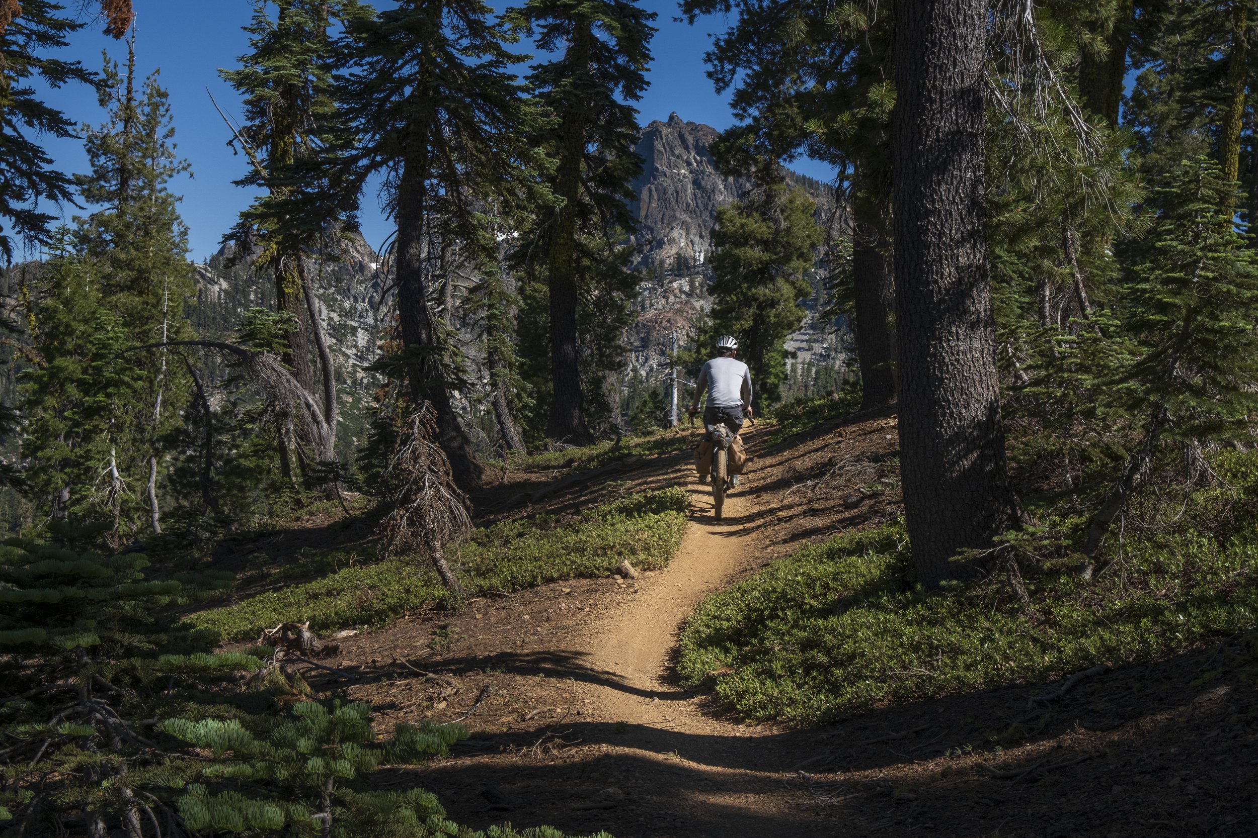
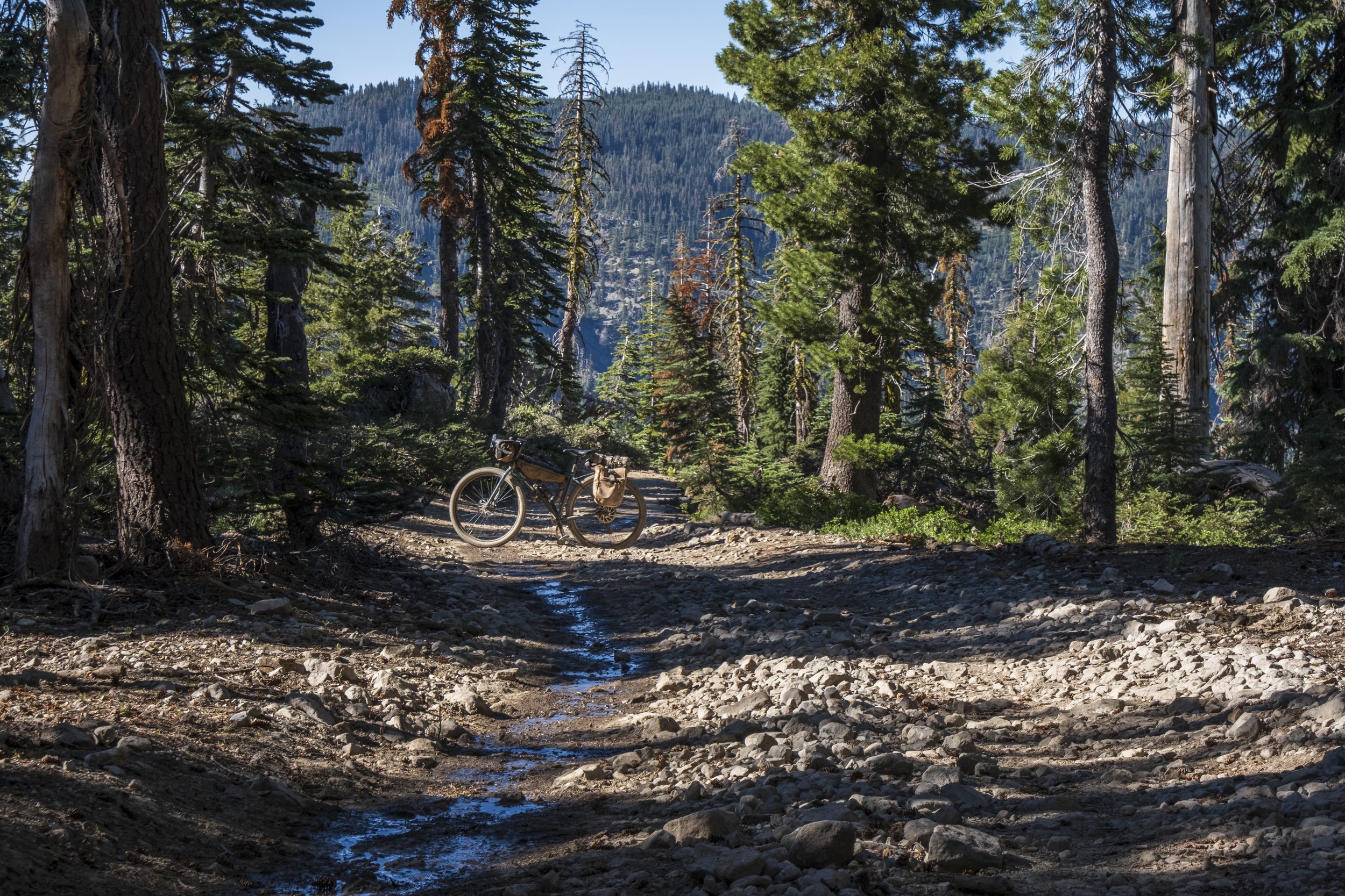
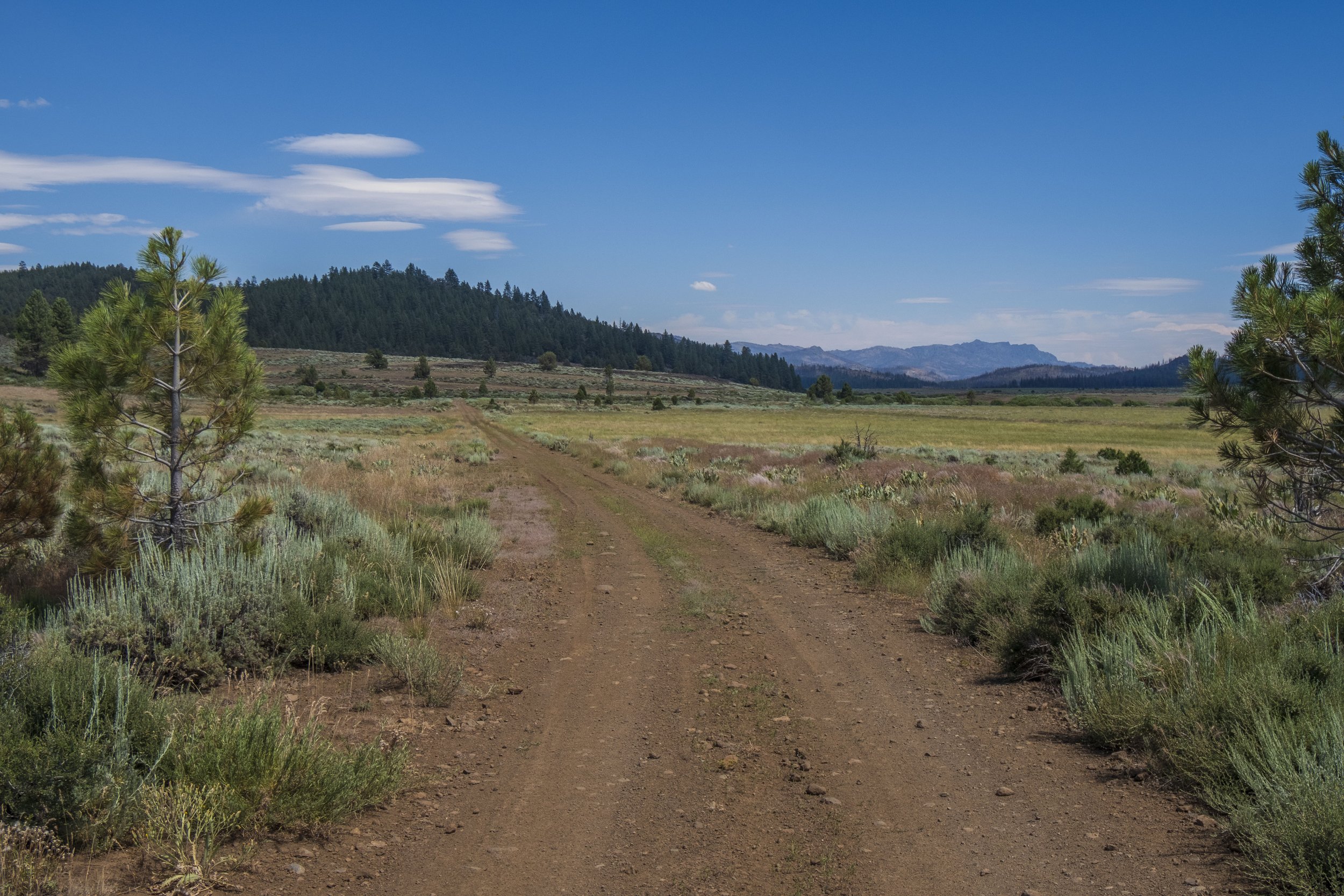
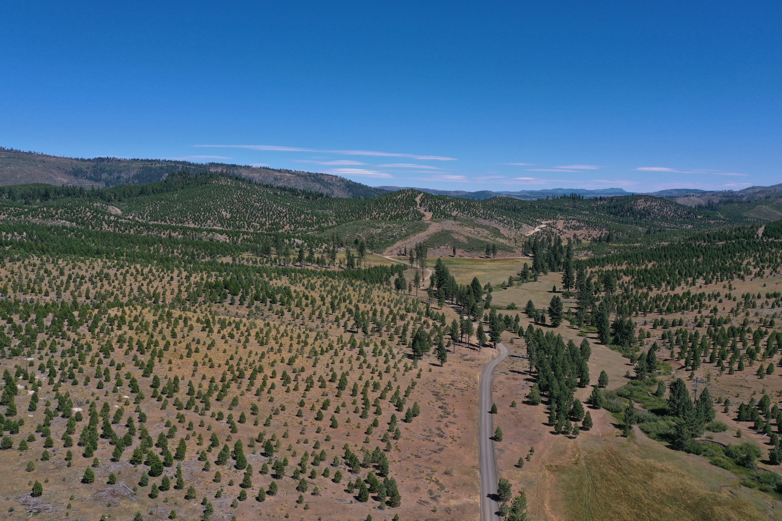
The Lost Sierra Route is a 250-mile gravel bikepacking loop starting and ending in Truckee CA. The route dives straight into the backcountry of the Lost Sierra Region, known for its rugged landscape and gold rush history. Combining Tahoe, Sierra, and Plumas National Forests, the diversity of this route is deep in history, and beauty and filled with surprises and challenges! The route travels to the Northernmost edge of Sierra Nevada and back to the famous town of Truckee, just north of Lake Tahoe. The route is rugged, remote, challenging, and awe-inspiring but very doable logistically with plenty of camping, resupplies, and water along the route.
From 7500-foot mountain passes to low-lying river canyons, high plains valleys, and historic gold rush-era towns for resupplies, this route has an endless array of twists and turns to keep you visually in awe and inspired to pedal on.
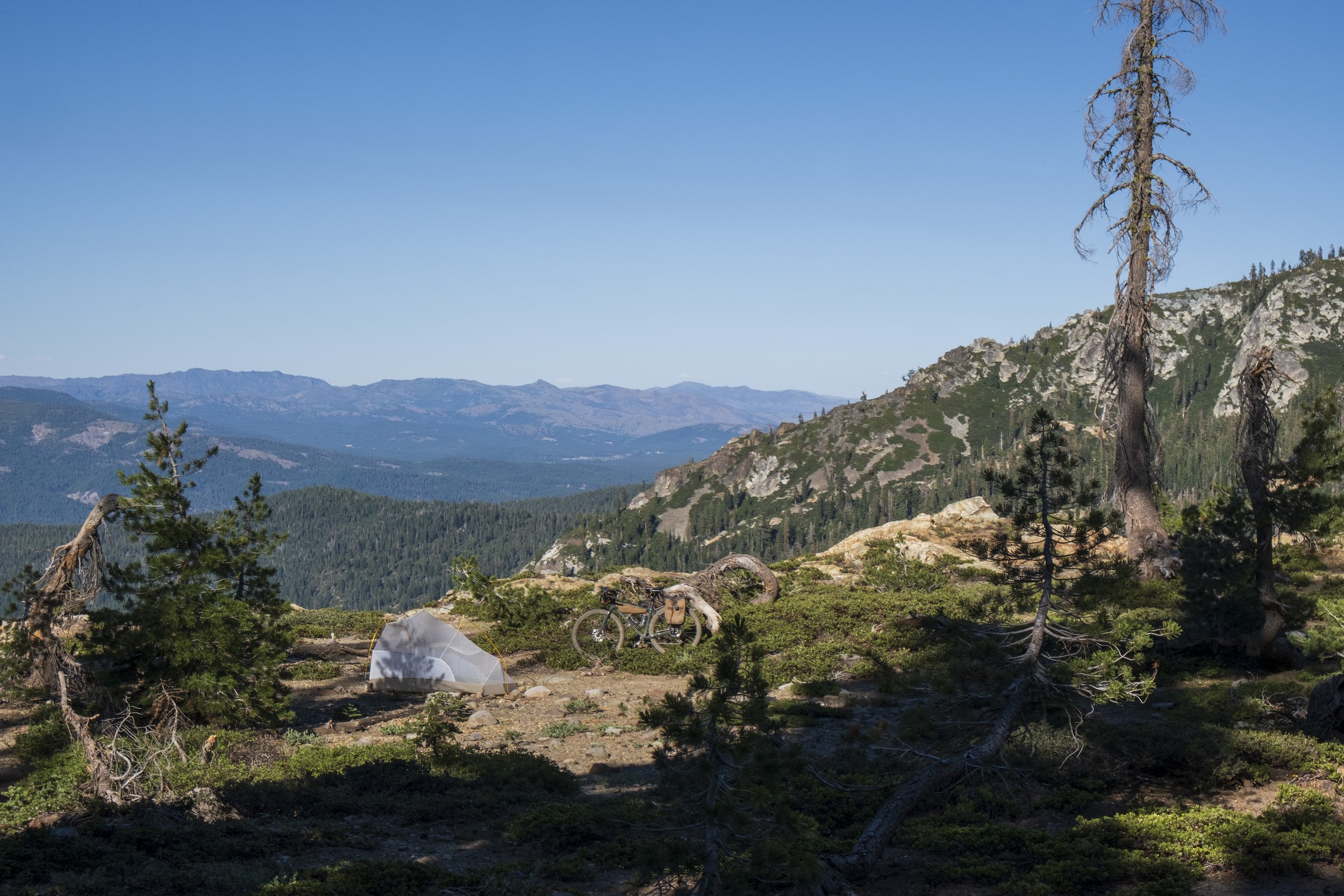
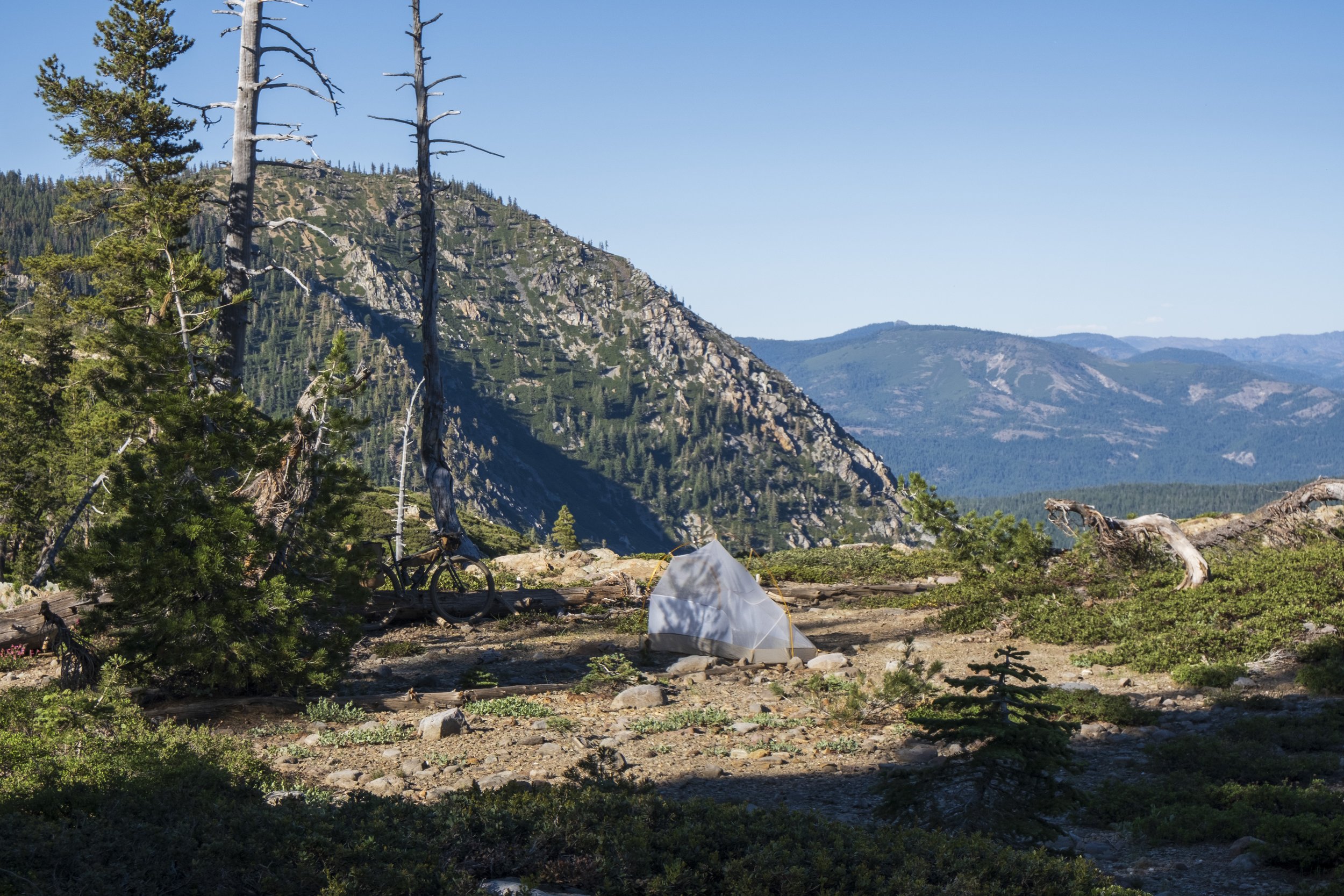
The route is best broken up into 5 days, with about 60 miles and 6000k of vert per day. There is unlimited dispersed camping in the National Forests, plenty of developed campgrounds, a few hotels, and ample resupply locations as you wind your way in and out of the backcountry dayily into small long forgotten towns.

The Route Features...
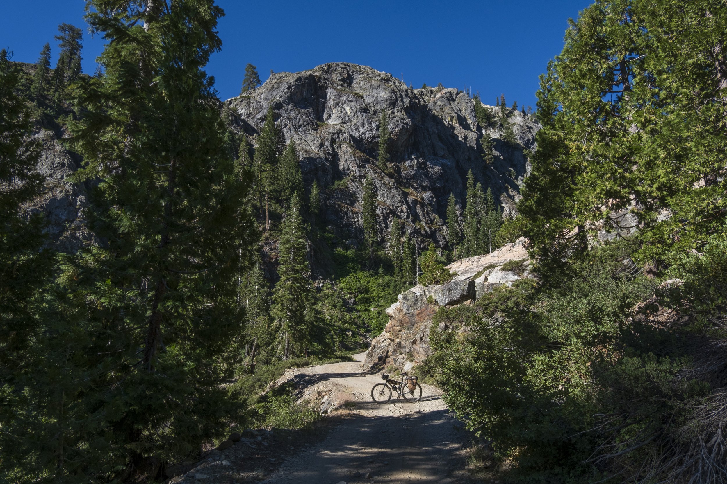
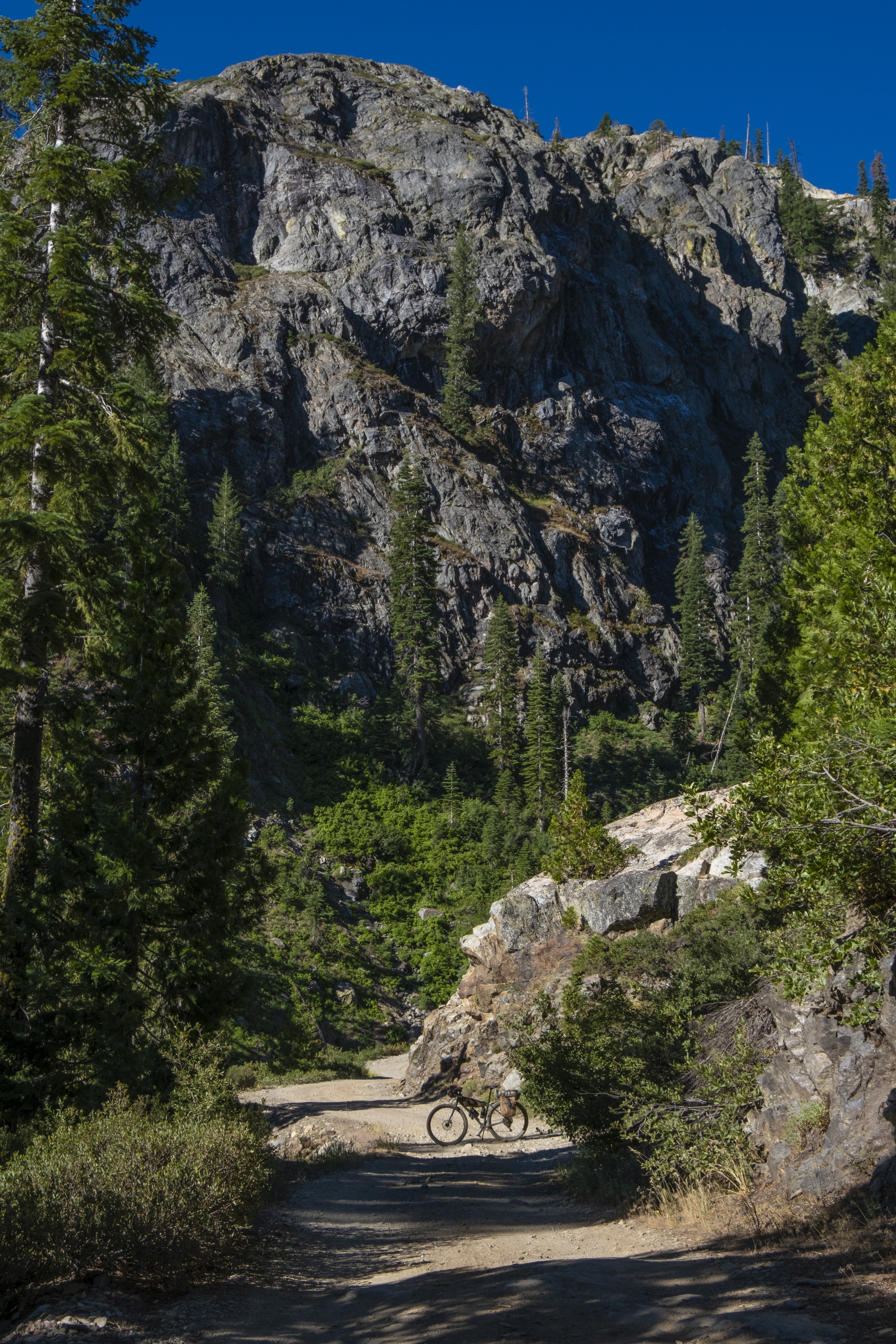
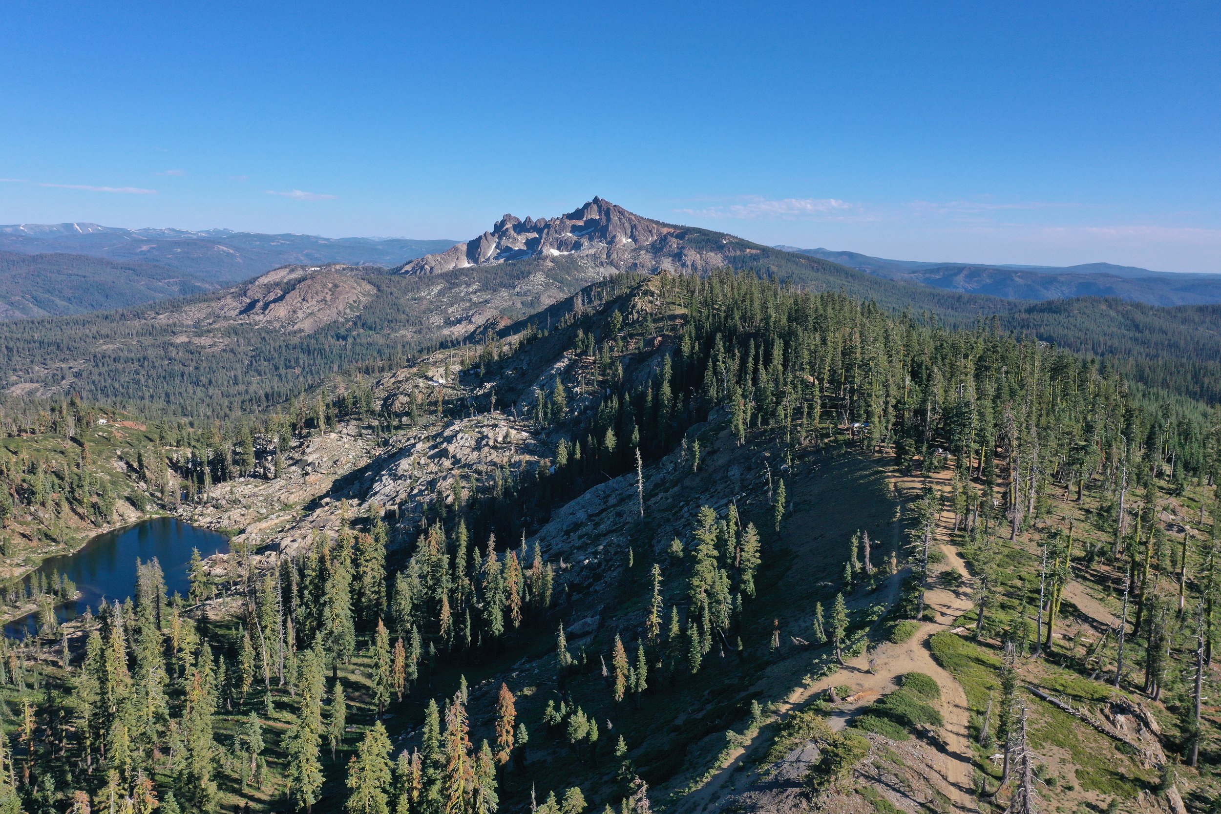
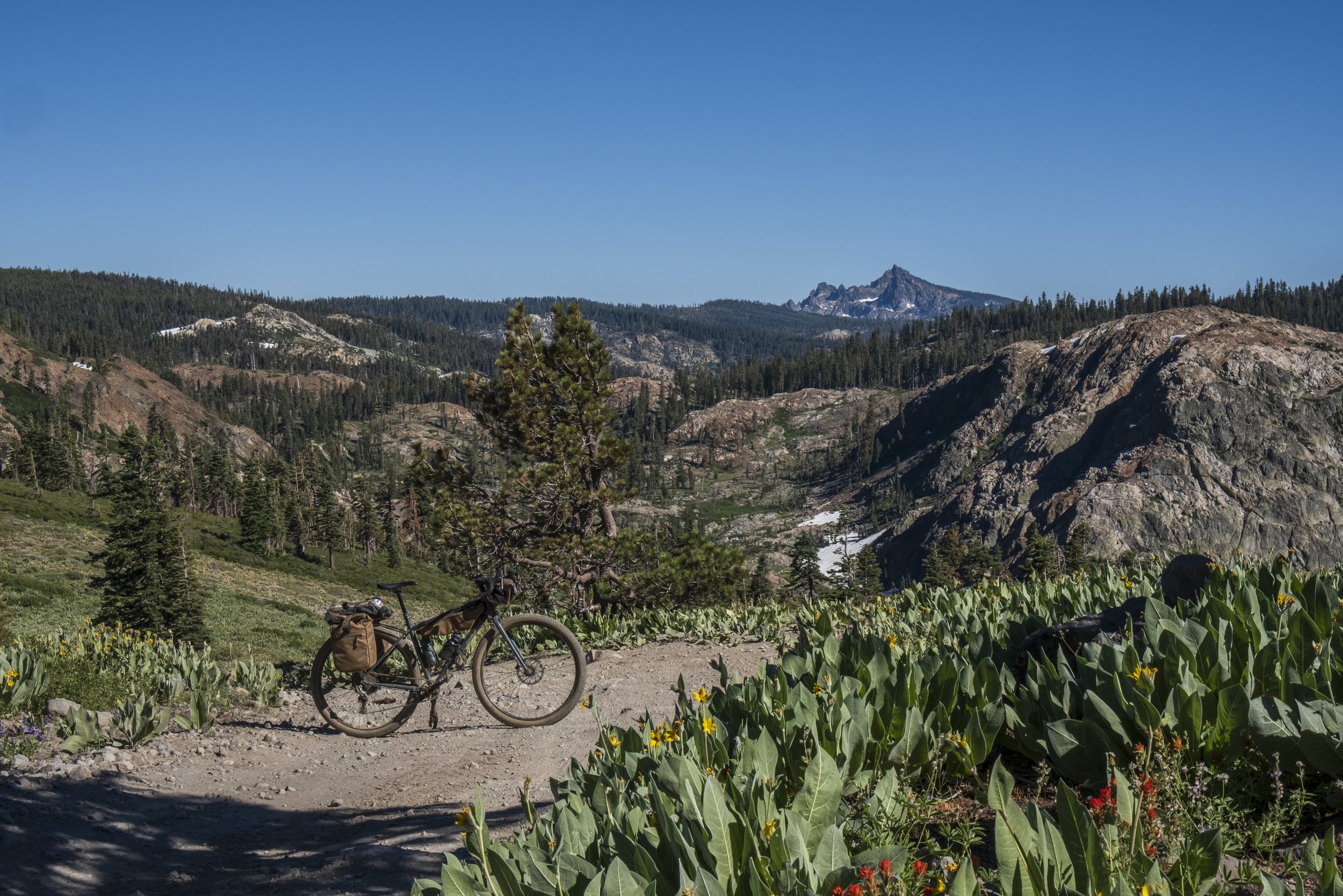
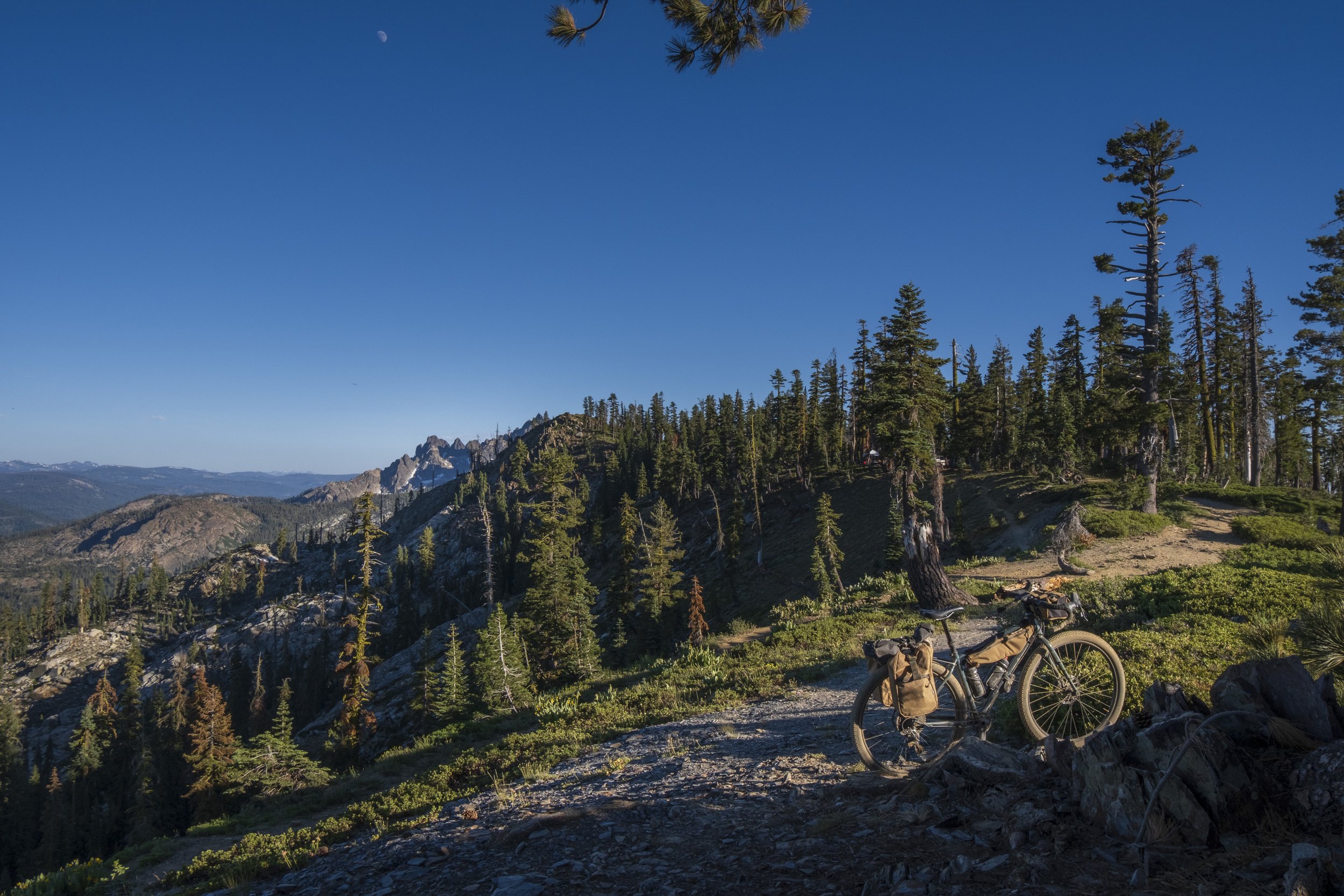
High-elevation mountain passes and peaks
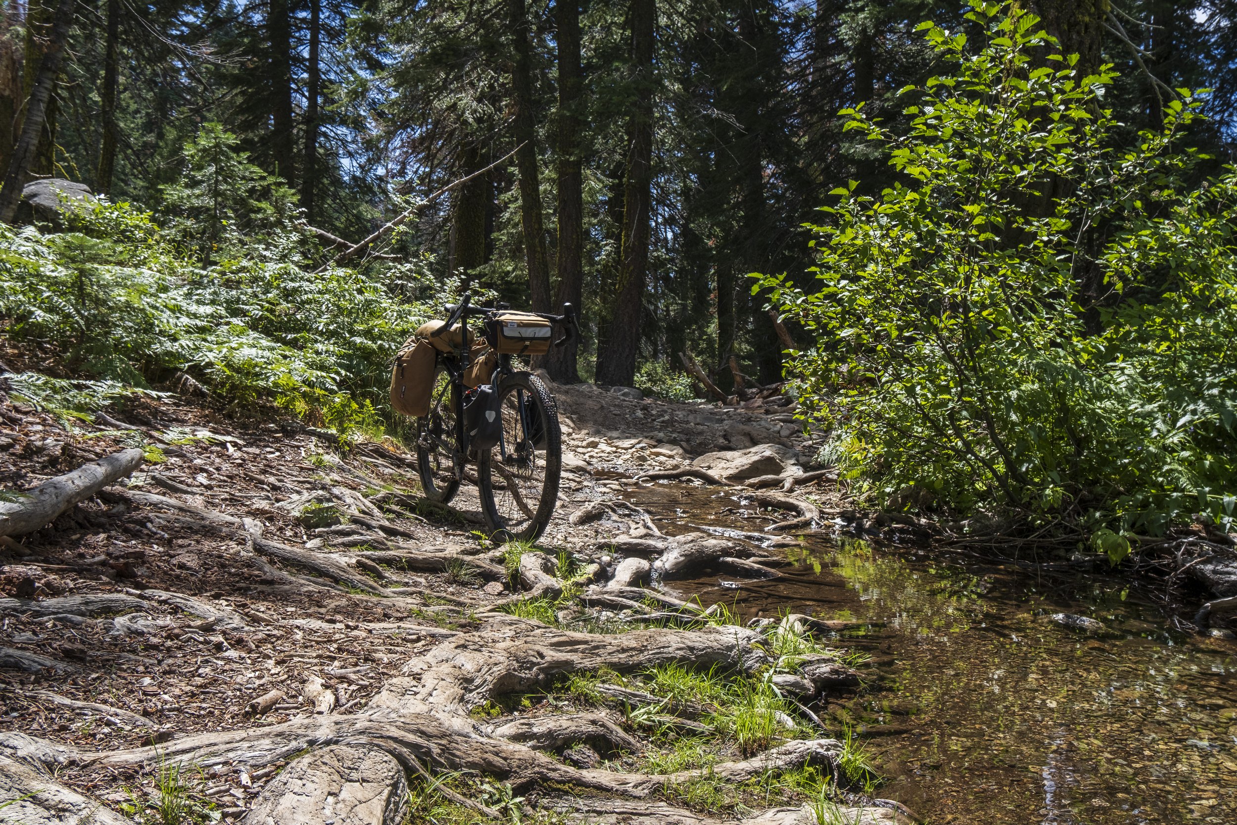
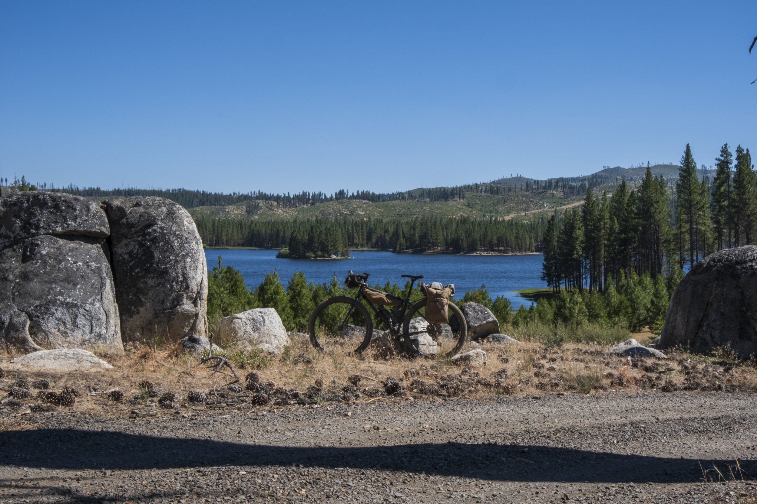
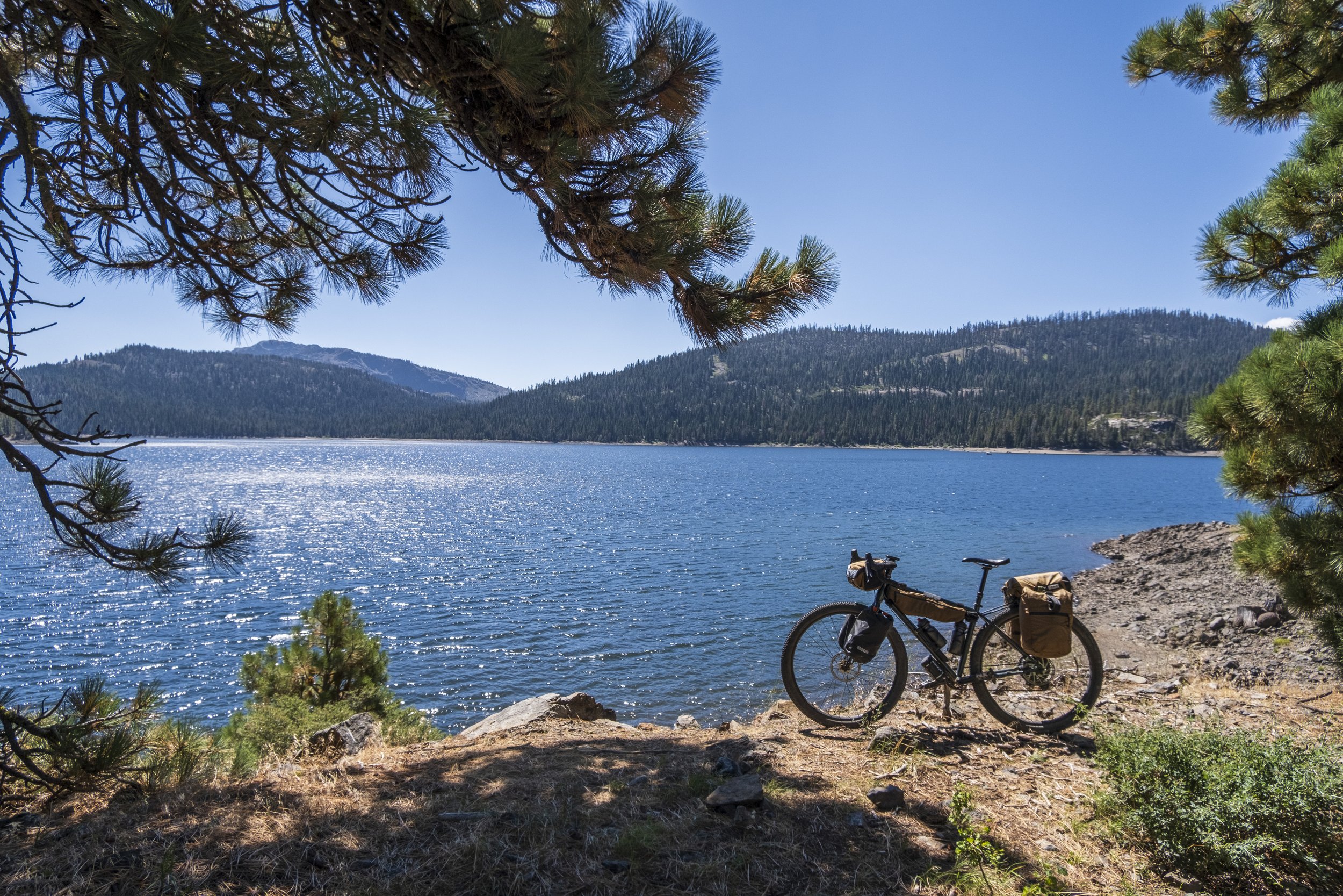
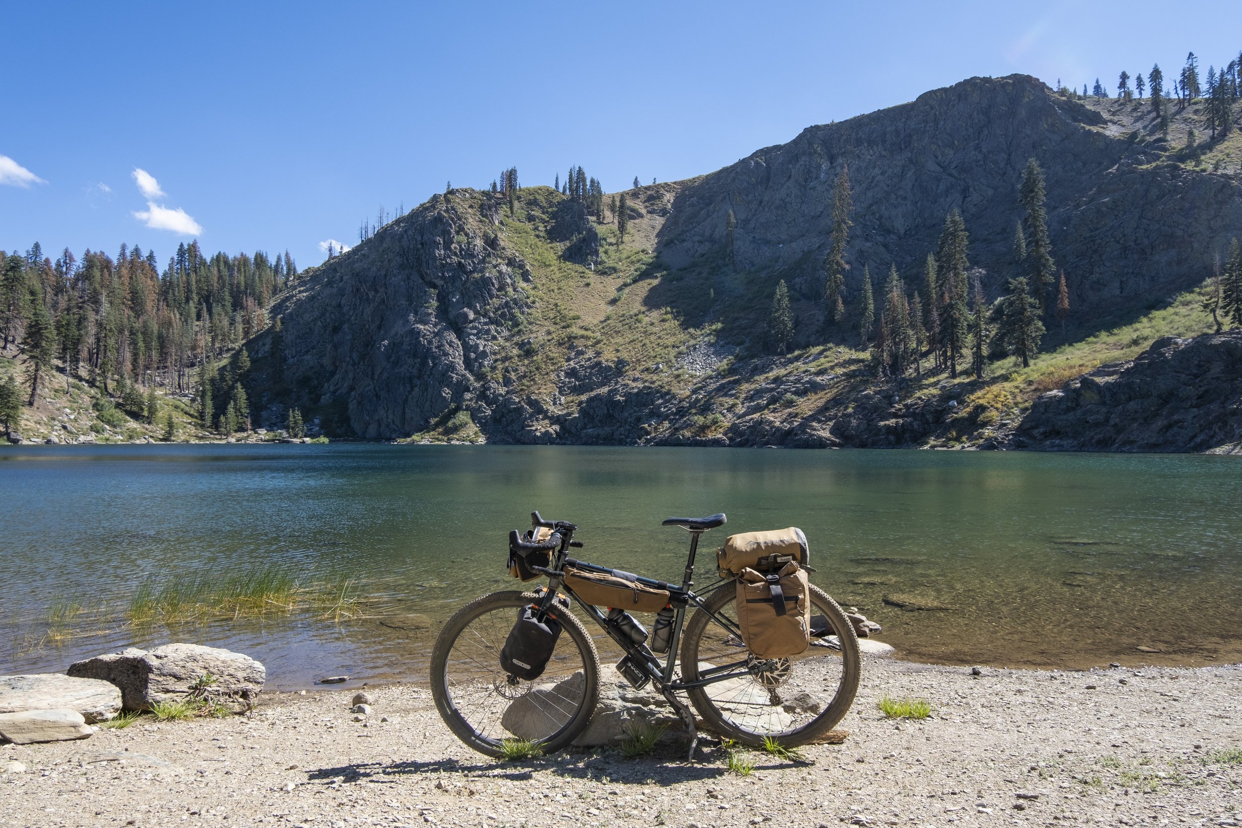
Abundant camping and water... rivers, streams, creeks and lakes
Gold Rush historic towns provide ample resupplies
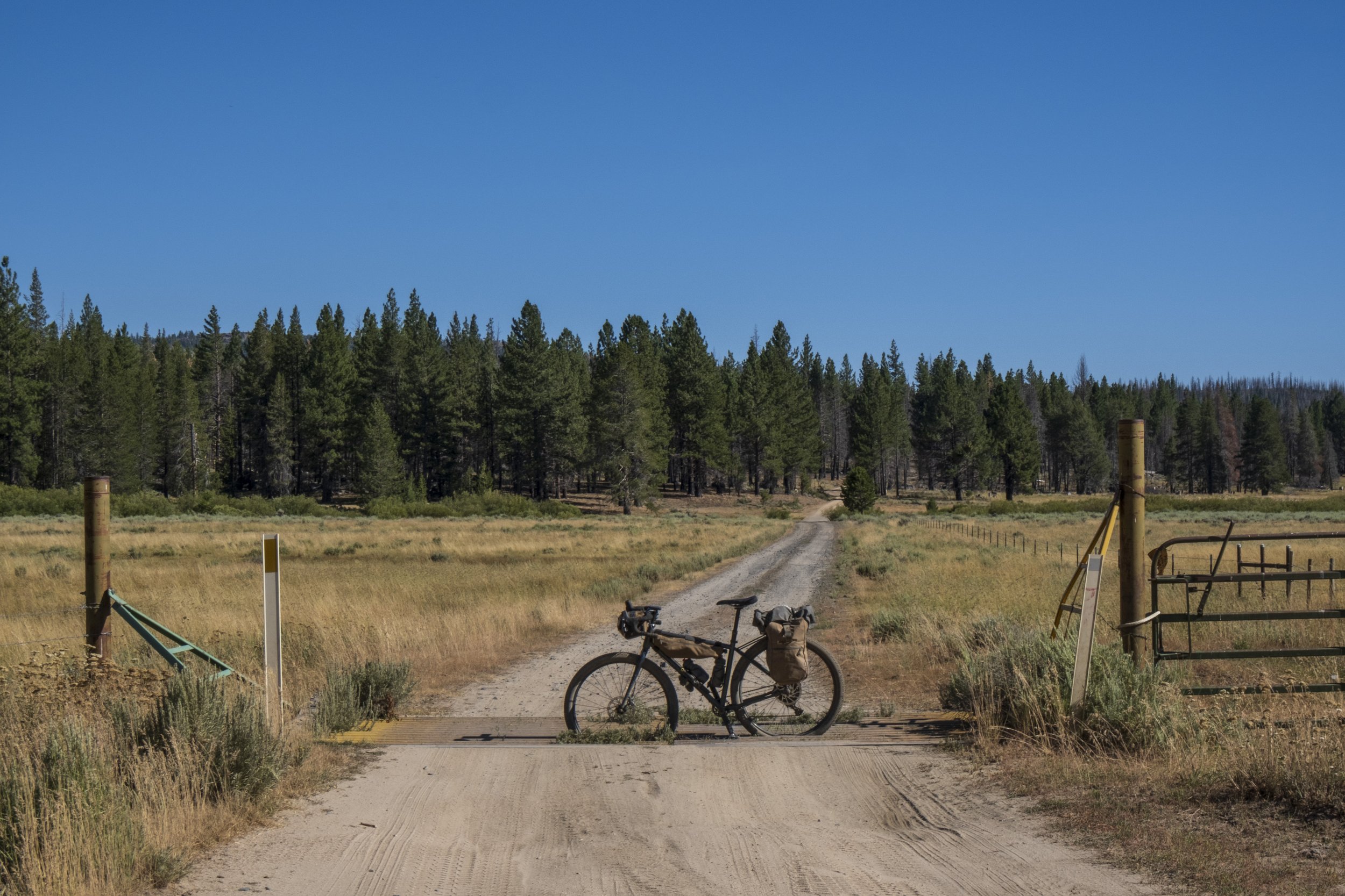
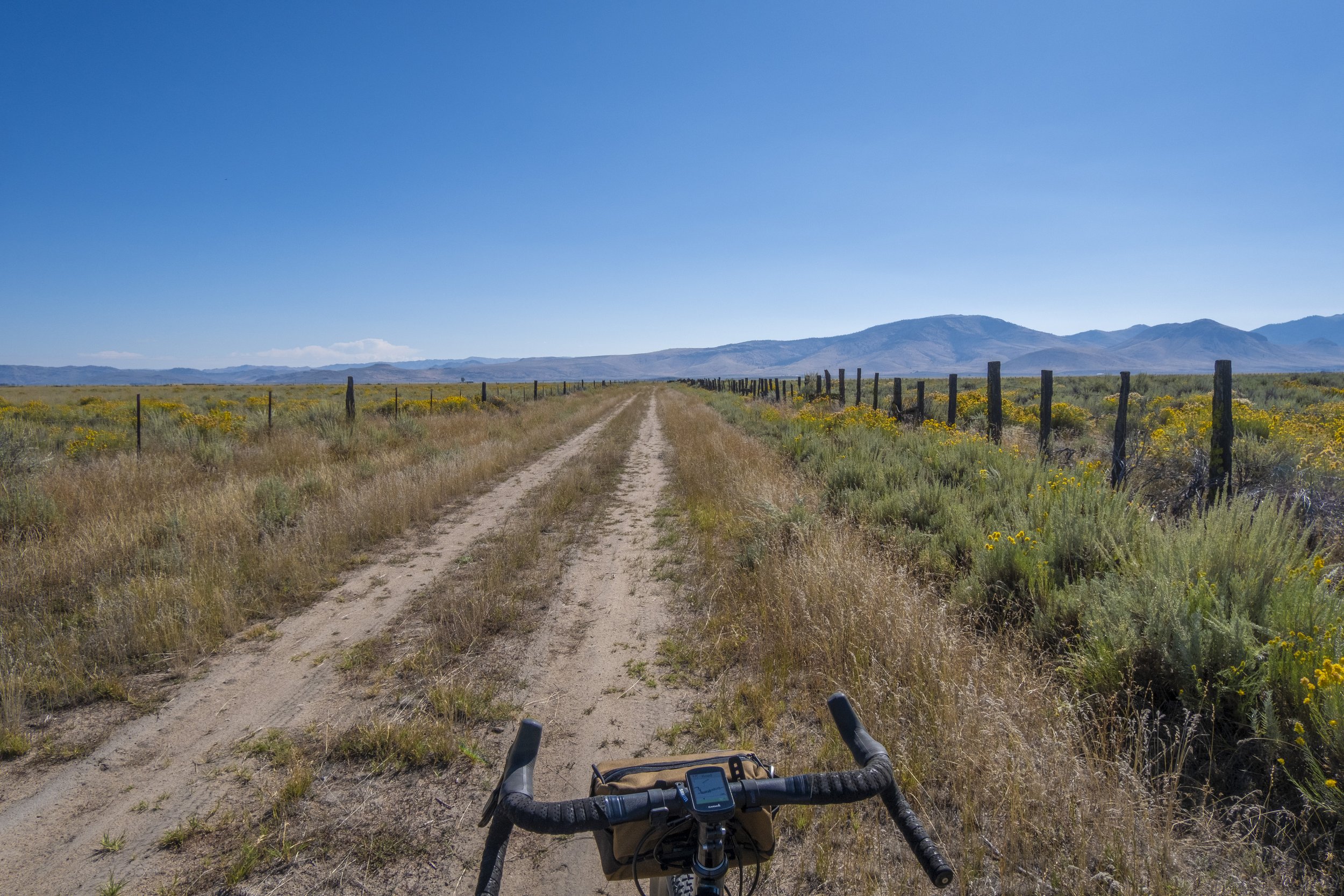
High Sierra plains with free-roaming mountain cattle and livestock
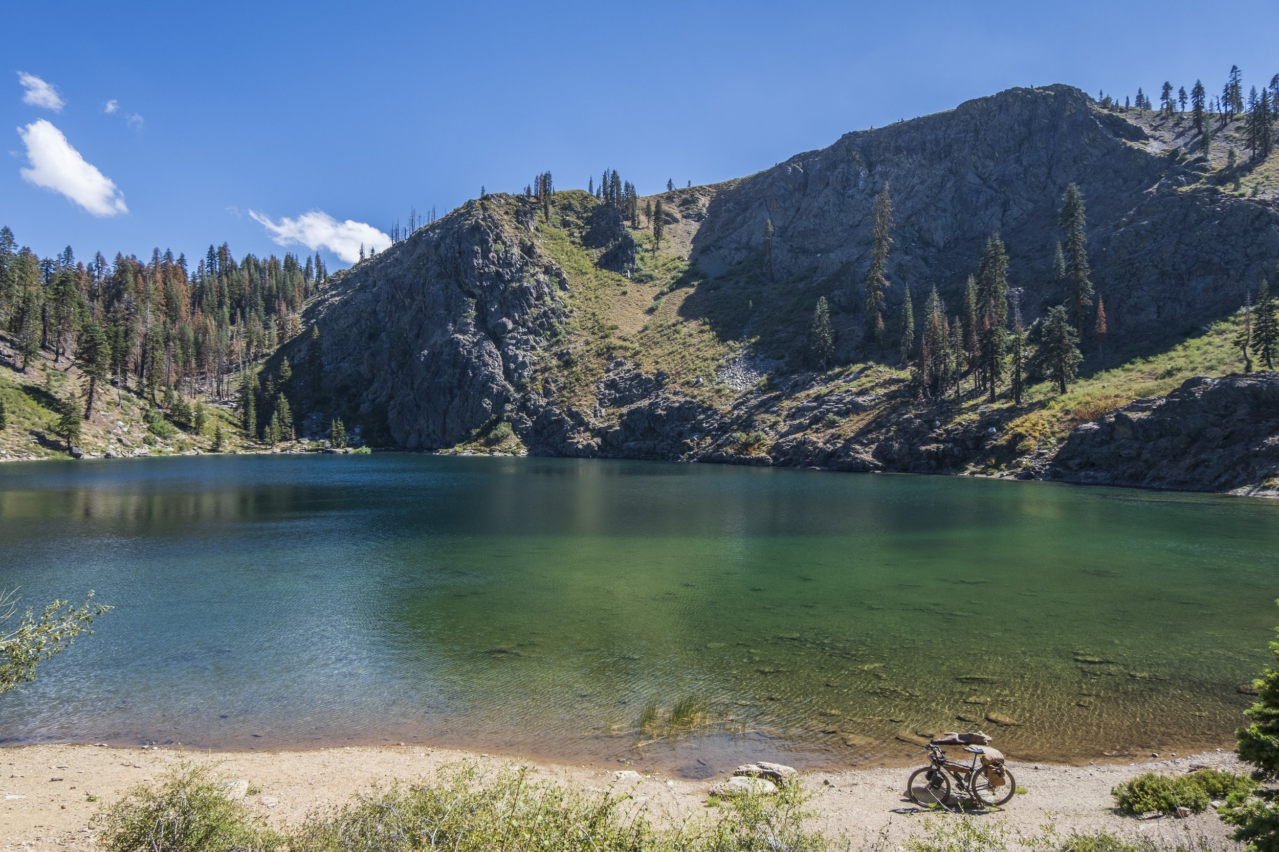
Glacier-carved alpine lakes
Amazing scenery and natural beauty
Solitude
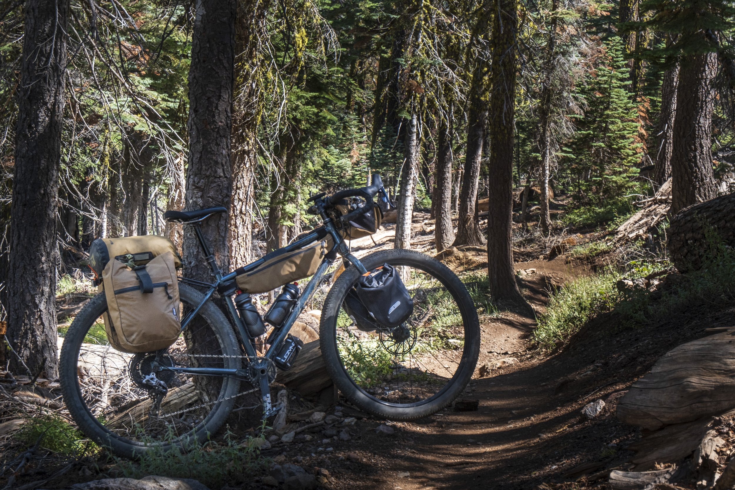
Recommended Bike Setup and Surfaces

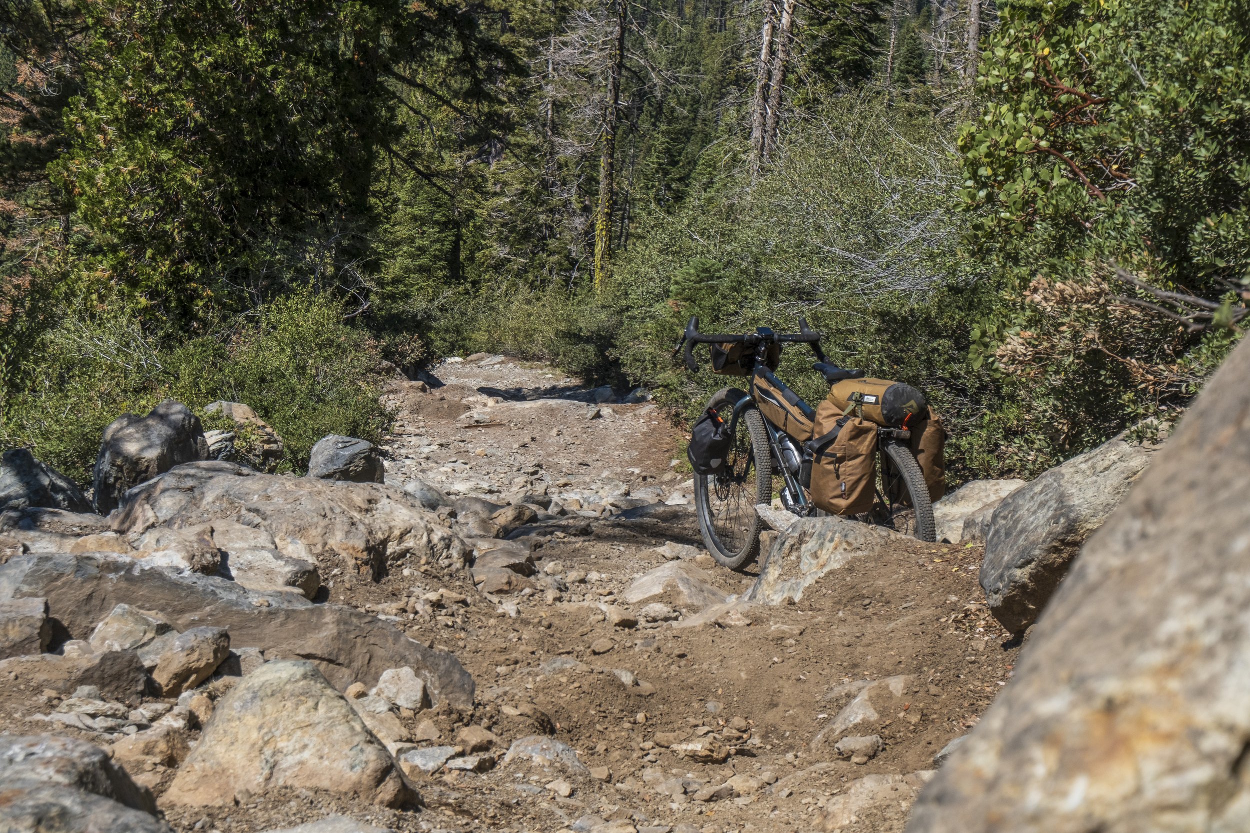
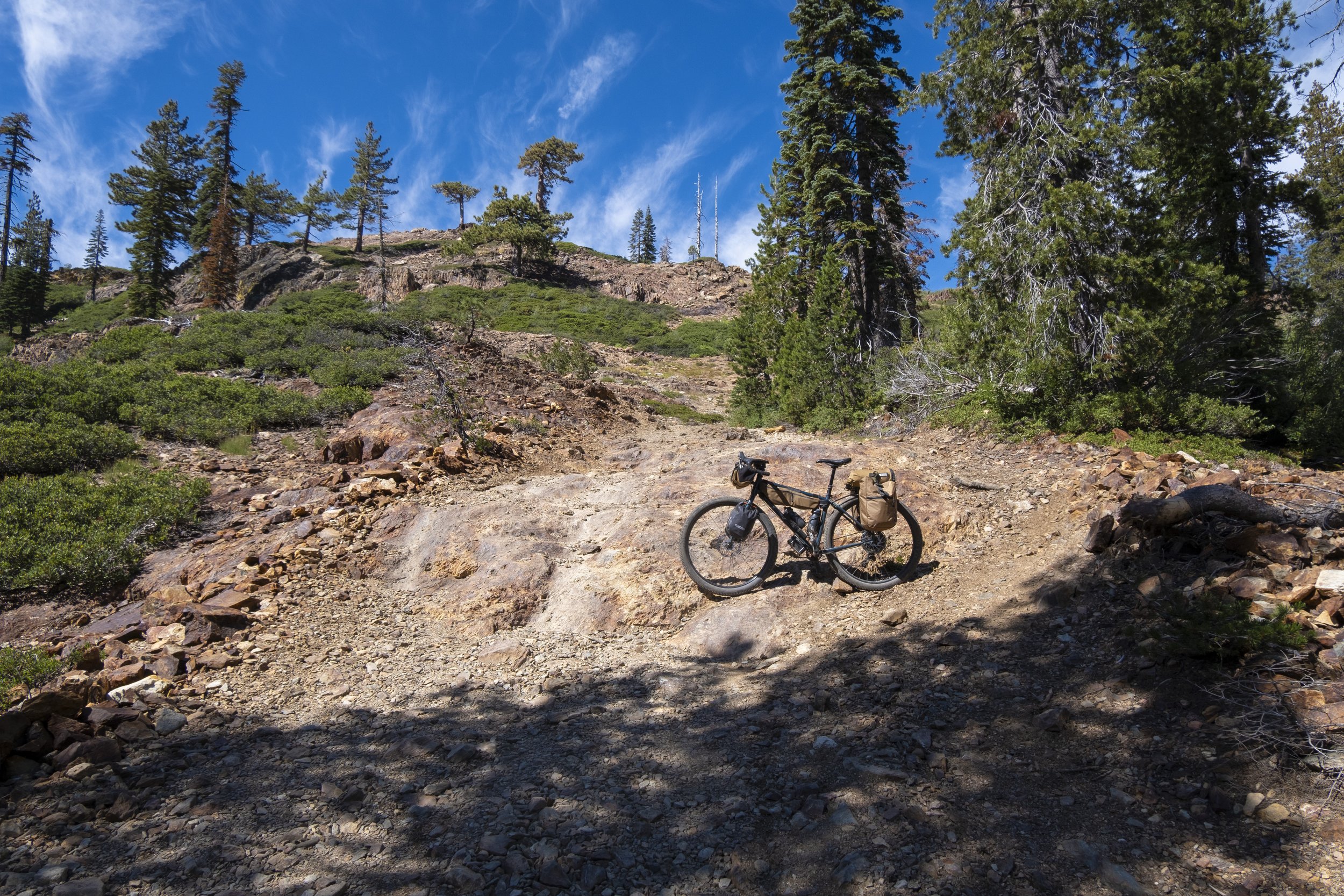
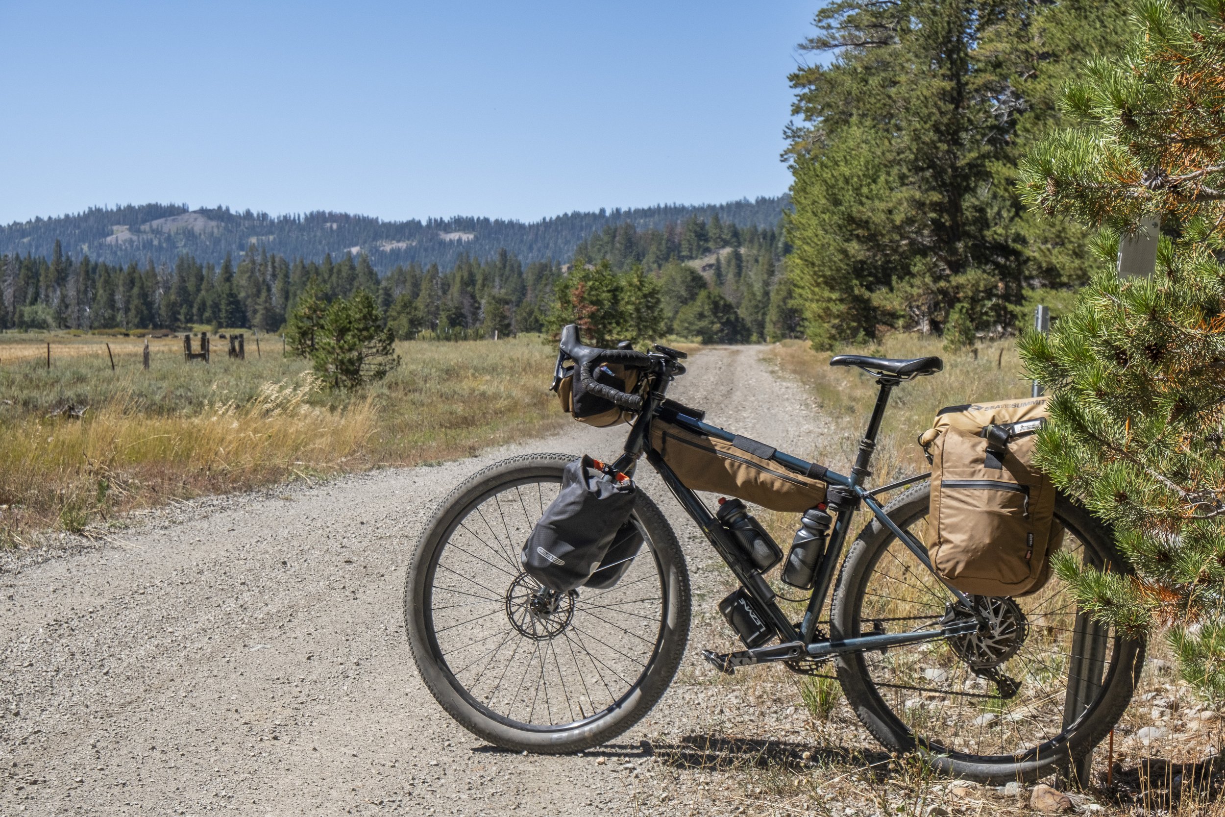
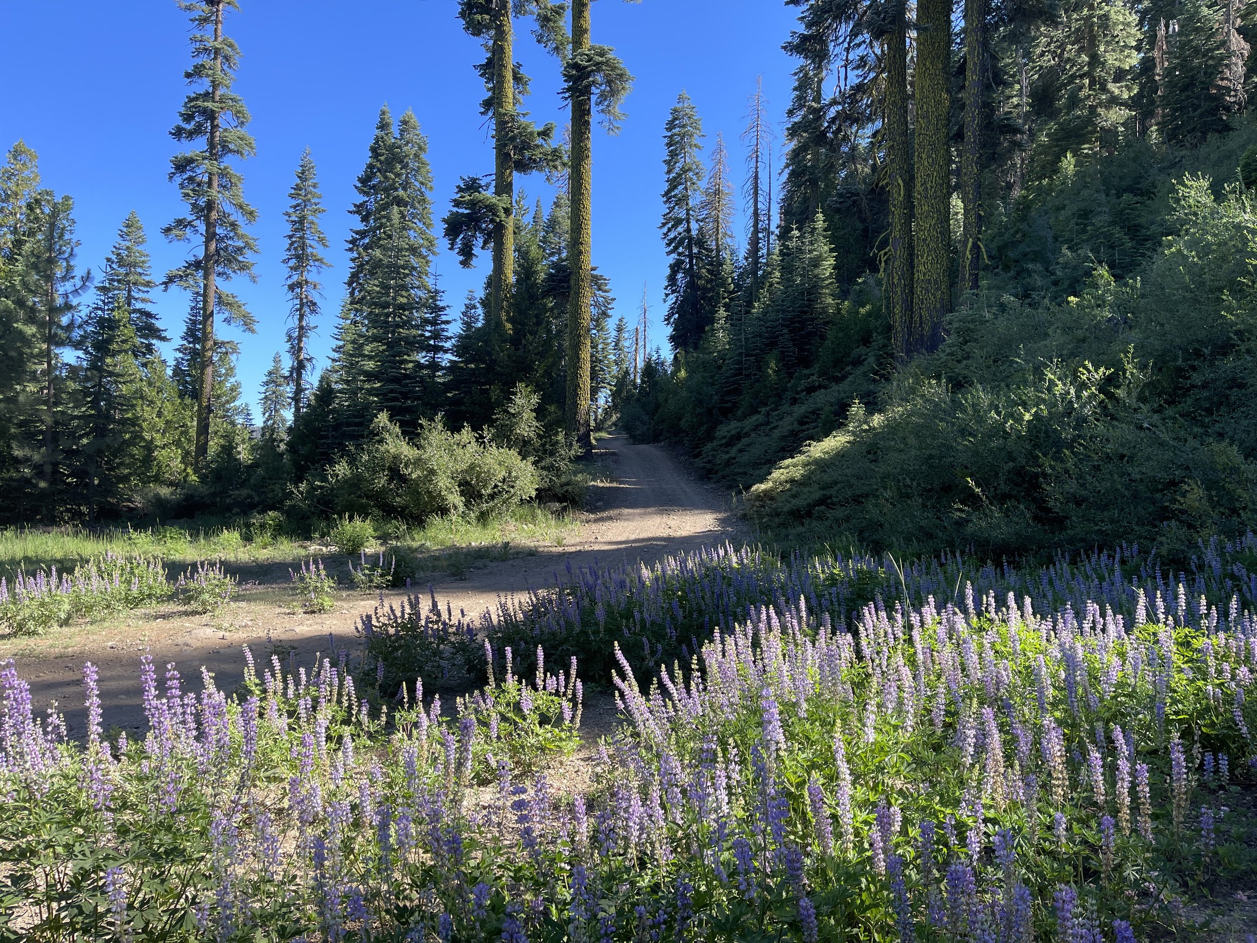
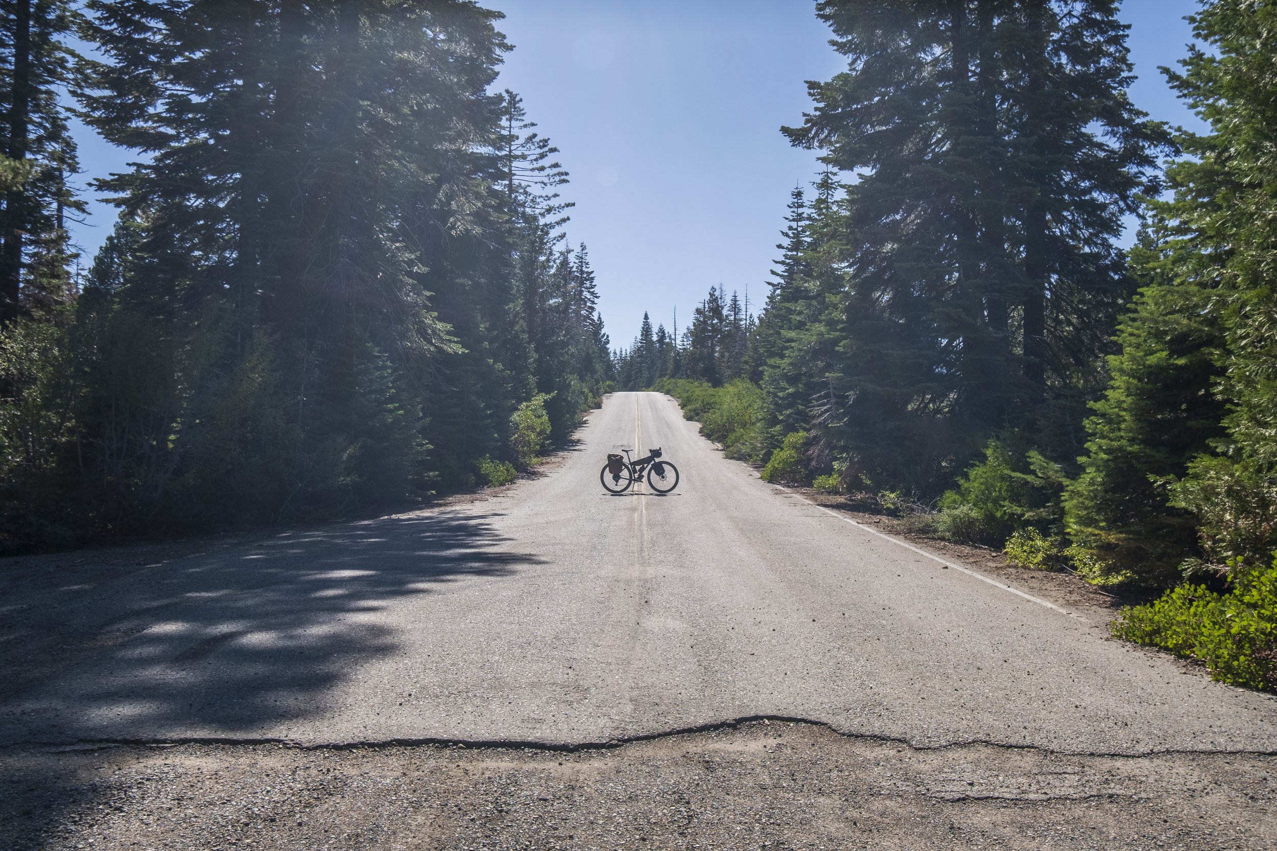
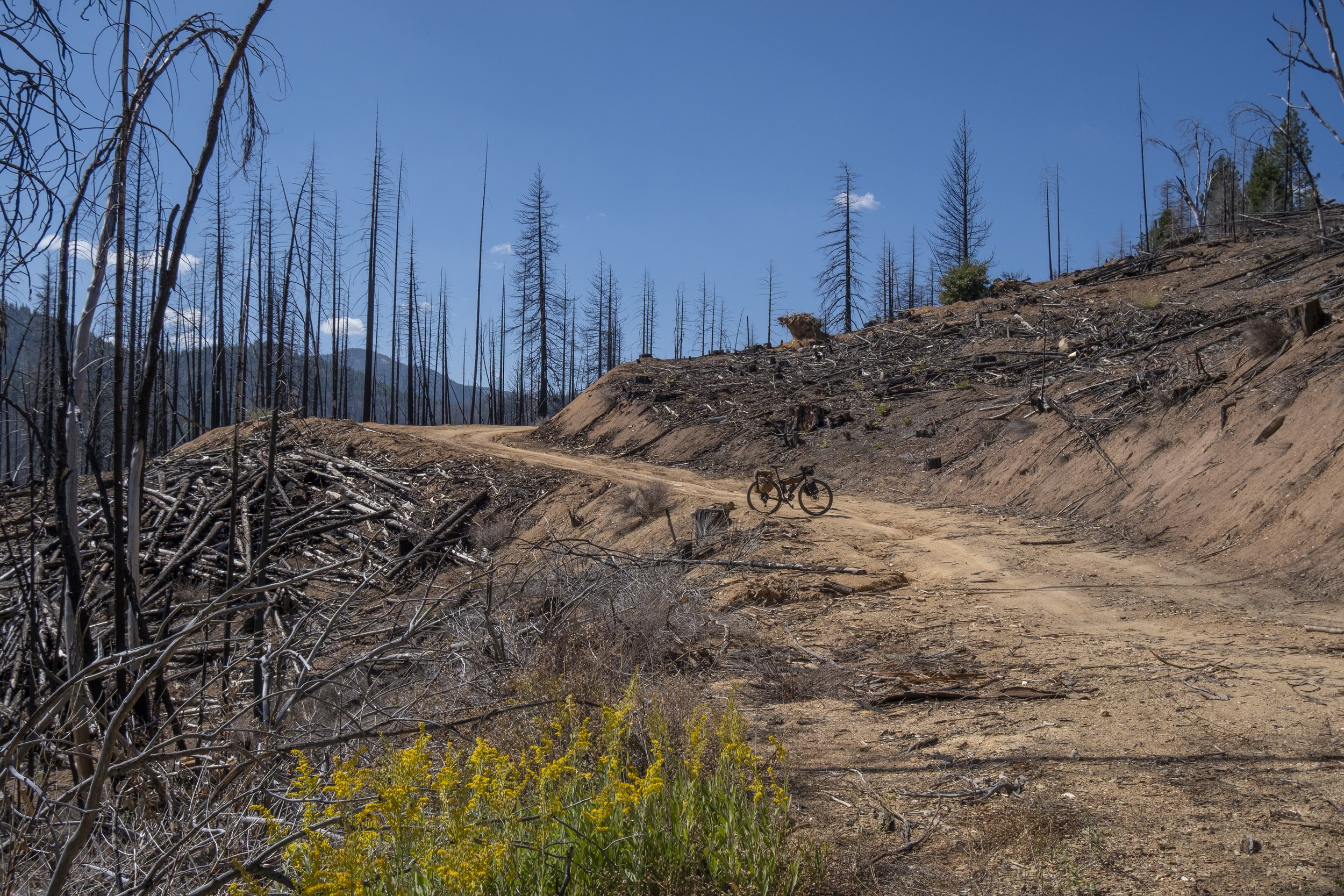
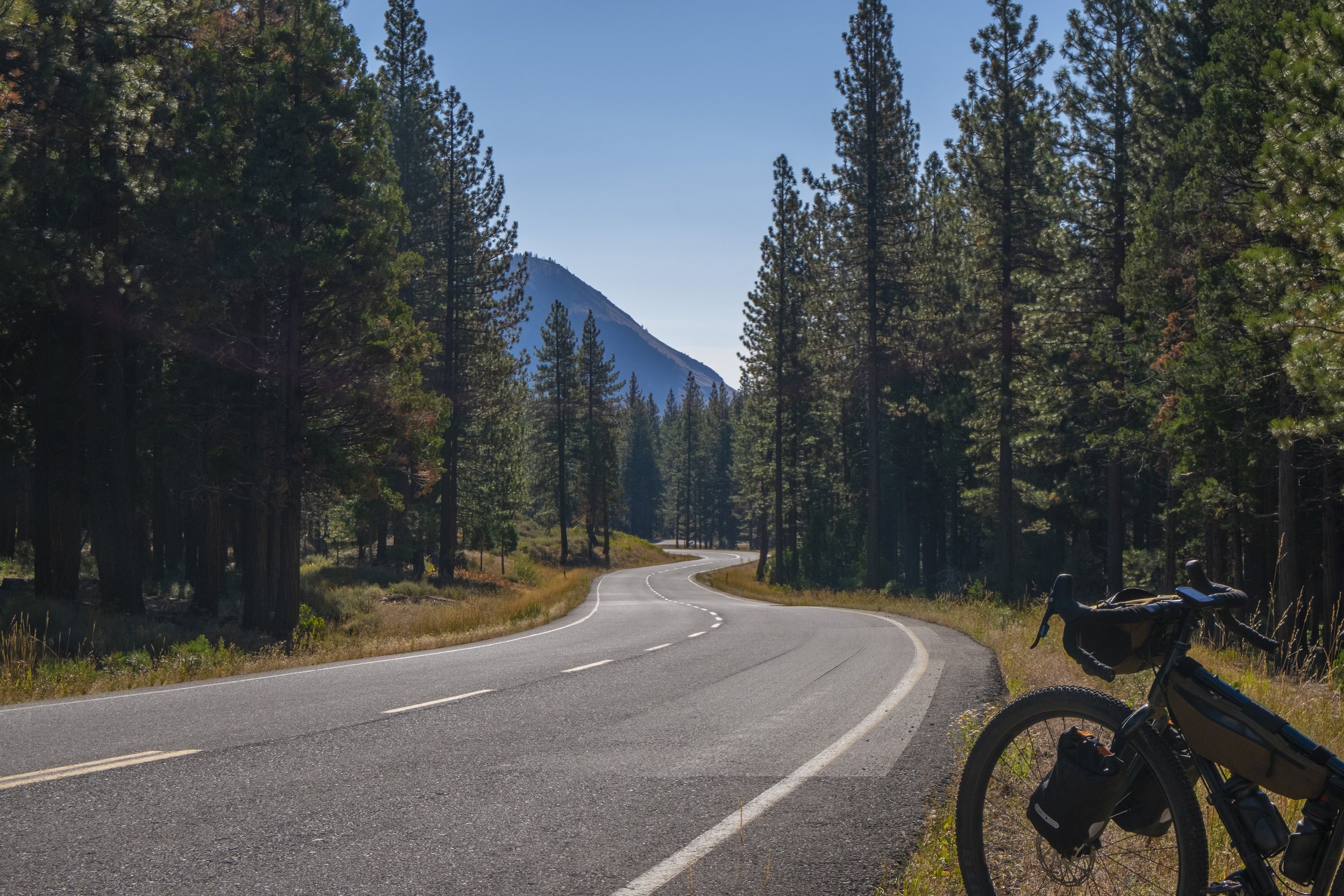
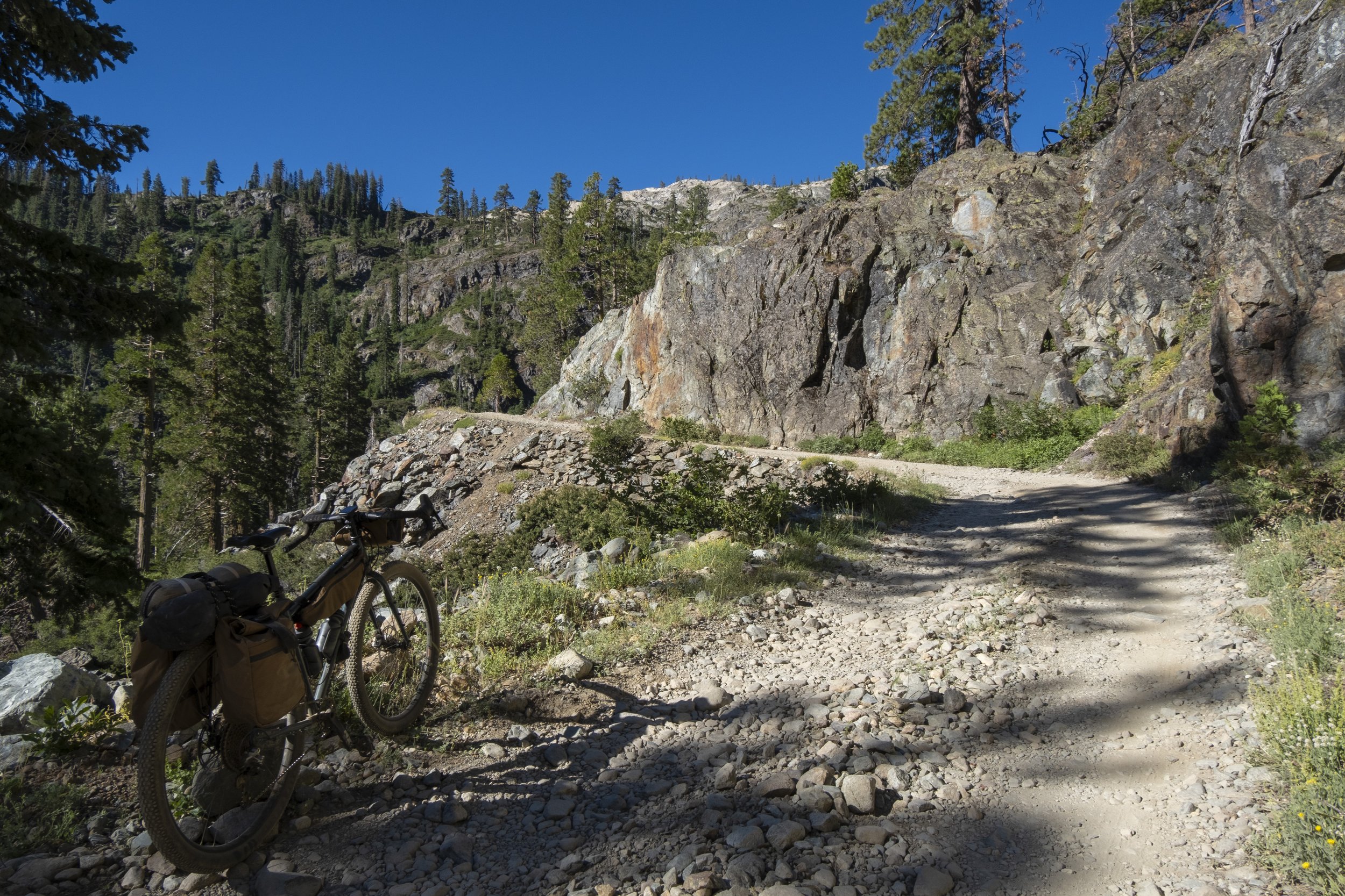
A drop bar gravel bike with 35 mm + tires or a Hardtail Mountain Bike. I rode the route on my Kona Sutra LTD and for the most part, it was the right bike for me. By the books, the route has 100 miles of paved roads, but this is misleading as the majority of the paved roads are remote and feel like forest service roads once you get a few miles from towns. The surfaces vary and can feel much more like gravel roads than smooth tarmac. The other 150 miles, are Forest Service double-track roads and these range from smooth to rocky but are not technical by any means. The rockiest sections are up near and past the Sierra Buttes. There are a few hike-a-bike sections there for sure, but nothing too crazy.
The beauty of the route is its flexibility to start and end in any of the towns or just do a smaller version of the full route if you rather.
I decided to start and end in Truckee since it's the easiest town to get to for people traveling to the area and it made sense for the resupply layout.
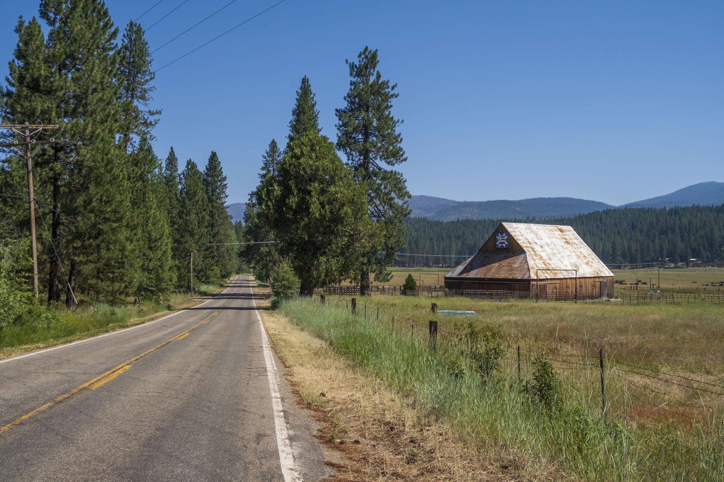
The first day travels quickly out of Truckee, diving off the beaten trail as you travel into Jackson Meadows and along the Historic Henness Pass Road before dropping into Downieville for a resupply and camping spot on the North Yuba River.
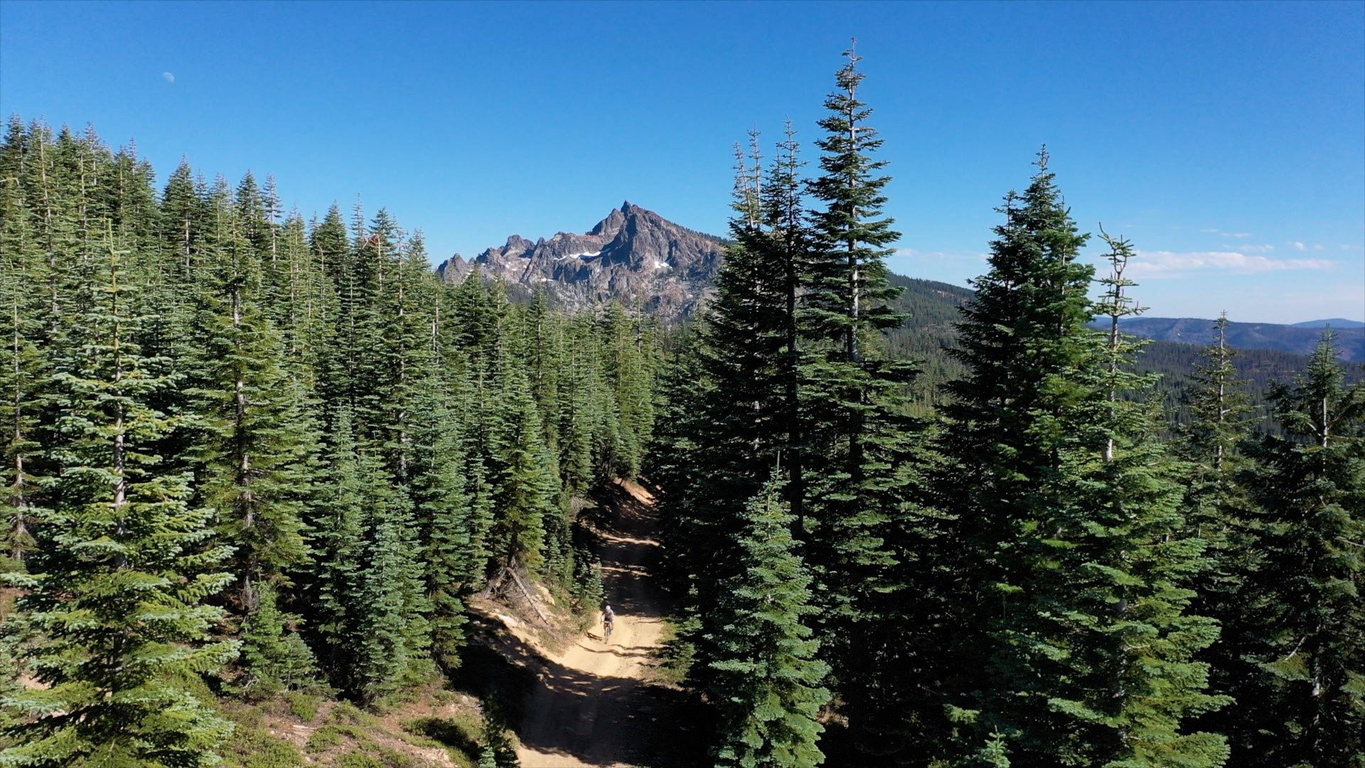
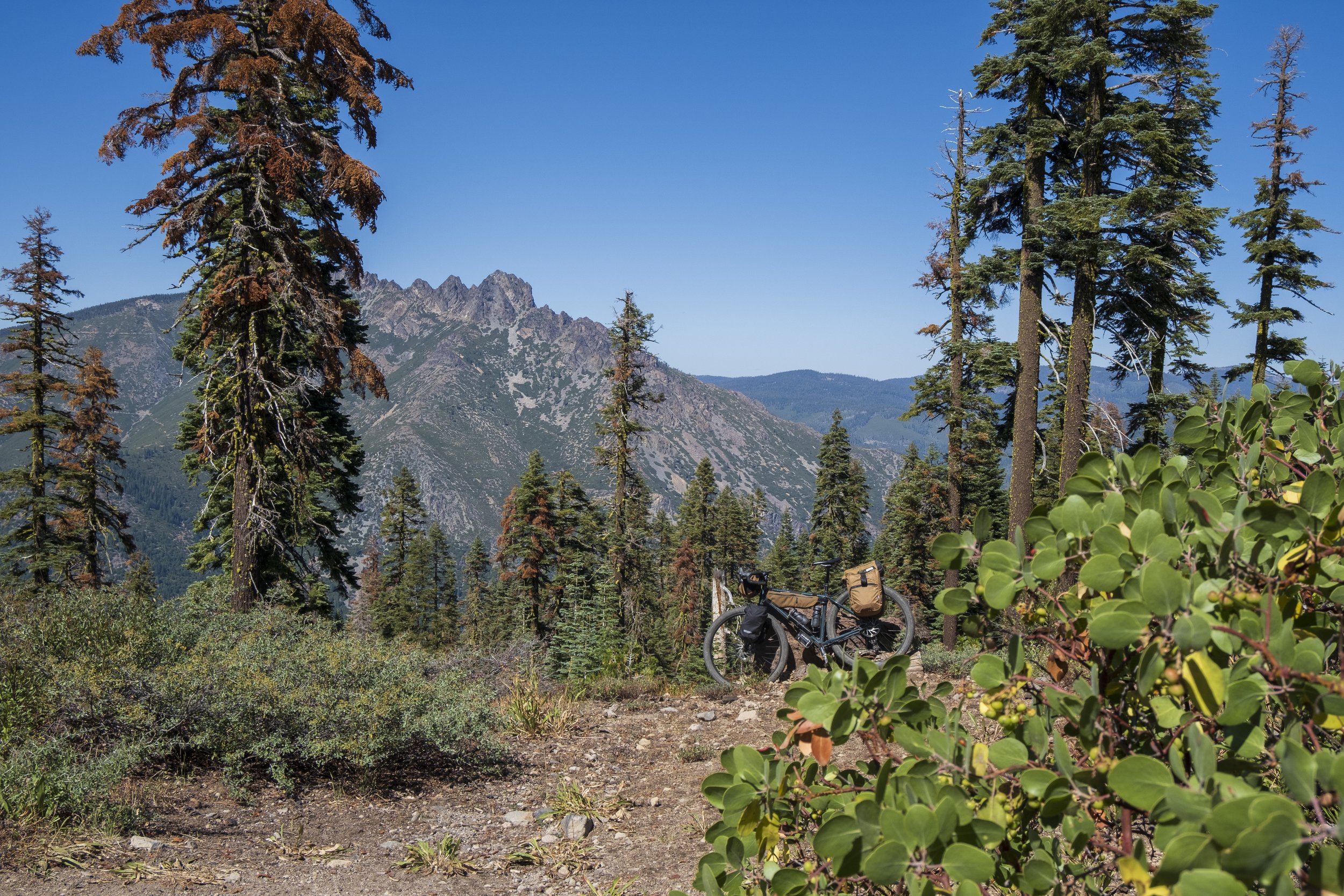
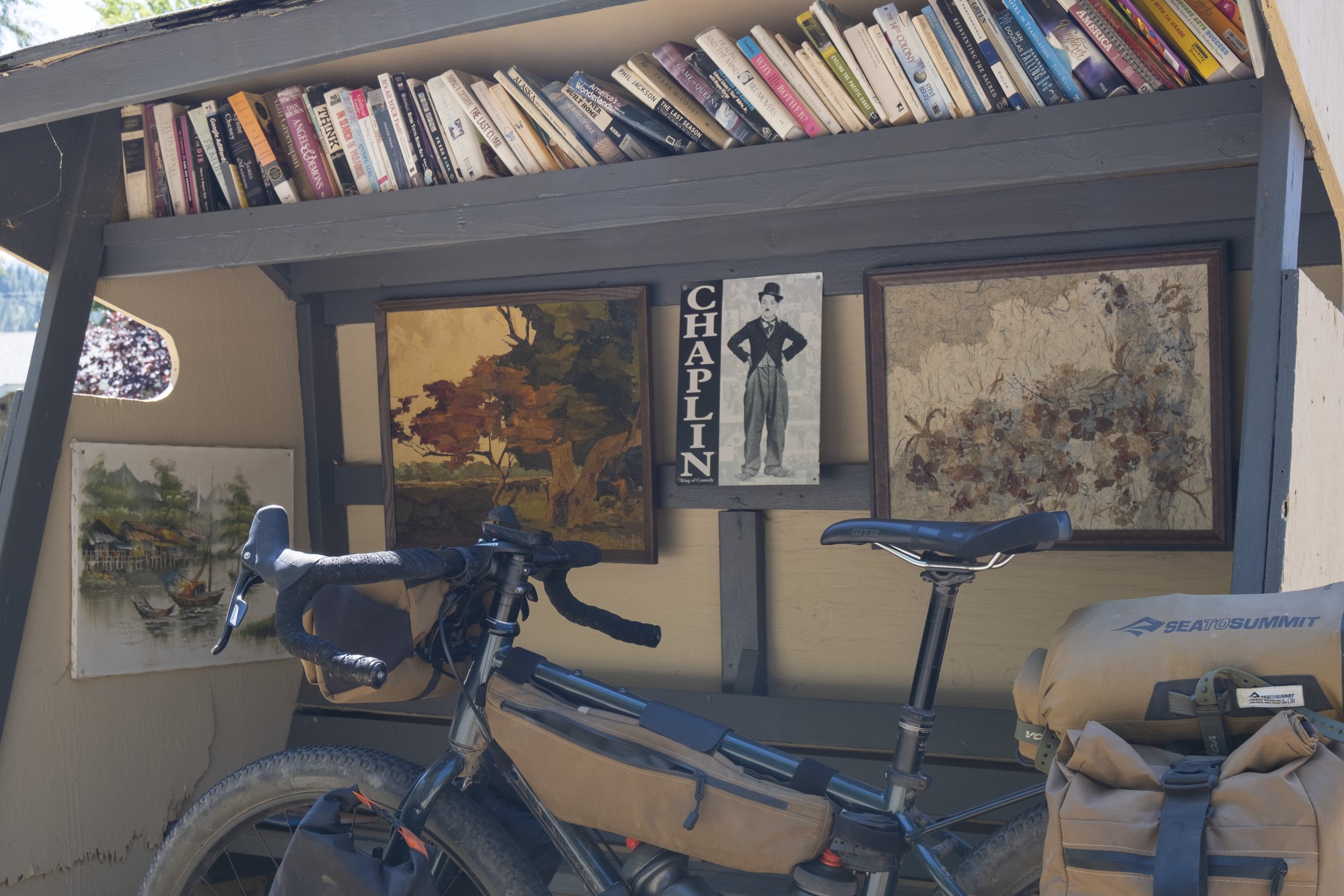
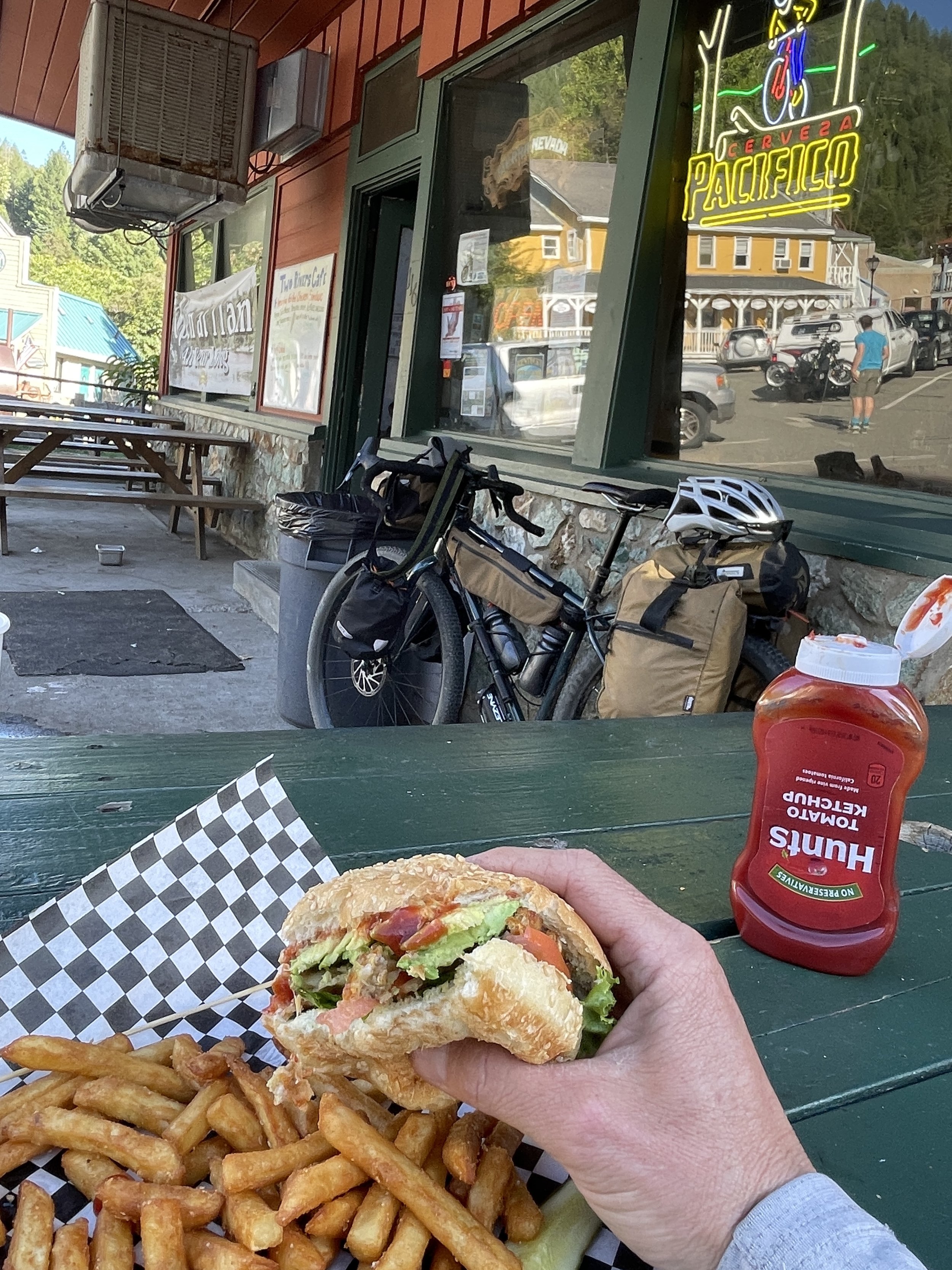
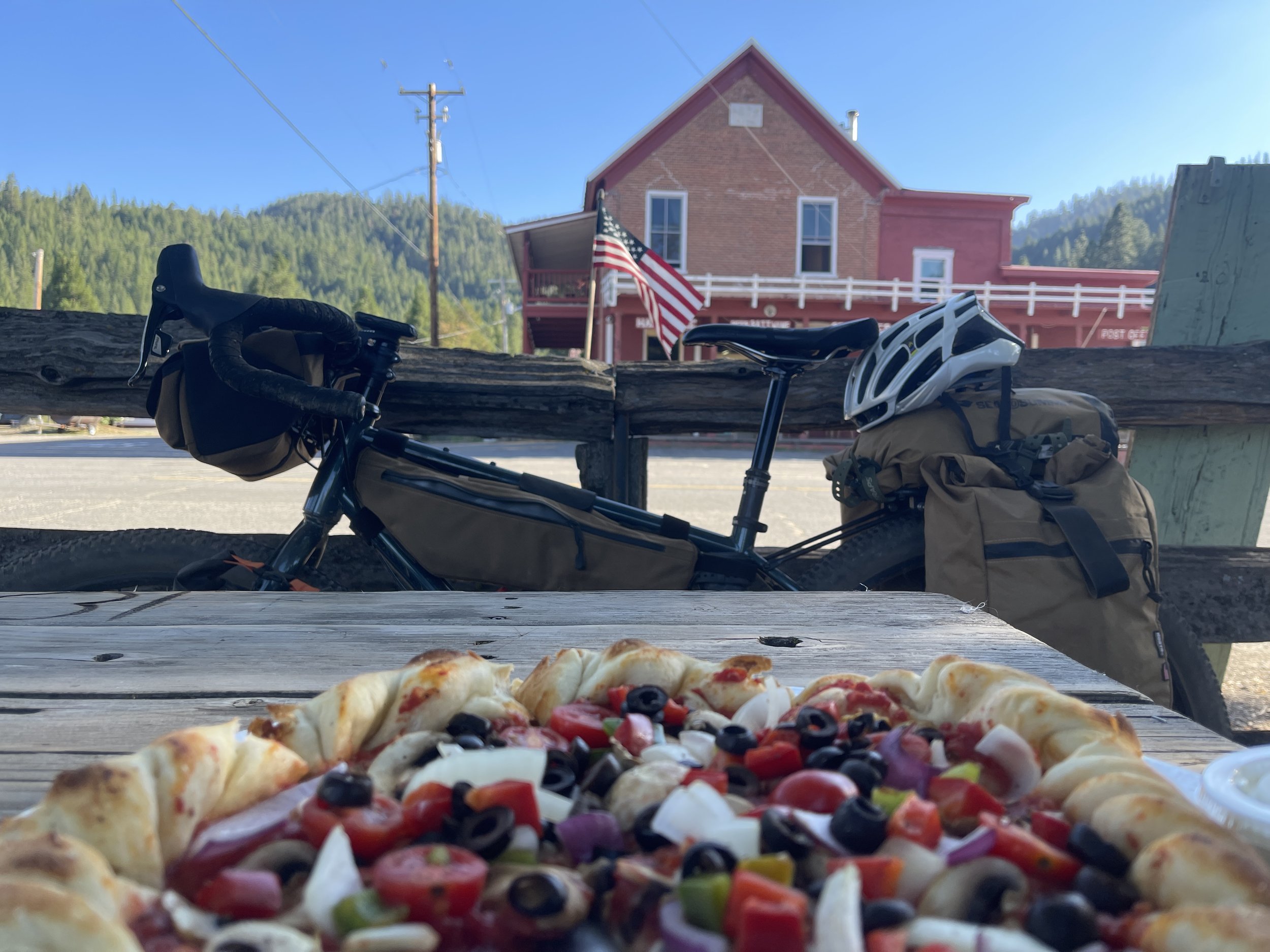
Downieville is a great town in general and an even better place to resupply on any backcountry trip. It has a few restaurants, Inns, a general store, a bike shop, a hardware store, and two snow-melt rivers merging into town. From Downieville, the route swiftly climbs ~3000 feet from the river’s edge to the top of the Sierra Buttes crest. A bit of this section follows the world-famous Downivelle Classic Mountain Bike Race course dropping down “Baby Heads” before heading up Pauly Creek rather than descending back into Downieville. Bikepacking down “Baby Heads” on a touring bike was a slow laughing and crying experience, dipping in and out of Type II plus fun.
Each day the route changes, pretty drastically and that is exciting! The crux of day three is the climb up Mount Hough at the end of the day before descending into Taylorsville. Taylorsville is another great town to arrive in. They have an awesome restaurant, The Grizzly Cafe, an amazing general store, and a campground with hot showers right on the river.

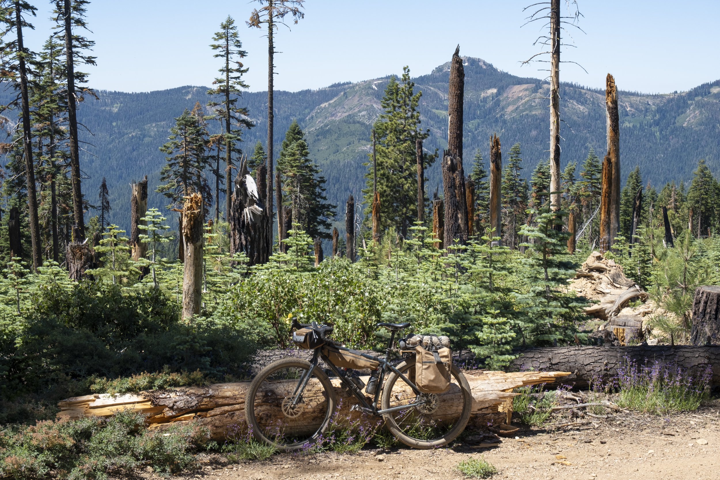
From Taylorsville, the route hits the northernmost portion of the Sierra Nevada and the terrain is high and dry. This leg features Antelope Lake and Lake Davis with lots of interesting terrain in between.
The stretch from Lake Davis to Loyalton has about 15 miles of pavement which was nice at this point in the ride. Once back on the dirt, “Smith Neck” road travels back to Truckee via Stampeed Reservoir with some pretty smooth gravel road surfaces.
The best time of year is mid-summer to late fall, due to snowpack. Check the weather window, it gets hot in places and can be freezing at night.
The Lost Siera Bikepacking Route was inspired by the Sierra Buttes Trail Stewardship’s Connected Communities Project. The Connected Communities project is a 600-mile visionary singletrack trail that aims to connect 15 small mountain towns in the Lost Sierra Region. The project is currently in the developing stages and I wanted to get out there and see the landscapes firsthand, inspiring me to map out my own version of the route...
...a self-supported bikepacking route that follows their model but could be done now on existing forest service roads. It was an amazing journey!
